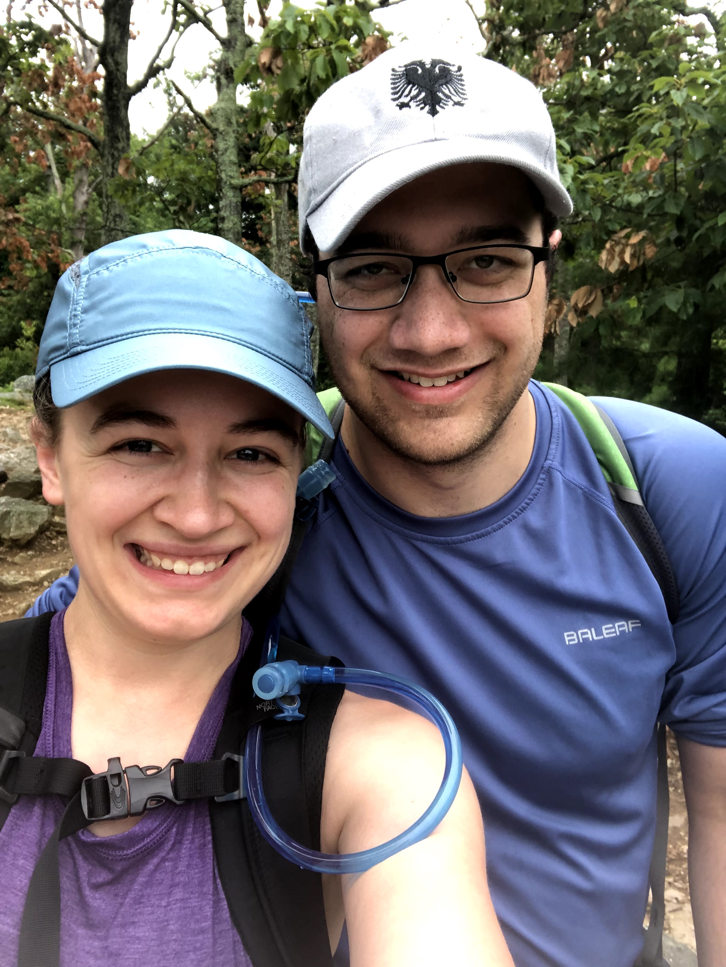
The 2021 summer of hiking has not gone to plan the way I would have liked. After posting the hiking trips I hoped we’d take this summer, my hiking partner and husband dealt with some pretty terrible back issues that put the AT on the back burner. After about three months of doctors, PT, and slowly adding walks back into the daily routine, we have finally made it onto a trail.
Before we get out there – last year’s readers might remember that Henry was plagued by his too-small hiking boots. We went down to the Washington D.C. REI store to pick up a few essentials that included new boots. This introductory hike was to reacclimate us to the forest as much as it was to break in those new boots (Keen, non-waterproof if you’re interested). We also got Henry a pack and new water reservoirs with straws, and we plan to go back down to pick up a stove, sleeping pads, and trekking poles soon.
The hike we chose to practice on was Maryland’s Sugarloaf Mountain. There are lots of other Sugarloaf Mountains, including in Virginia (about 3x as high as Maryland’s) and Brazil (about as high as ours but jutting out into the Atlantic Ocean overlooking Rio). Maryland’s Sugarloaf is tended to by a private group called The Stronghold. They don’t have garbage cans on the property anymore and ask that all trash brought in is packed out. They do have receptacles for pet waste, and unfortunately a lot of people use them as trash cans.
We parked in the Eastview parking lot and used the orange trail first to get to the highest summit on the map – 1282 feet. The orange trail is a straight shot up the mountain with a huge elevation change. For two hikers who hadn’t been on a trail since November, it was tough. Barely a quarter mile long though, it’s achievable for an introductory or average hiker. We put our heads down, our new water hoses between our teeth, and climbed. Within minutes I was glancing down at my watch every little while to make sure it was tracking the obvious, Olympic-like pace we were making. I stopped looking when I realized we were closer to the pace of toddlers than healthy adults.
Soon enough though we made it to the summit. The summit at the top of Sugarloaf Mountain is impressive if you have not done any other hiking in the Maryland/Pennsylvania area. If you have, the vista is about the same as the other places you’ve been – trees, some green farming pastures, a few industrial buildings closer to the horizon. A couple guys offered to make room for me to take more pictures on a rock that would “give me a better view” but I’m not sure it would have changed all that much.

After the summit, we took the red and then green trail to the Westview parking lot where we planned to pick up the blue trail. Coming down the green trail toward the parking lot is a series of steep stone steps. If you park in the Westview lot, that is your way of getting to the summit. Honestly, I think I’d rather take the orange trail than hike up slippery stairs.

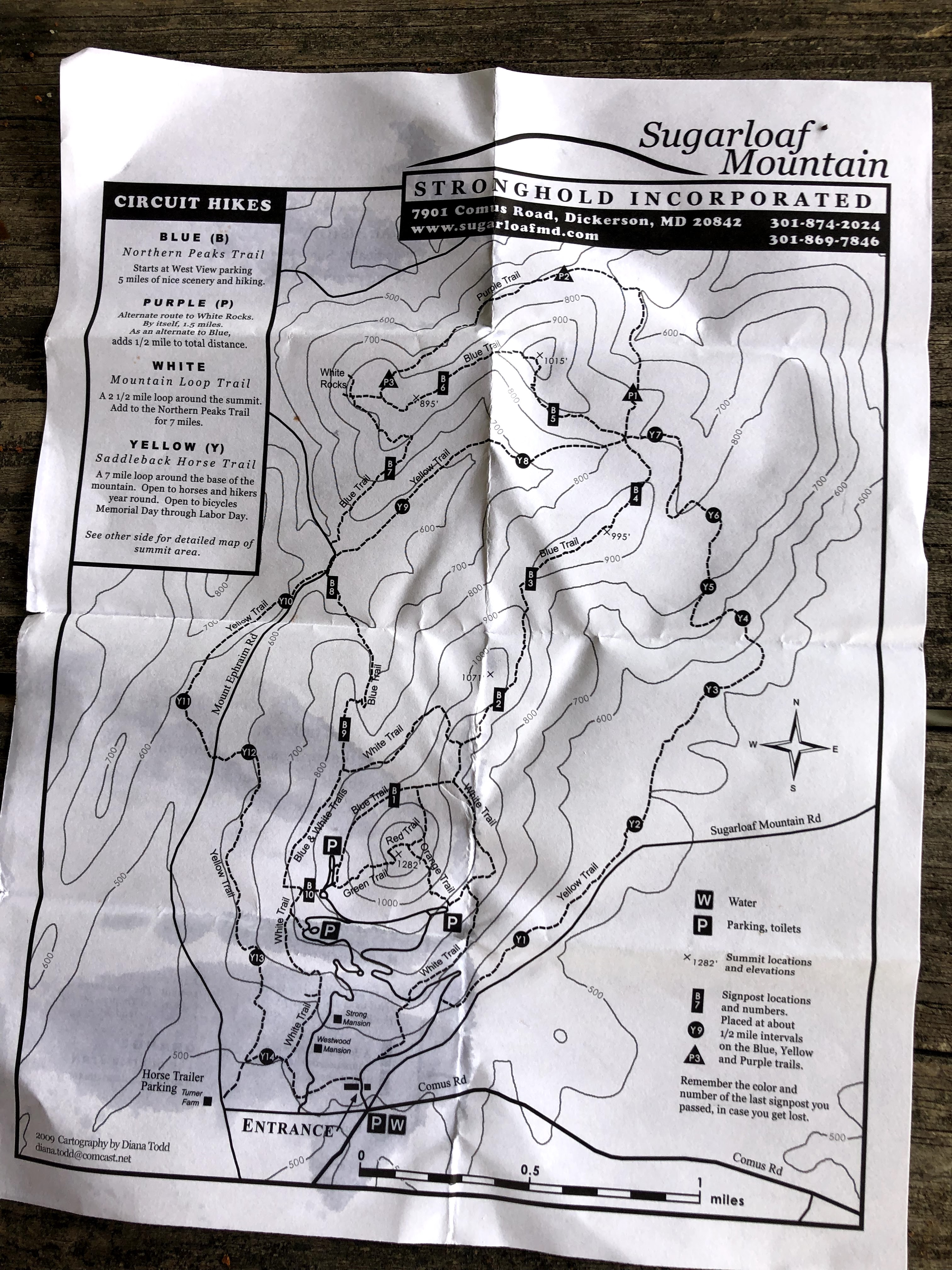
We made it to the parking lot, which had a picnic table area and facilities. I was impressed by the level of care the trail and park showed, regardless of the visitors who littered. The blazes, I have to say, are very well maintained, and it was easy to follow these different, changing trails even through a foggy and sweaty haze. The blue trail is about five miles long, and at this point we had gone less than a mile. The one upside to hiking Sugarloaf rather than the AT, I found, was that it was so popular that I rarely walked through a spider web — someone else had already come along and cleared them all for me.
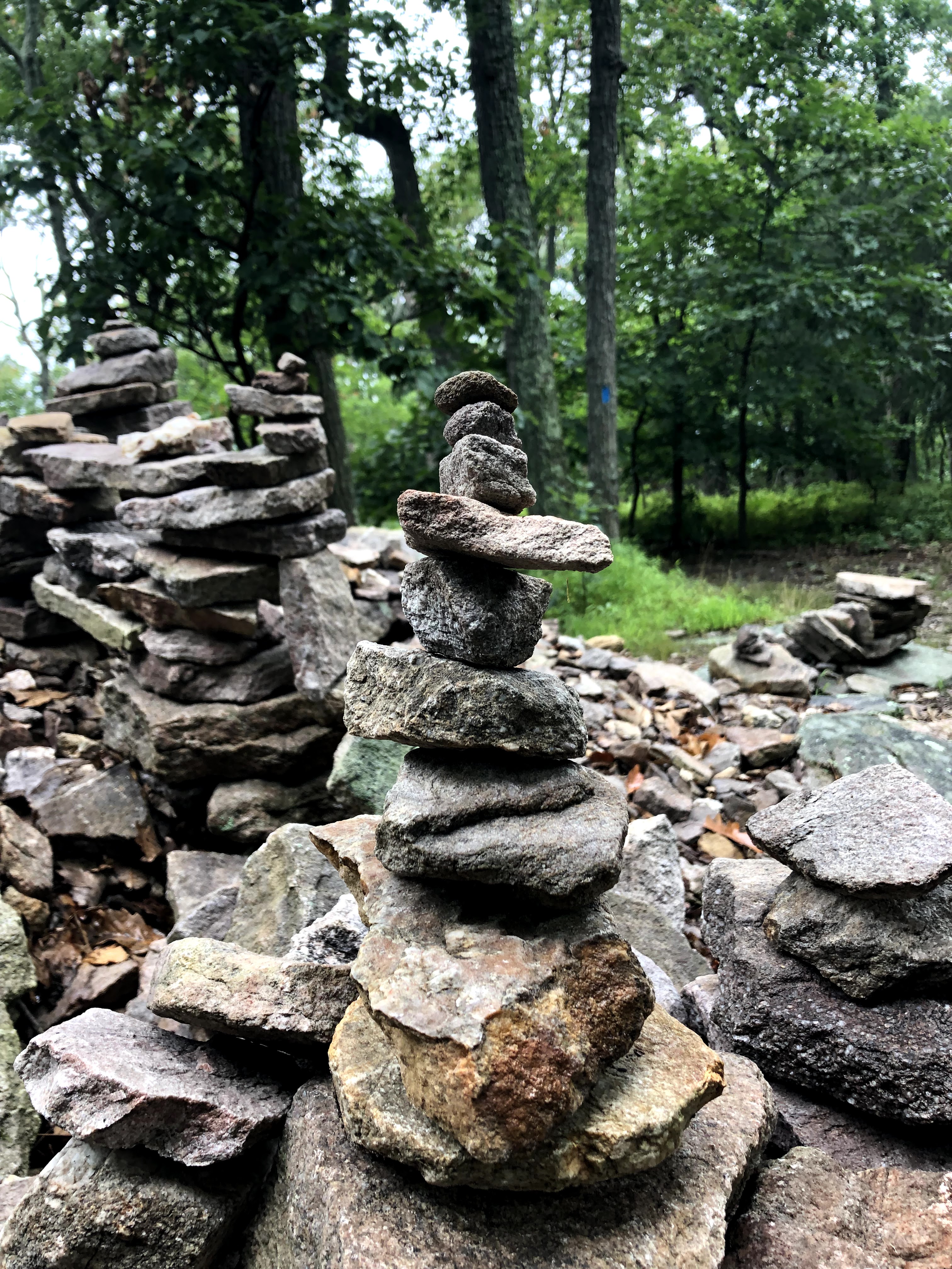
The blue trail is a nice little trail with some elevation change, but nothing too crazy. It was exactly the right trail for the two of us who aren’t sure we’ll be able to do much more hiking this year while Henry continues to heal. There wasn’t too much to see, outside of the general niceness of being back in a forest, and we didn’t see very much wildlife either. We did pass a pile of rocks where people had added their own cairns.
I think we were a little disappointed at how out of shape we felt, especially with completing less mileage than even on our very first AT hike. Earlier in the spring, when I was planning our AT hikes, I had assumed we’d be able to jump right back into hiking — 30-40 more pounds on our backs than in fall — with multi-day hikes. Definitely not! Whether we hike again this year or next or in our retirement, we are going to need to stay in shape over the winter and do lots of smaller hikes like this one. The posts about the AT will be much more sporadic, potentially with multi-year gaps, but I do hope eventually we’ll finish the whole trail. We’ll see if WordPress is around then.
Until then, I’m going to start adding more posts about education again, so be on the lookout for those!

Trail summary: Begin at Eastview Parking lot. Hike up Orange trail, turn left to join Red trail which turns into the Green trail. Follow Green trail to Westview Parking lot. Turn right to follow Blue trail for five miles. Take the road from Westview back to Eastview.
Total miles: 6.97
