Once upon a time, four wayward young adults ventured into the woods thinking they would find some kind of novel, old-timey fun in the backcountry. They planned to hike about 14 miles, but after Google had short-changed them multiple times before, they assumed it would be closer to 15. Our four intrepid explorers of nothing ventured into the woods in Pennsylvania, U.S.A., but somehow found themselves in the wet, boggy Dagobah System by the end without ever so much as getting on an x-wing.
But I’m getting ahead of myself. Where I left you in the last blog, Henry and I were wet, tired, and cold after walking 16 miles along the jagged PA ridge. We had to get back on that same ridge on this hike, though this time we had company — absolutely invaluable if you are going to attempt this trail. Unlike last weekend’s though, where there was a steep ascent from the railroad tracks, this incline was fairly gentle, with all the elevation gained over about four or five miles (not 1.5).
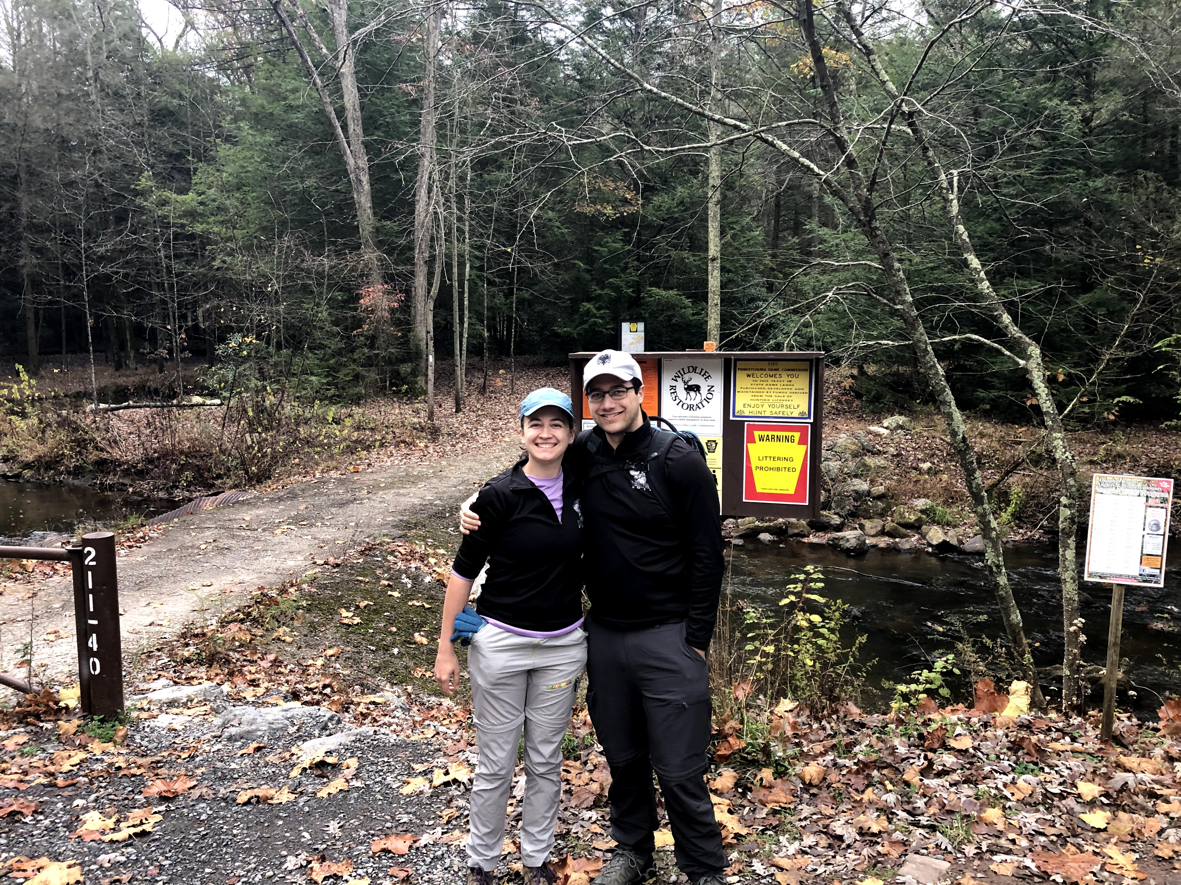
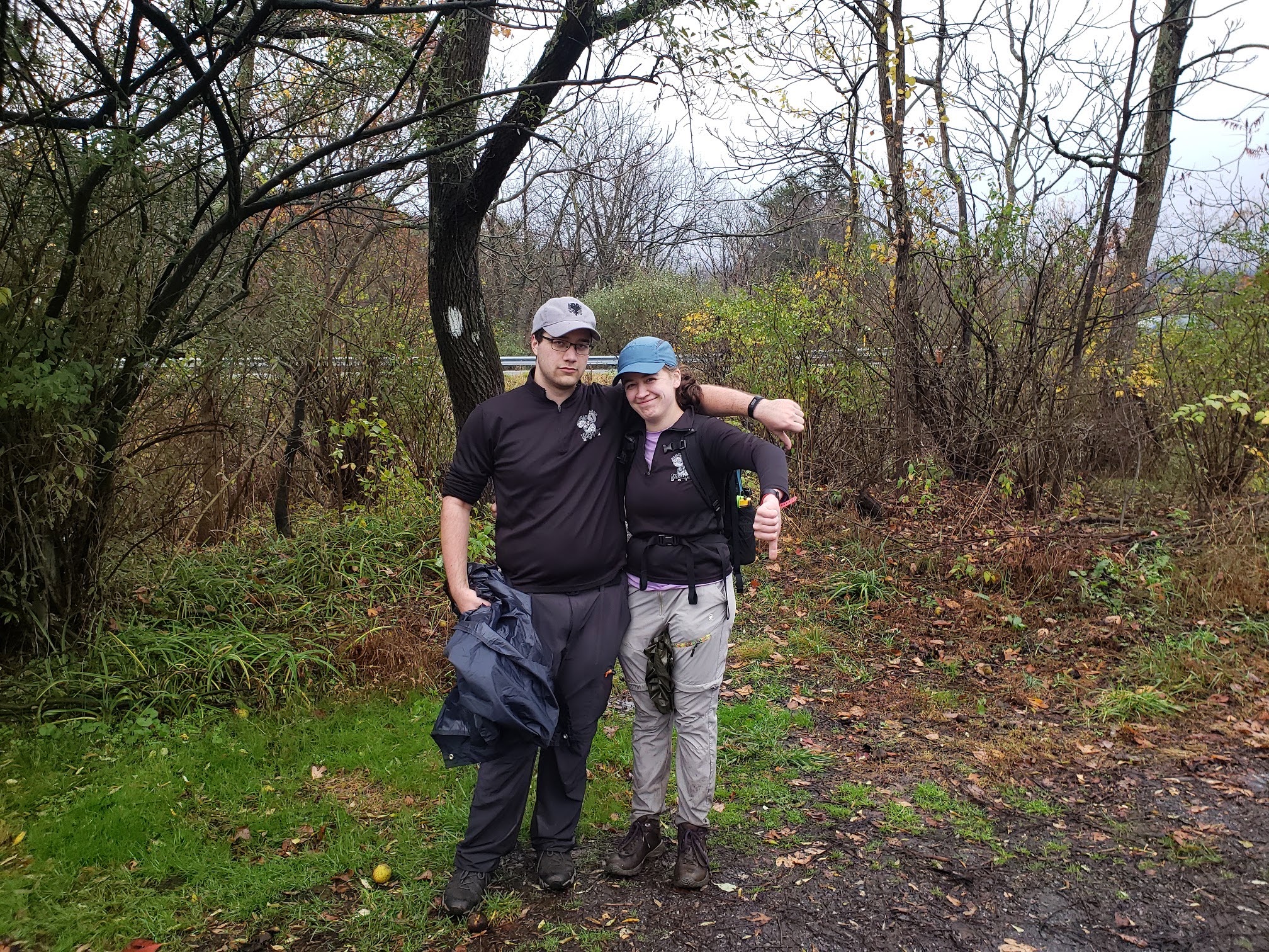
I was very cold. In fact, there are so few pictures in this blog because I had my gloves on for most of the time. Some of the pictures have been contributed by our friends or by Henry, but most of the trail you’ll just have to imagine. The fall colors felt pretty much over on the climb up. Instead of pretty gold, orange, or red leaves, we passed bare trees standing between green-covered boulders.

I don’t recommend hiking in Pennsylvania this late in the year. The leaves are wet and the hiking over rocks is just precarious. Add onto that the wind chill that you can experience up on those ridges, it’s just not enjoyable. When we did reach our highest elevation, the wind whipped around our ears. I walked with mittens on and my hands held under my armpits; Henry kept his hands in his pockets. It was fairly flat, a welcome change, and we could see our breath. Around mile six or seven, we started going downhill and at about the time the rhododendron started to line the trail again you could feel the temperature change for the better. The mittens came off, and we became much more comfortable.
And then it started to rain. Unlike the light sprinkling of rain we got for 13 miles last time, this time the rain came down in real droplets. Remembering the advice I got from a blog about putting on rain gear before you get wet, I asked Henry if we should get our glorious ponchos out again. He suggested waiting a minute, but after thirty seconds decided it was best to put them on. We were glad we did, and the rain did not stop again for hours. This was actually our first time eating lunch in the rain, under the trees and on top of two large boulders. Aren’t we a merry bunch?

After lunch we trudged on in the rain for a few more miles. We came down off of the ridge we had been walking on and started making for Rausch Creek. Rausch Gap Shelter is a place with a history; it’s a mining ghost town with old house foundations and a cemetery. There is a shelter that we did not see, but found the trail for if we had wanted to stay the night. Rausch Creek was way more important to us.
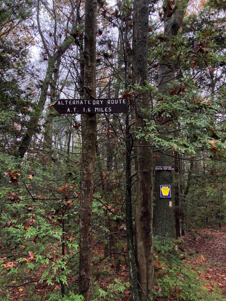
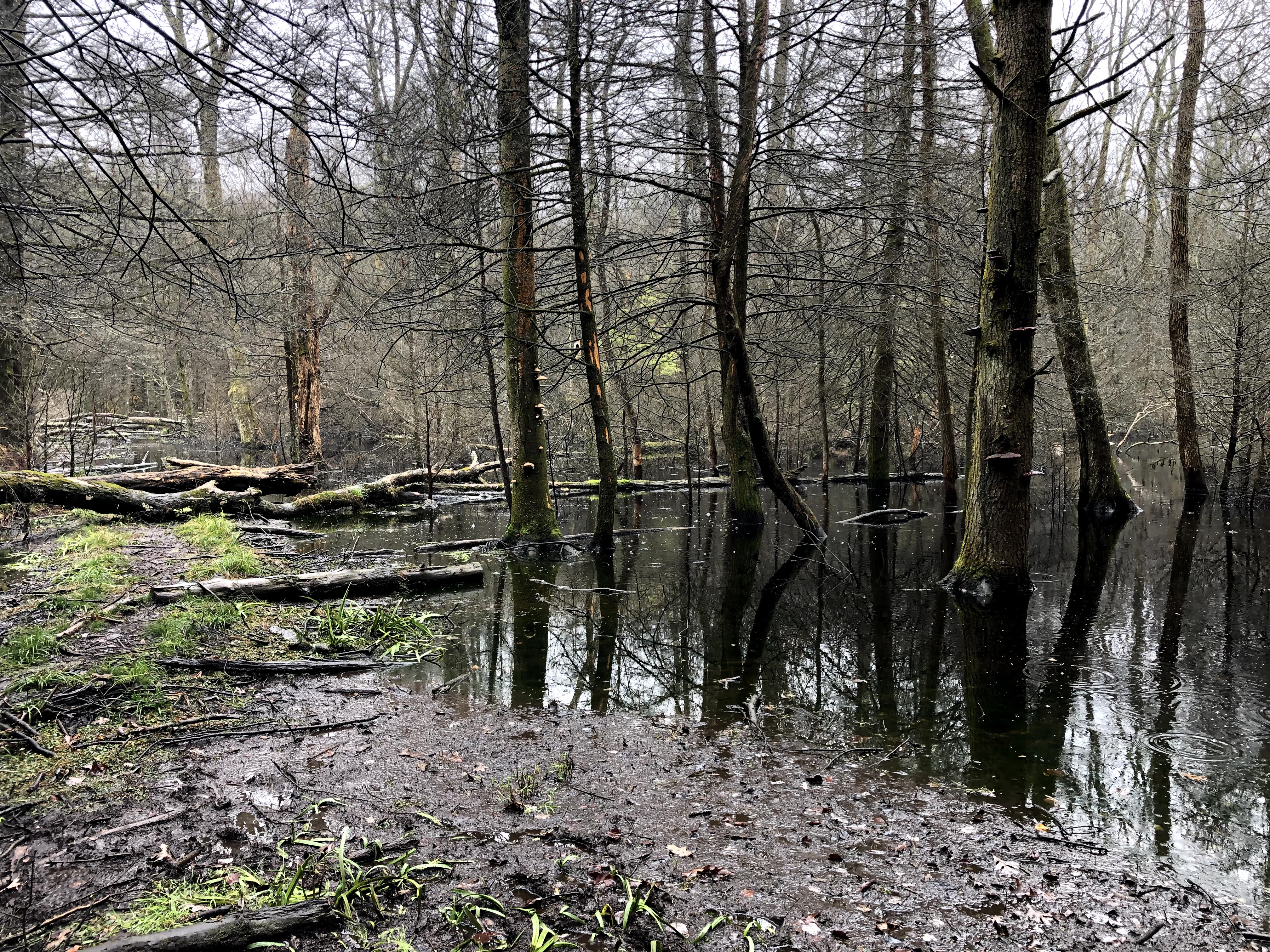
If we had done any kind of preparation at all, we would have known what was coming. I would have known what an “Alternative Dry Route” was, and Henry would likely have not said, “Let’s go, I’m no quitter.” For we came to a fork where one trail wound down a road and hooked up with the AT after about 1.6 miles, shown in the picture. The other said “Beaver Dam Crossing.” Again, if I had looked online, I would have seen people say things like “Beaver Dam washed out” and “Beaver Dam impassable” and “Take the dry route!” But we didn’t. Instead, in my head thinking this was the cute name of a bridge, we found this a little way down the trail.
And way, way down, a blaze on the other side of the “creek.” On the dry side, this waterway looked as mighty as the Susquehanna. The bravest among us, Eliot, stepped first. And immediately sank up to his ankle. The squish of the mud with each step made my squirm. But then my turn came, and Henry after me.


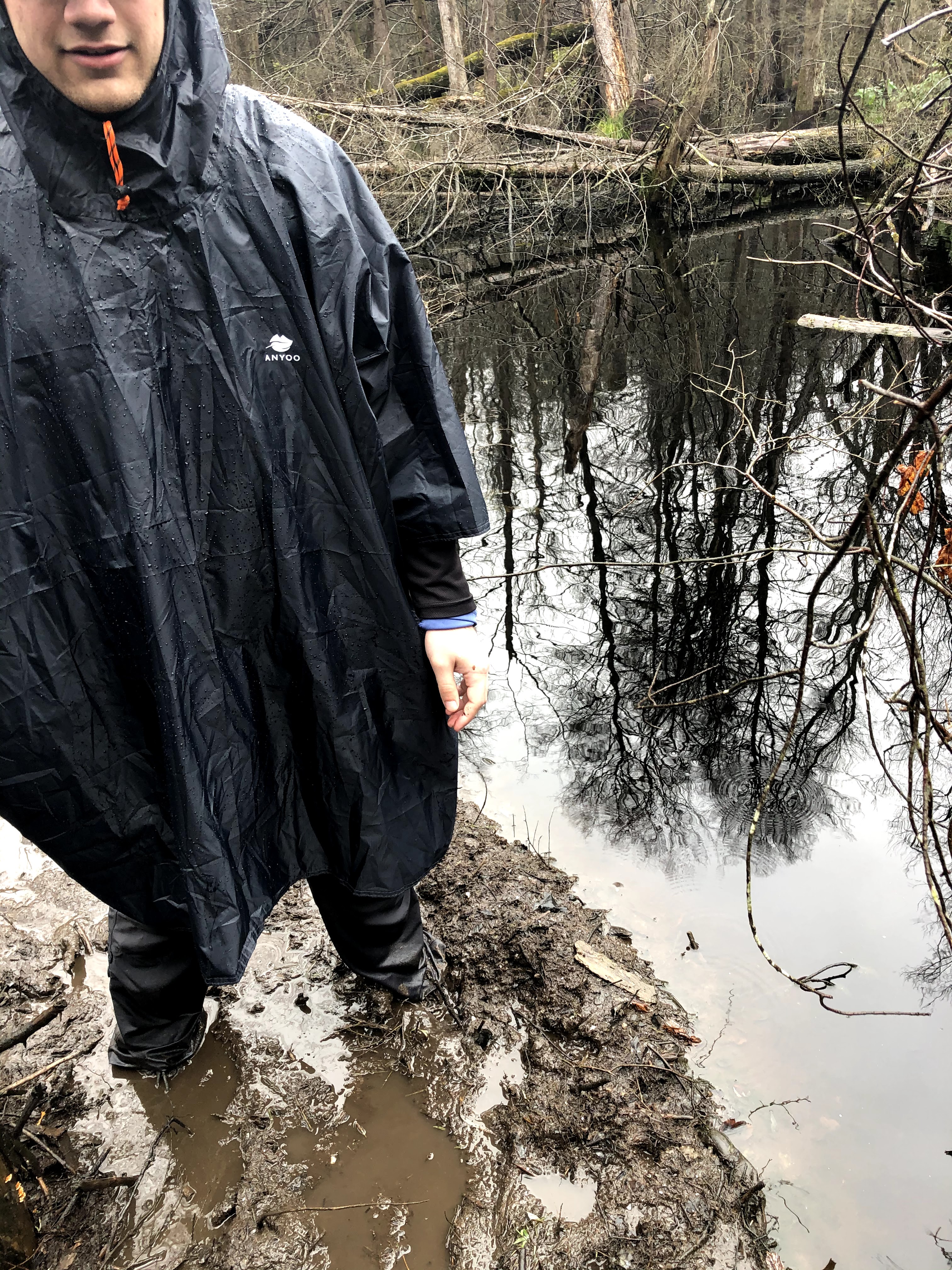
I tried to navigate as best I could, finding places where sticks and logs were resting on top of the water, saving my calves as much as possible from being covered in (I have since learned) polluted mud from an acid spill. At a point though, I just gave up, and wanted to get across as quickly as possible. About 3/4 of the way across, I realized it had stopped raining.
Once all the way across, I toyed with the idea of taking off my boots to drain out the water. As soon as I sat down on a log though, I changed my mind. They were absolutely covered with green sludge. It would be better just to walk with squishy shoes, earn the blisters, and go home to dry socks. It would have been a pain to put wet boots right back on anyway. Oh, and it started raining again.
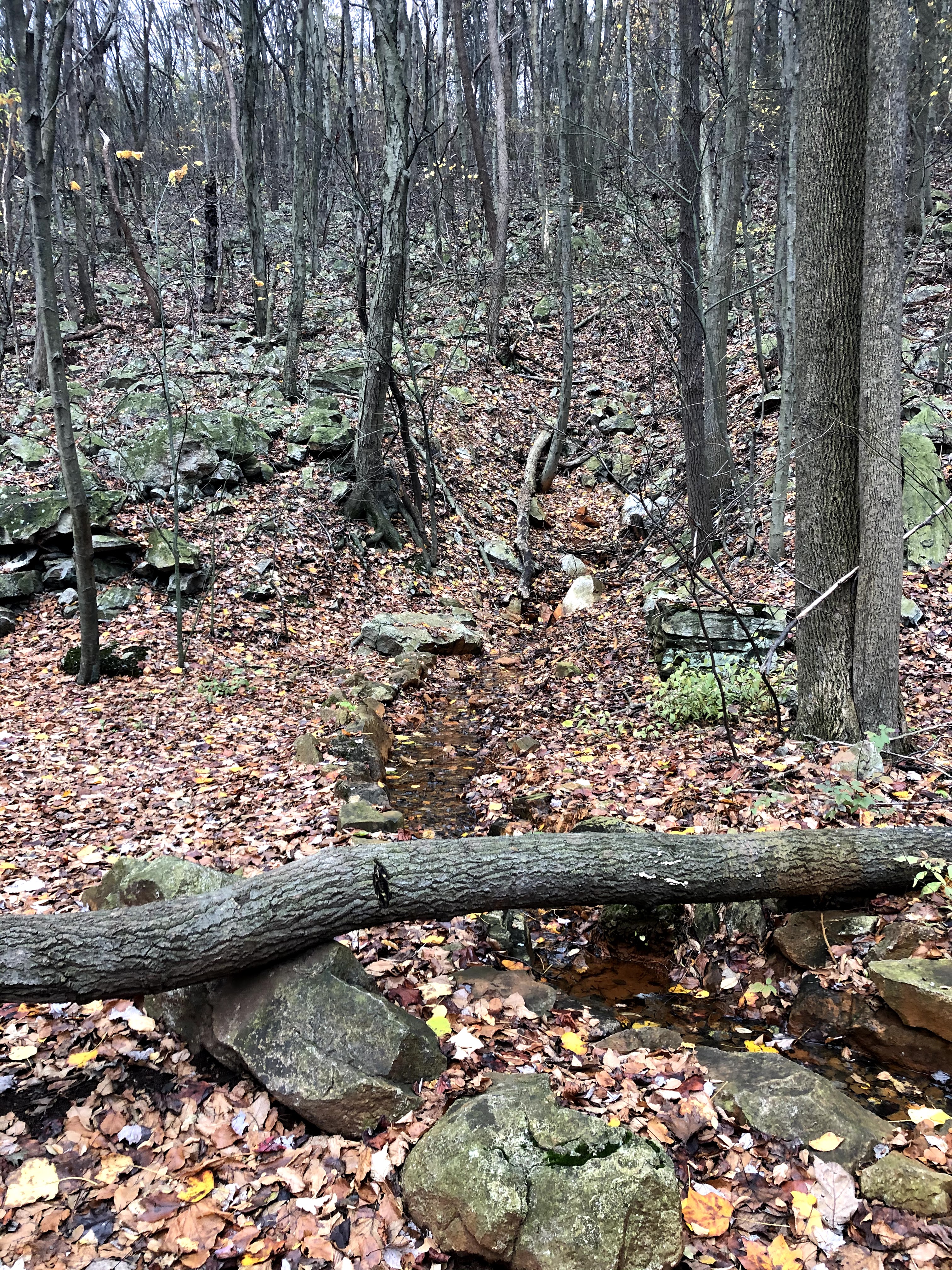
The rest of the hike was a just a steep climb up a new ridge and then down towards the car. I asked Eliot about every quarter mile how much further we had to go. He did his best to keep our spirits up and told us about “type two” fun; fun you only have after the activity is done with. This was certainly “type two” fun if it was any fun at all. On top of the second ridge, we were surrounded by an eerie fog and could not see very far through the trees. My poncho caught on prickly bushes. My feet were starting to blister, I was getting cold again, and I had drunk all my water and did not want to mess with the extra water bladder with only a mile or so left to go.
Finally, the trees broke and we came upon a grassy field. The field only took a few minutes to cross and then get to Eliot’s car, where Henry and I tried to make as little mess as possible. A 25-minute drive took us back to the start, where we were finally able to peel off our boots and soaking socks, put on new socks that we had in the car, and drive home. We stopped at a Sheetz for hot drinks and mozzarella sticks.
And that’s the last of the blogs for the year about A Mask in the Woods. We plan to pick back up at this exact place next year, sometime in late April. This winter we will gather equipment so that we can actually get to the business of backpacking the trail. I’d say one summer and completing 7% of the Appalachian Trail is not too bad, and I’m very glad that we started this project. I hope you all stick around through the winter as I turn my attention to other subjects, including education, criminal justice, democracy, and, of course, backpacking preparation.
| Miles Completed | 161.4 |
| Miles to Go | 2082.6 |
| Percentage Complete | 7.4% |
