Four years ago today I visited a city in Germany called Marburg. I spent a sunny day visiting the old college, walking cobblestone streets, riding trains, and eating tortellini (I know, so German). Marburg was the college home of the Brothers Grimm and is split between Upper Marburg and Lower Marburg. Kindly, the town erected an elevator for visitors to easily navigate between the lower time and Oberstadt (Old Town). Four years later, the Appalachian Trail just south of the Pennsylvania border was not so kind.
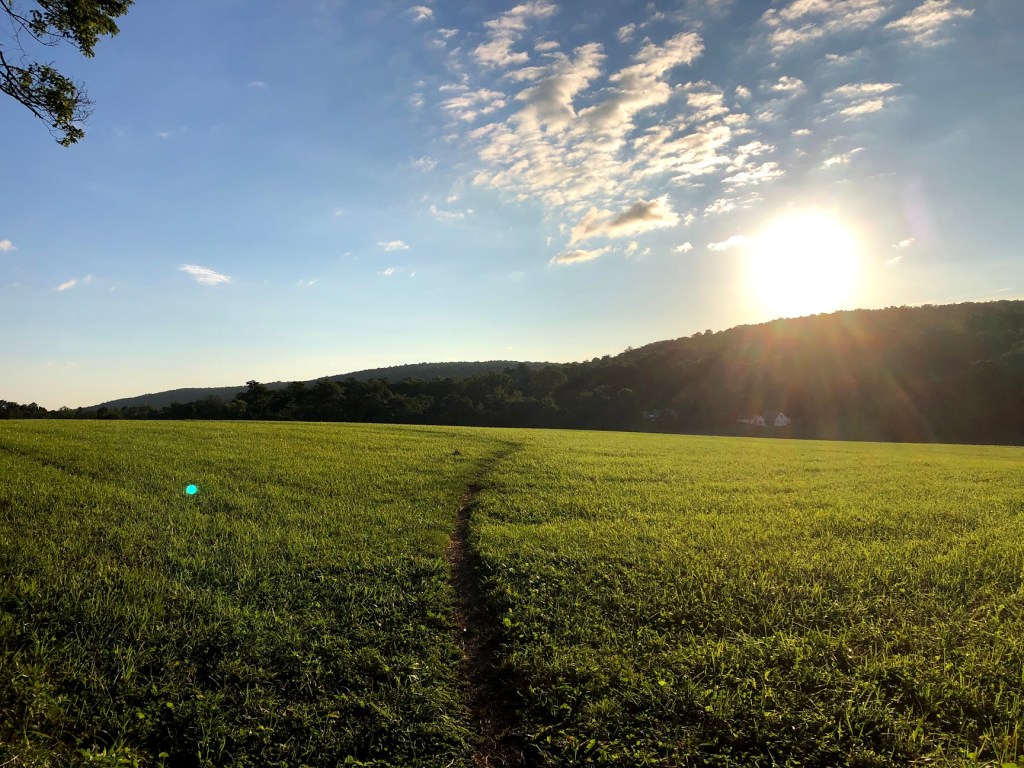
Before I get into the complaining about how steep one particular hill was or how many rocks there were (both of which I will most certainly do), this was my favorite stretch of trail so far. Starting at Wolfsville Road, it’s not long before you’re out of the woods and crossing stretches of fields. First, you pass under power lines, but then trail spills onto fields that are only missing sheep. On the same trip I mentioned in the first paragraph, I also spent some time hiking around England, and a lot of the places I backpacked looked just like these smalls farms. It was just barely 7 a.m. so the cool air wasn’t even seventy degrees yet. There was a breeze even once we were back in the woods that was pleasantly blowing our entire trip.

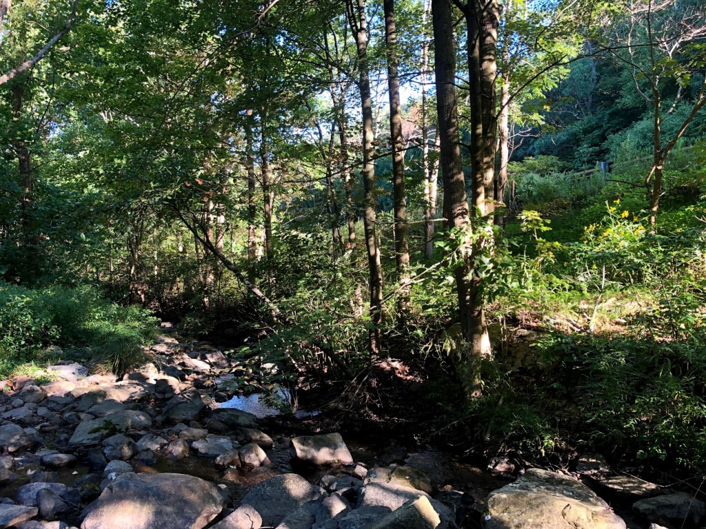
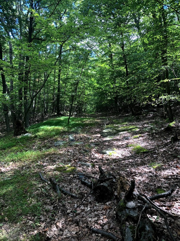
Right between the fields, you cross Foxville Road and then spend a lot of time in the woods again until you get to the much smaller Warner Gap Road. The woods were cool and dark with lots of light green lichen growing on the rocks pushing up through the ground. Thick, velvety moss was less common, this was more like a light green forest coral growing on the rocks and fallen trees. The bushes grew thick to the trail so that only one person could walk at a time.
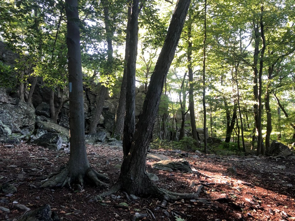
Once you pass Raven Rock Road, Jacob’s Ladder descends from heaven and you have to climb it. Well, almost. About four miles from our starting point, the trail goes straight up via large stone steps, all covered with lichen. Henry and I switch our backpack every two miles, he takes the first two, I take 2-4, he takes it 4-6 and so on. As we start heading up the steps, Henry calls out, “Now, I don’t want to point any fingers. But it seems to me like whenever Maggie has the backpack, we go downhill. But as soon as HENRY takes the backpack, we start going uphill! And, again, I’m not naming names, but a certain someone did plan the starting and stopping points…”
“Hey, I’ll start with it next time,” I called back between heavy breaths.
“No, you’re probably just setting me up. This was all planned.” Then the steps became too steep, and we had to stop talking.
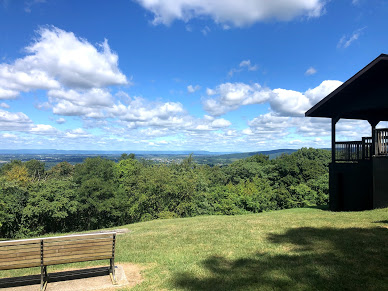
We crested the hill and approached a lookout point called High Rock. We actually did not stop to see it because a.) there were lots of tourists around and we’re super serious hikers, b.) we’ve seen lots of pretty vistas at this point, and c.) we were tired and wanted to stick to the trail. That didn’t mean we didn’t see some interesting…art. High Rock is apparently so popular that the local rabble will come out with spray cans. They’re particularly fond with a certain part of male anatomy and named a few rocks and trees after said anatomy. Lots of Google Reviews said they found this upsetting and that it “took away from the scenery.”
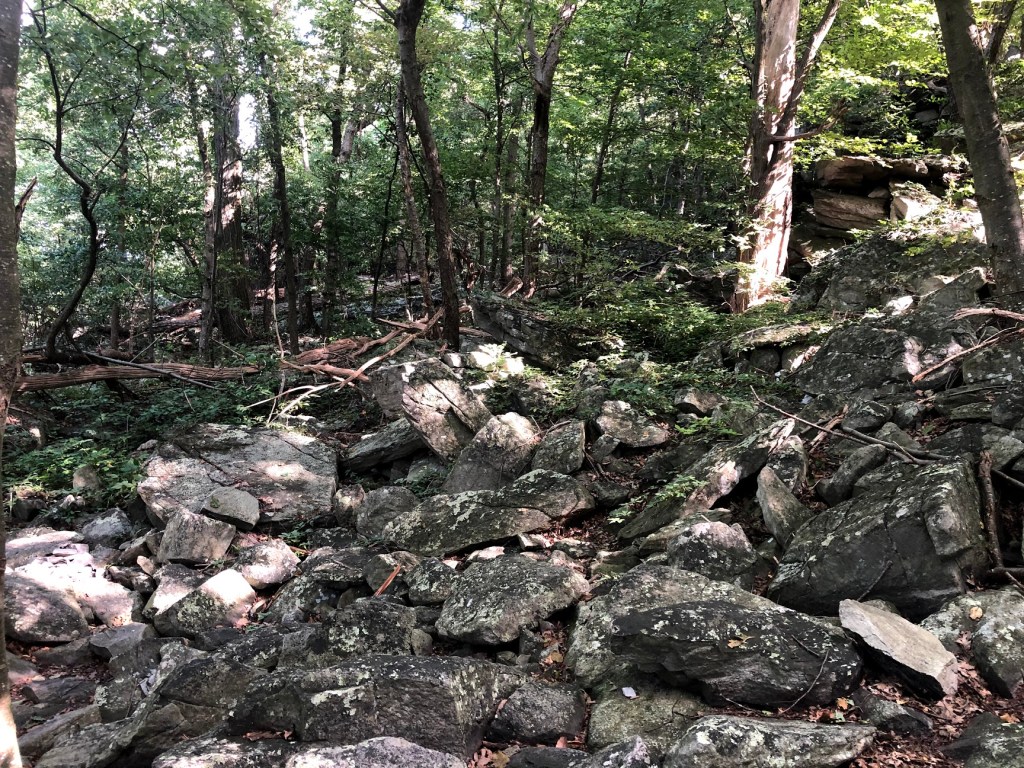
Now, coming down from the hill around High Rock is a job and a half. The trail looks like it curves to the left but it doesn’t – it goes straight over some rocks and then over to the right. Generally, the Maryland AT group has been pretty good about putting up white blazes where they need to go, but coming down from High Rock for about 200 yards it’s hard to see one. We got lost for about a minute and a half before finding a blaze off to the right. After that, the “trail” is very well-marked, but it is nothing like a trail I’ve ever seen anywhere else. Just like last weekend, it was navigating between loose and sturdy rocks while hoping your foot doesn’t really slip on the lichen (because it’s going to slip a little).

At the very bottom of a hill full of these rocks we passed a small group, one of whom asked, “Are we close to High Rock?” We were probably over a mile away, but we didn’t have the heart to tell them just how far.
“Ummm,” I said.
“It’s up there!” Henry tried to sound a little more upbeat than me.
And really that was the rest of the trail — rocks, either going uphill or downhill. We passed many, many more dayhikers on this stretch of trail than anywhere else so far because of how popular High Rock and then the Pen Mar Park seem to be. Eventually the trail does go back to more dirt than rocks, but these are not places for the faint of ankle.
The AT spills into Pen Mar Park which has a playground, several pavilions, and not one set of bathrooms (that I could see). They did have this sign though:

When I sent this to my dad, he said, “You should go to Georgia; it’s shorter.”
Thanks, Dad.


| Miles Completed | 42.7 |
| Miles to Go | 2147.3 |
| Percentage Complete | 1.9% |

Great hike! I did this in 2017 as part of the Maryland Challenge. We started at Pen Mar at 4:00am so most of this section was done in the dark for me …
https://bithiker.wordpress.com/2018/05/30/marylands-appalachian-trail-1-day-41-miles-5288-feet/
Thank you for your post!
LikeLike