The adventures of parking alongside dirt roads continues! Thankfully, I’m seeing this more and more that at trail crossings, people will often pull their cars into shoulders or onto grass if the road isn’t very busy. Both Swamp Road, our starting point, and Means Hollow Road, the end, were dirt roads in the middle of nowhere.


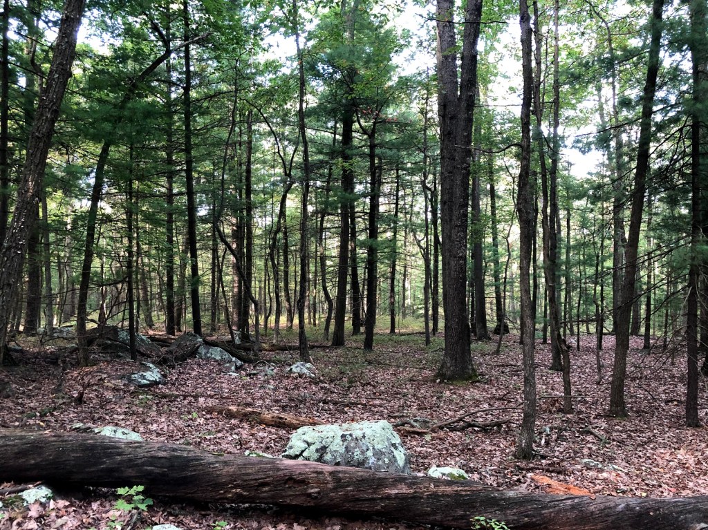
Moving north from Swamp Road, we immediately crossed PA 233, Rocky Mountain Road. This is where the maps and trail guides say to park, but at the time we went the spaces did not exist anymore. And honestly, the first five miles or so of this hike were fairly ordinary. The weather was the most beautiful we’ve had, almost chilly enough in the morning to warrant jackets but not quite. There were very few spiders out and about and the bugs mostly stayed away. But now that we’re a whopping 3% done with the trail, a lot of paths of trees, rocks, and dirt is starting to run together. That’s not to say it isn’t all lovely, because it is. In several places you could look so far down the path to where it would bend that you needed a second to stop and take it all in. But lots of the AT is like this.
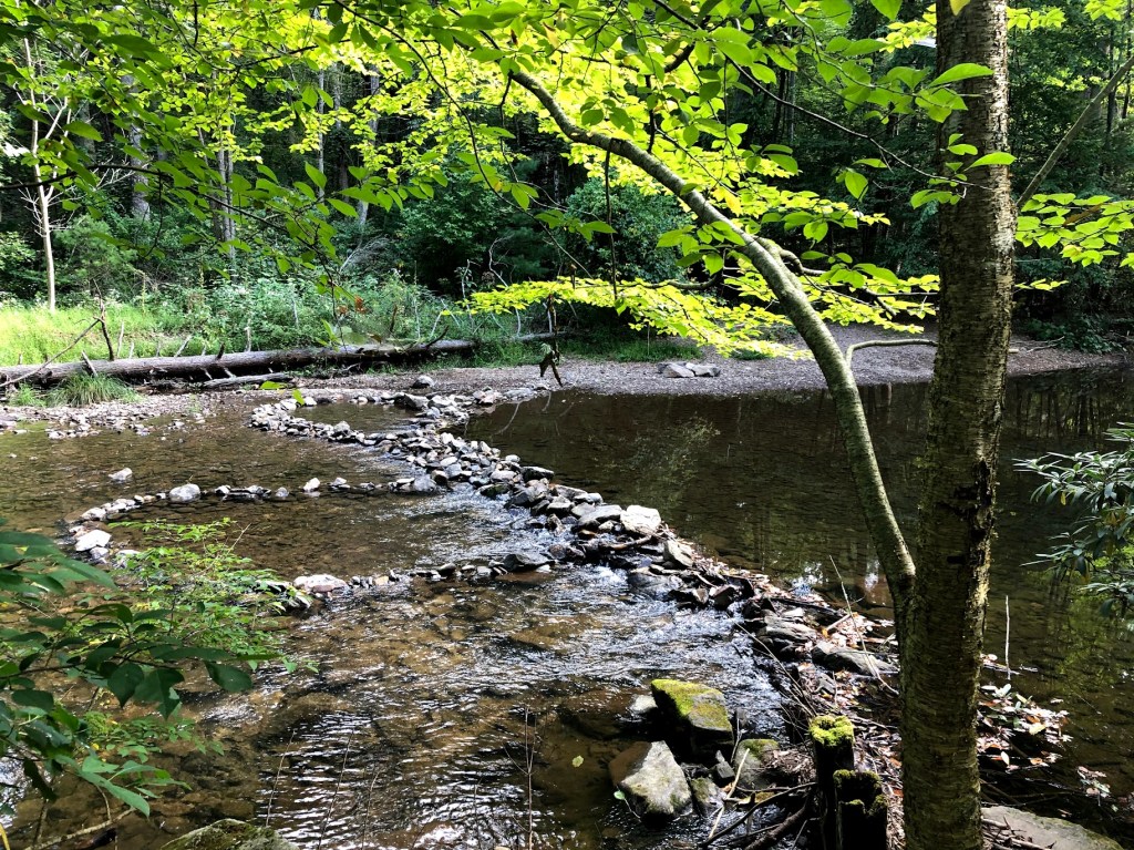
It’s right before Caledonia State Park that things get a little more visually interesting. You have to cross the Lincoln Highway (which is a fast moving road that requires some strategizing before crossing) and then there’s a short jaunt past Conococheague Creek (so easy to pronounce, right?). The path narrows and there’s a small place where if your left foot slides, you could be taking a tumble right into the water. As we stepped gingerly, I said, “You know, I know I shouldn’t be saying this, but I don’t feel like I’ve really worked hard yet.” Reader, I should not have said this.


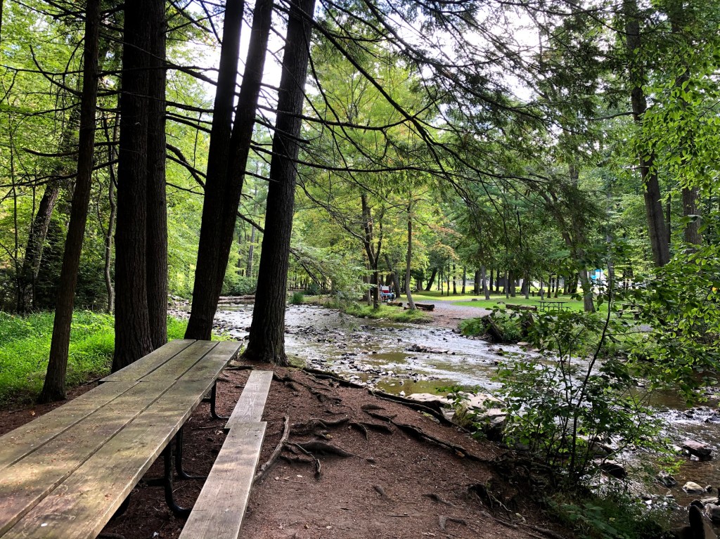
Caledonia State Park is a lovely place to stop for a halfway there snack. Like last week, we found picnic tables and this time were treated to indoor plumbing! The AT restrooms have signs that say “no dishwashing in the sinks.” There were several families out having picnics and get togethers. We did get a few looks for wearing our masks when we passed people but no comments.
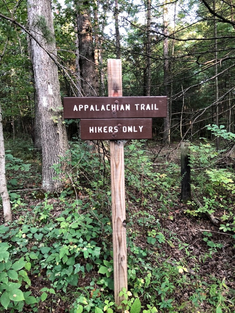
We packed up our lunch and navigated towards the white blazes. It’s important here to be mindful of where the markers are; you might have to check around a few bends to see where the trail actually goes. It takes on a gravel path for a bit, and then suddenly, you’re met with this sign.
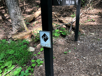
Sweet Jesus. Suddenly my decision to forego my sandwich and only eat a few pieces of beef jerky (hey, it worked for the first hike) seemed foolhardy. As I looked up the hill, the trail seemed to stretch higher and higher. I could see blazes up in the trees so far away they were probably miles of trail ahead of us. I couldn’t see the sky through the trees at the top, which meant it was not really the top and that there were more trees beyond it.
Oh, and it was my turn to carry the pack.
Last week I told you all about how going uphill is my preference. In general, this is true. But I hate steps. Steps on the AT are meant to keep you from slipping, they keep you upright, and they help prevent erosion. But when you are climbing uphill and have to physically pick your legs up to get them over the stair instead of shuffle along like you’re a teenager being ordered to your bedroom, steps are just about the worst. Internally, I was mad at Henry for not having to huff and puff as much as I was. If someone had been close by, they might have thought I was in labor.
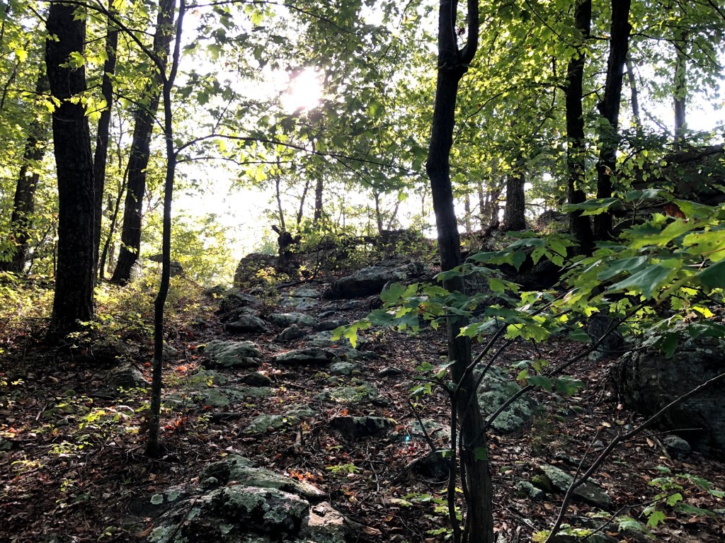
The sign wasn’t kidding. Every time I looked up towards the top of the hill I saw only more trees. Up and up and up and up we climbed. We passed hikers who forgot that you are meant to give way for people going uphill. I had to stop for a mid-mile water break, which has rarely happened. My legs felt like they had done lunges all the way up the hill.
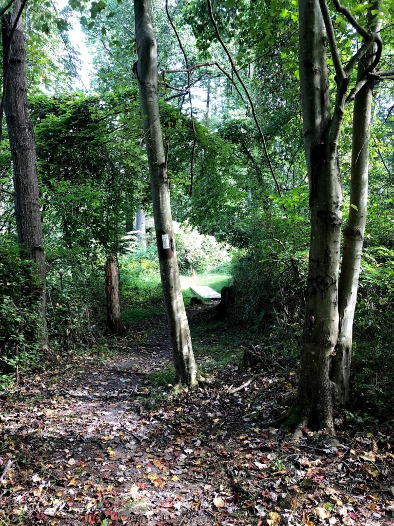
Finally, we reached the top and could see sky through the trees. The trail continued to slope upwards, but it was gentle and manageable. I could talk again. Then you glide down a little bit and cross Locust Gap Road. You have to walk a bit to the right (if you’re a Northbounder like us) down the road before you pick up the trail again.
After crossing Locust Gap Road we entered the weirdest patch of trail so far. You have to climb for a bit again and go around an ATV blocking gate (I almost believed the trail was closed), and then you enter a jungle. Actually it’s just rhododendron run amok, but it was so steamy and humid and the leaves were packed together so tightly, we could have been in the tropics. From this trail, you climb a very nice set of stone steps (small ones so I could shuffle freely) and you emerge onto Quarry Gap Shelter.

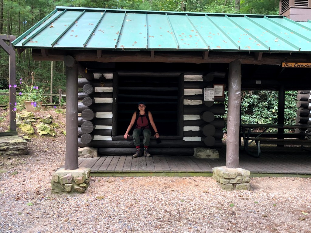

Quarry Gap Shelter is considered by many to be the nicest shelter on the Appalachian Trail. You can see in the pictures, there are stands for tents, a bear-proof box for food, hanging plants, an easy jaunt for water, and even a swing. We rested our bones on the swing for a bit and I spilled water all over my pants trying to refill from the water bladder. As you can see, I considered staying here.

But the trail beckoned and we were nearly done. Once you are through the jungle, you have to walk up Ridge Road toward the next blaze. Here the AT started to look like the AT again — back to rocks and dirt and trees. Cross an apparently unnamed road, and head back to the woods, cross Milesburn Road, head back into the woods, and finally reach the Means Hollow / Ridge Road intersection.
Long and tiring to be sure, but a good and much more interesting hike than I initially thought it was going to be! I highly recommend this as a day hike, if only to see the Quarry Gap Shelter.


| Miles Completed | 68.8 |
| Miles to Go | 2121.2 |
| Percentage Complete | 3.1% |
