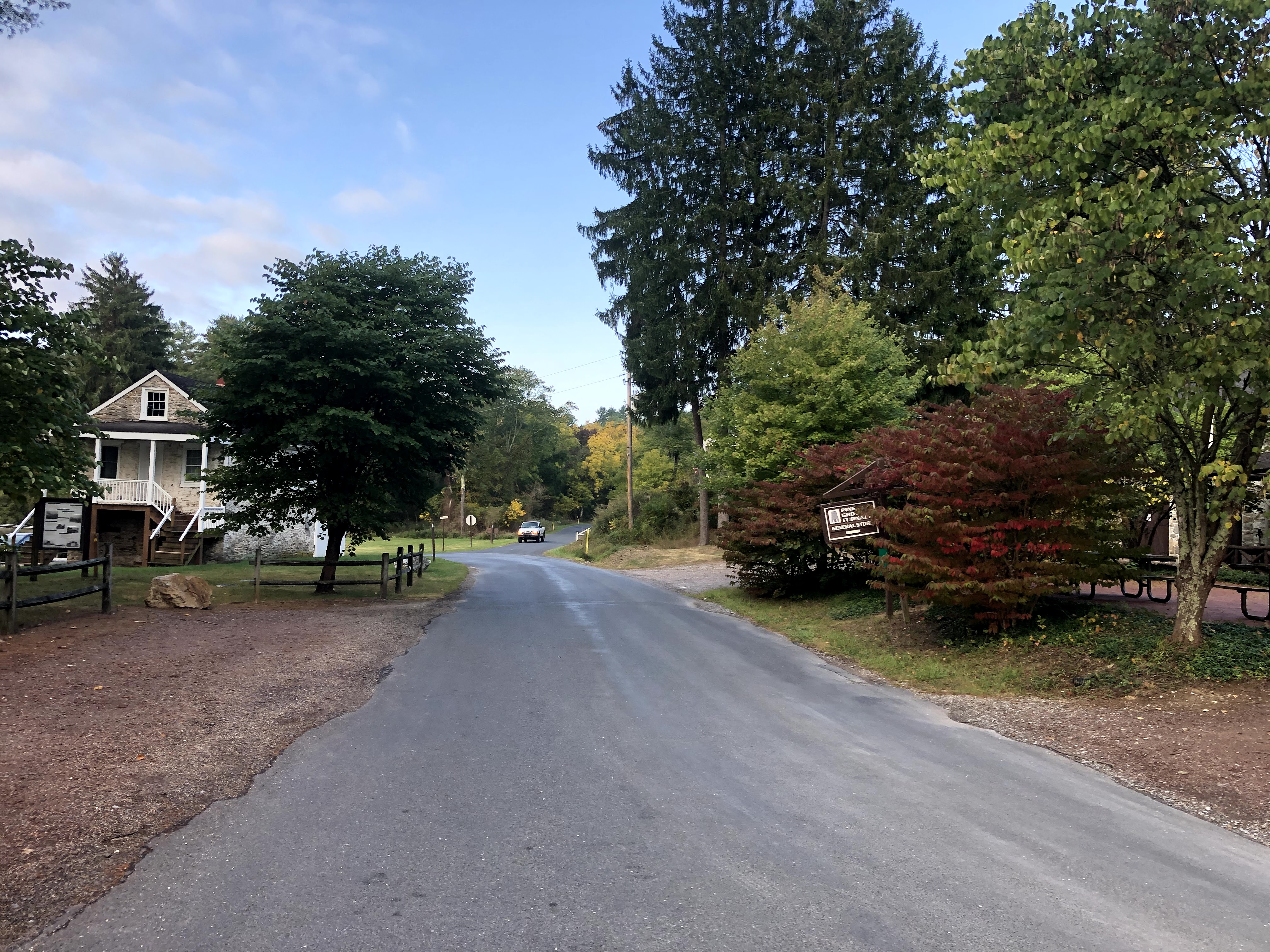
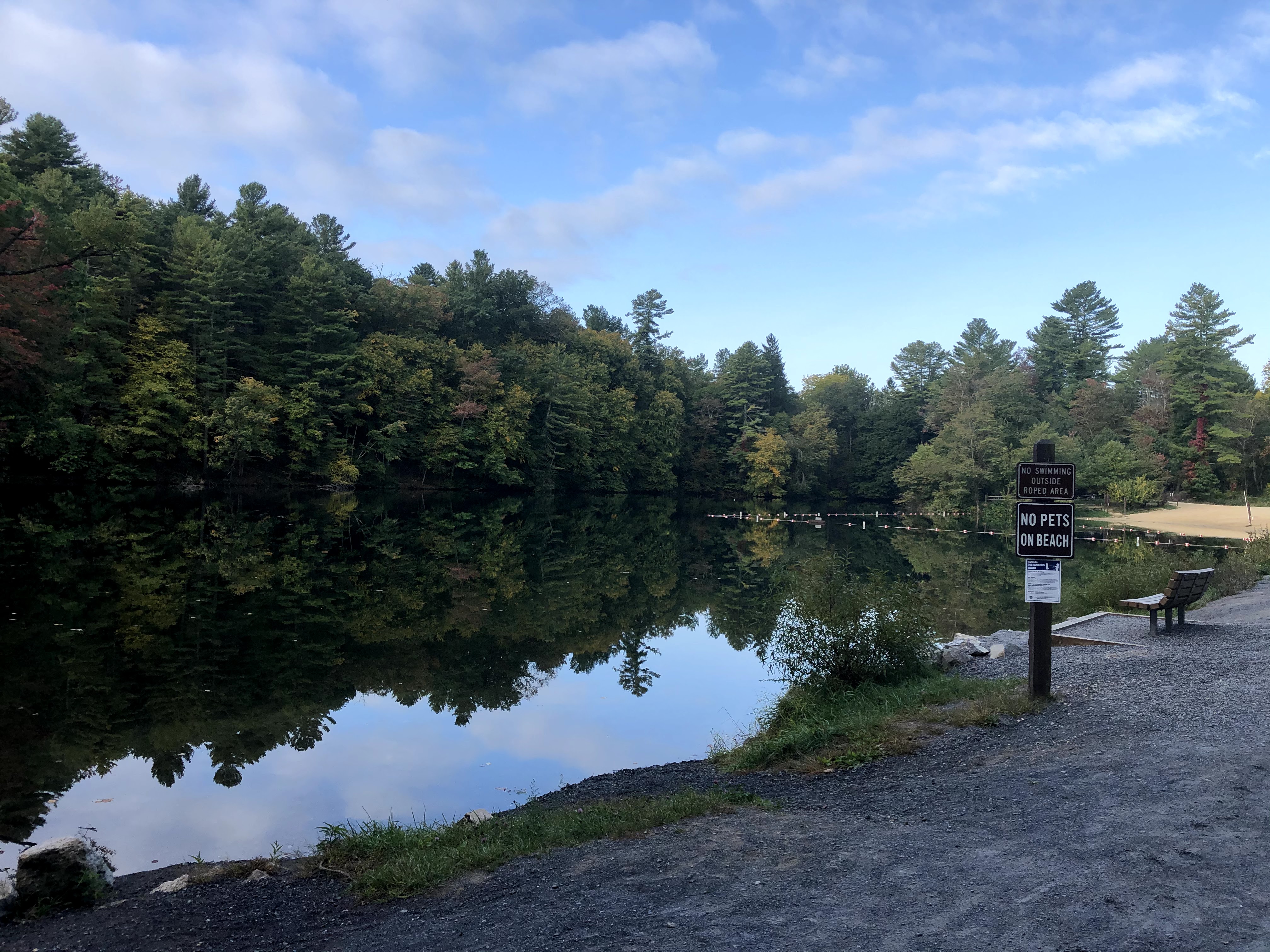
Sometimes on these hikes, the AT likes to tease us with a really easy start. Such was the start leaving Pine Grove Furnace General Store: a paved bike trail that took us past the Appalachian Trail Museum and down into the lower parking area (remember from last time: coordinate which parking area you will be using first!). Then we passed the lovely Fuller Lake that seemed to be a beach destination in warmer weather. Lastly, we walked along the Cumberland County Hiker/Biker Trail, which switched from pavement to gravel and then to dirt.

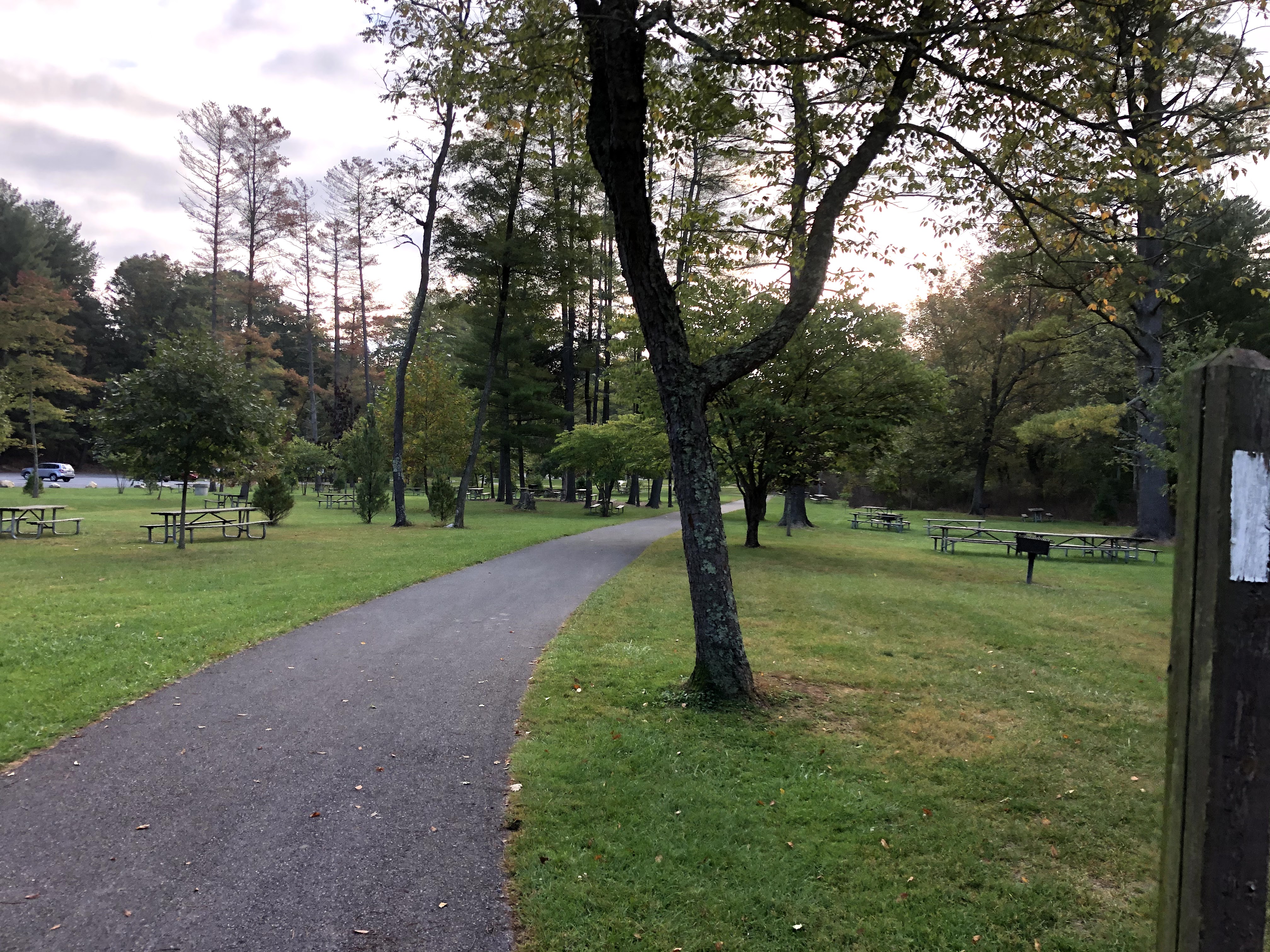
The first mile was easy: gentle terrain, shade, and wide paths. On either side of the trail was water – stagnant and bog-like in some places, running and babbling in others. Soon enough though, we started up the first of three climbs. It brought us to our highest elevation of the day: 1453 feet, but it was the easiest climb overall. For the next several miles, the trail was the trail: single-file in most places, rocky frequently, and shaded. I took my jacket off within the first couple miles.
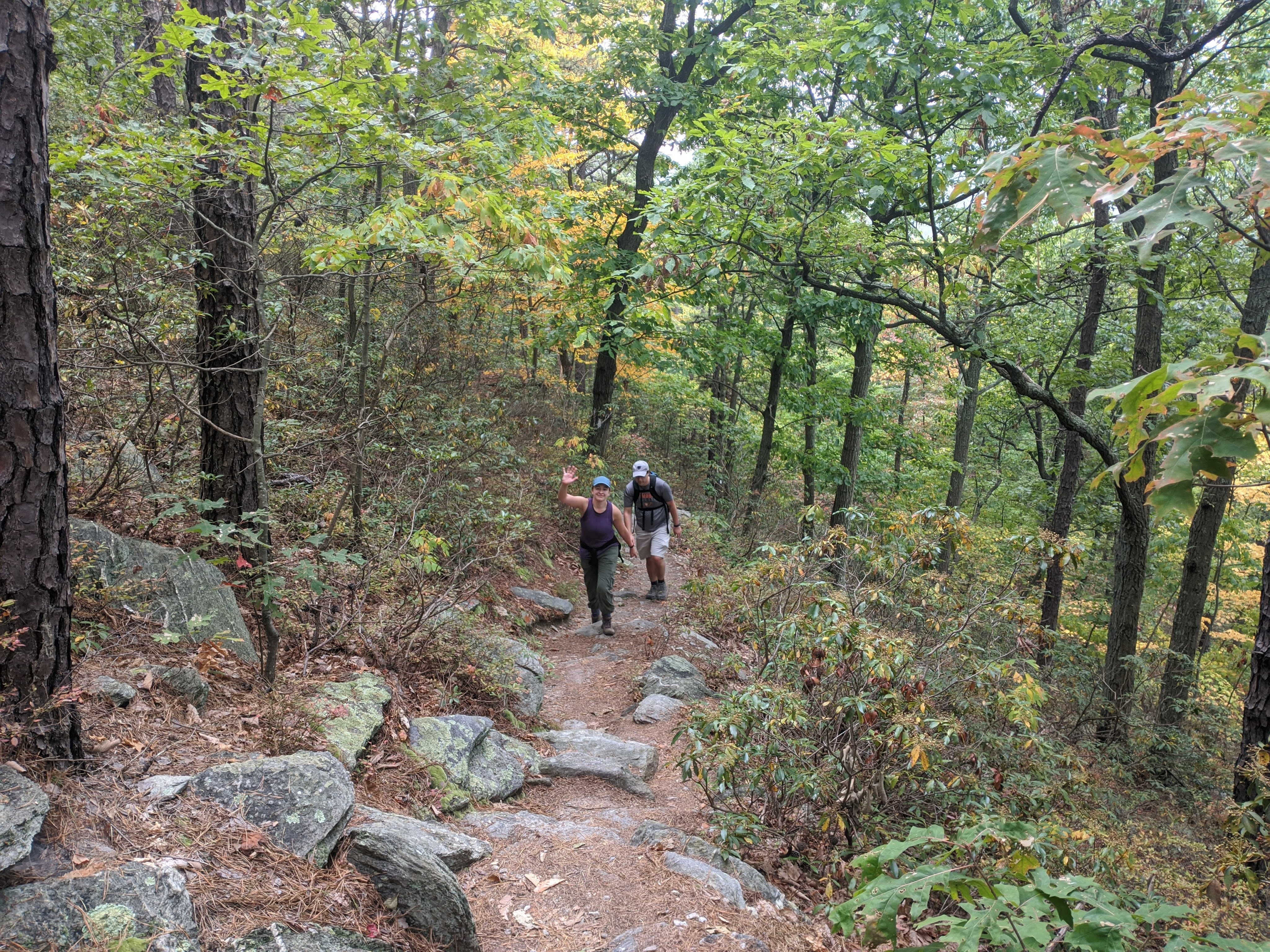
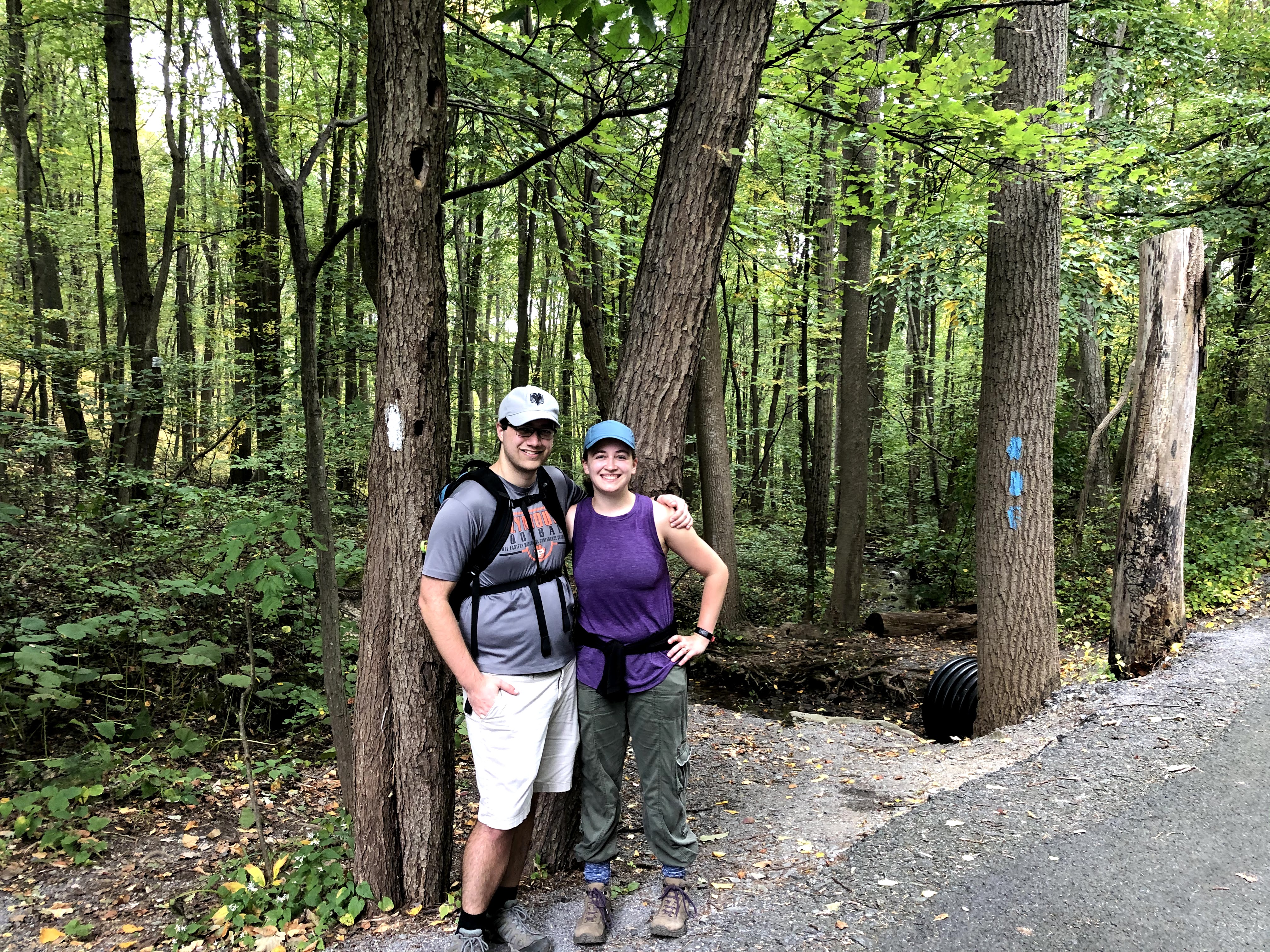
Eliot, Henry’s friend from college and fellow rocket scientist, has been leading us on the trails for the past several weekends, taking one for the team and battling all the spider webs. He takes it much better than I do. Eliot is also a seasoned backpacker and runner, and his pace is the reason we finish the trails so quickly. He’s responsible for all the candid action shots of Henry and me! Thanks so much, Eliot!
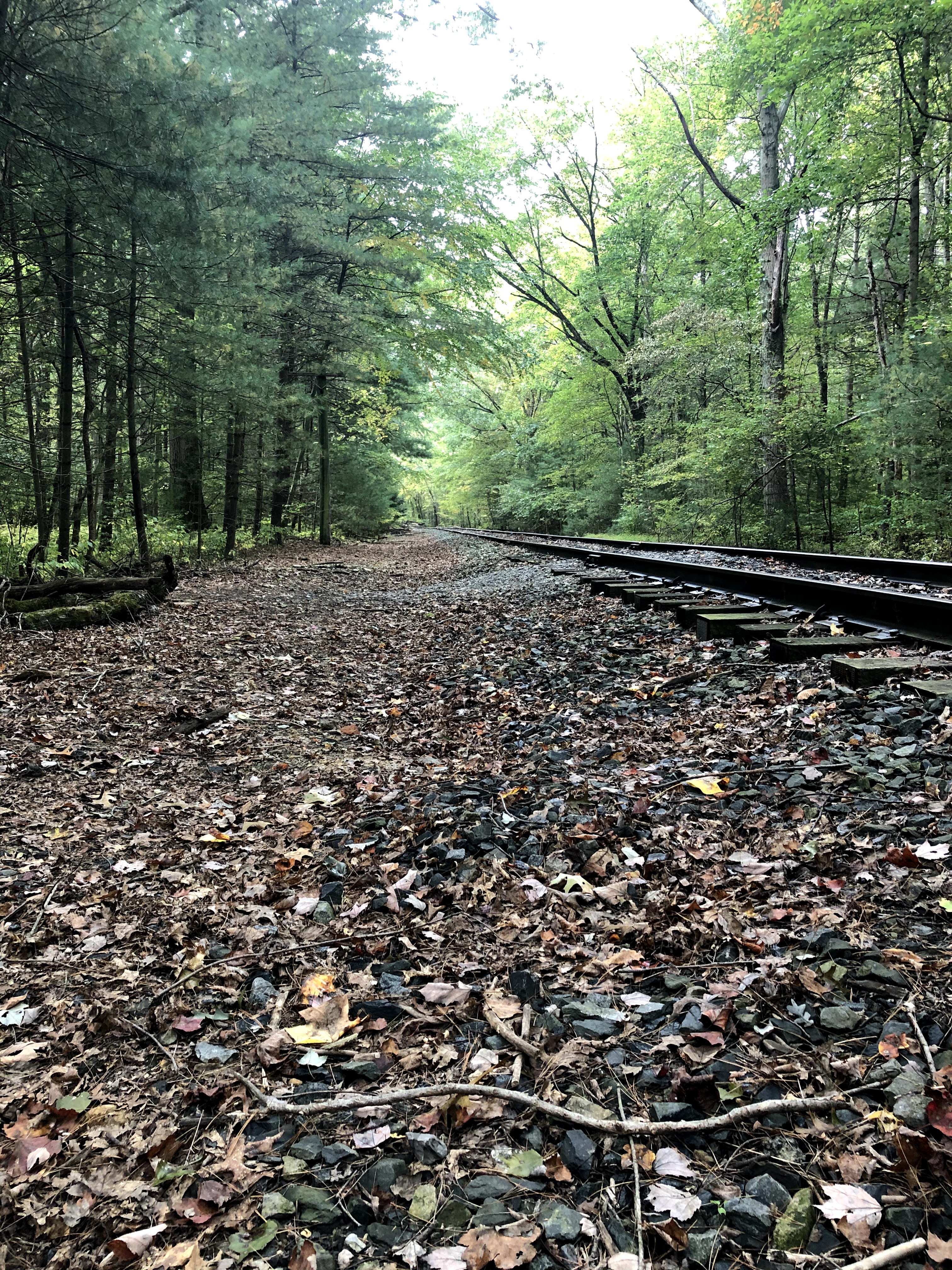
We stopped for lunch by some railroad tracks. At home, we realized late Saturday night we only had three pieces of bread (and normally we make four peanut butter and jelly sandwiches). So Henry and I split a sandwich and had some jerky.
After a short bit of walking more, out of nowhere, you can see an auto repair shop from the trail. It sits on Carlisle Road. And right here, the blazes are confusing. If you emerge going North on the trail, and you look right, it looks like the blaze is telling you to walk down the road to your right. That is not where the trail is. You need to cross the road and go left, at which point you’ll see Appalachian Trail Road and a little further down, the AT. Be careful here!
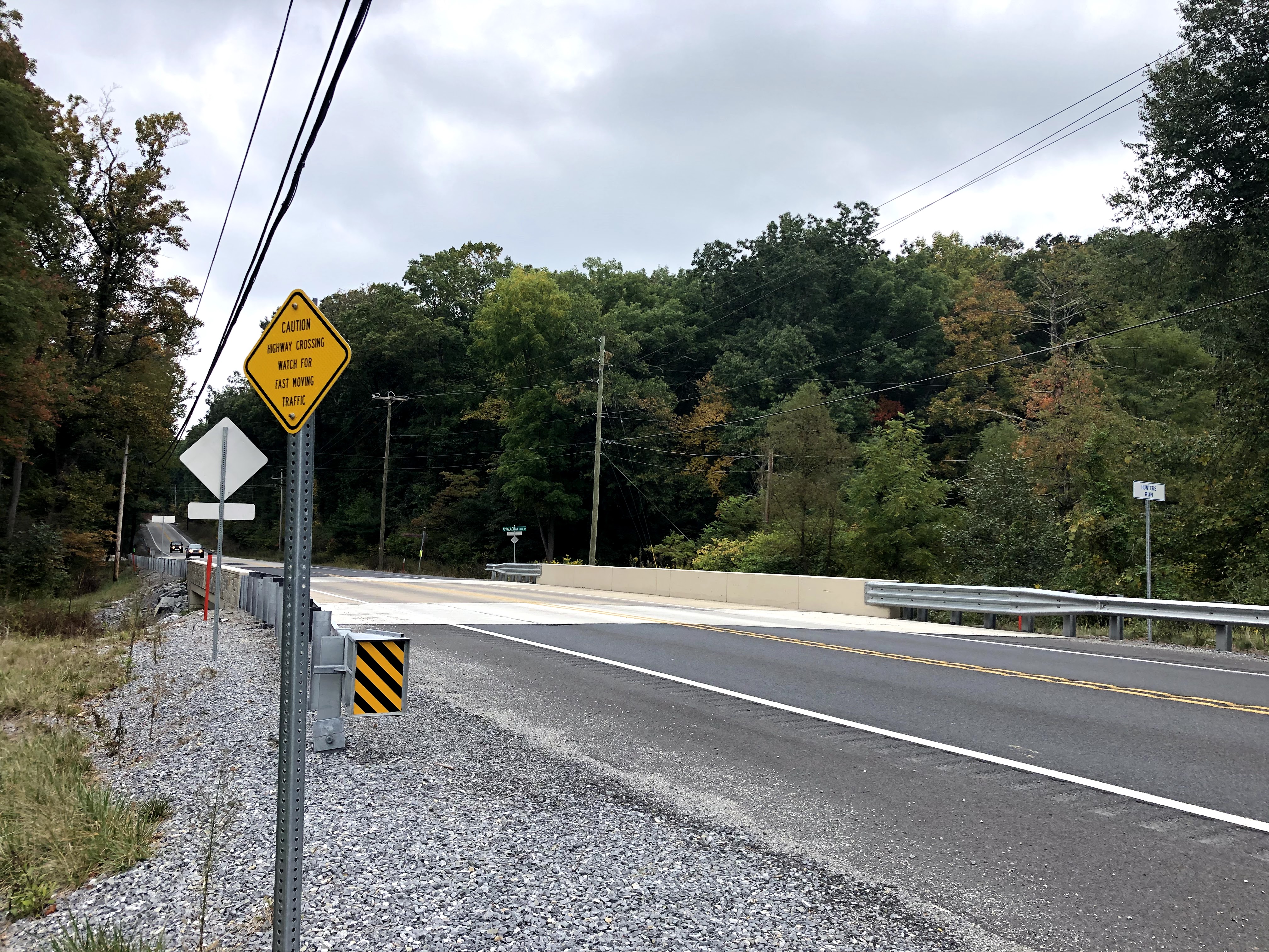
Go this way 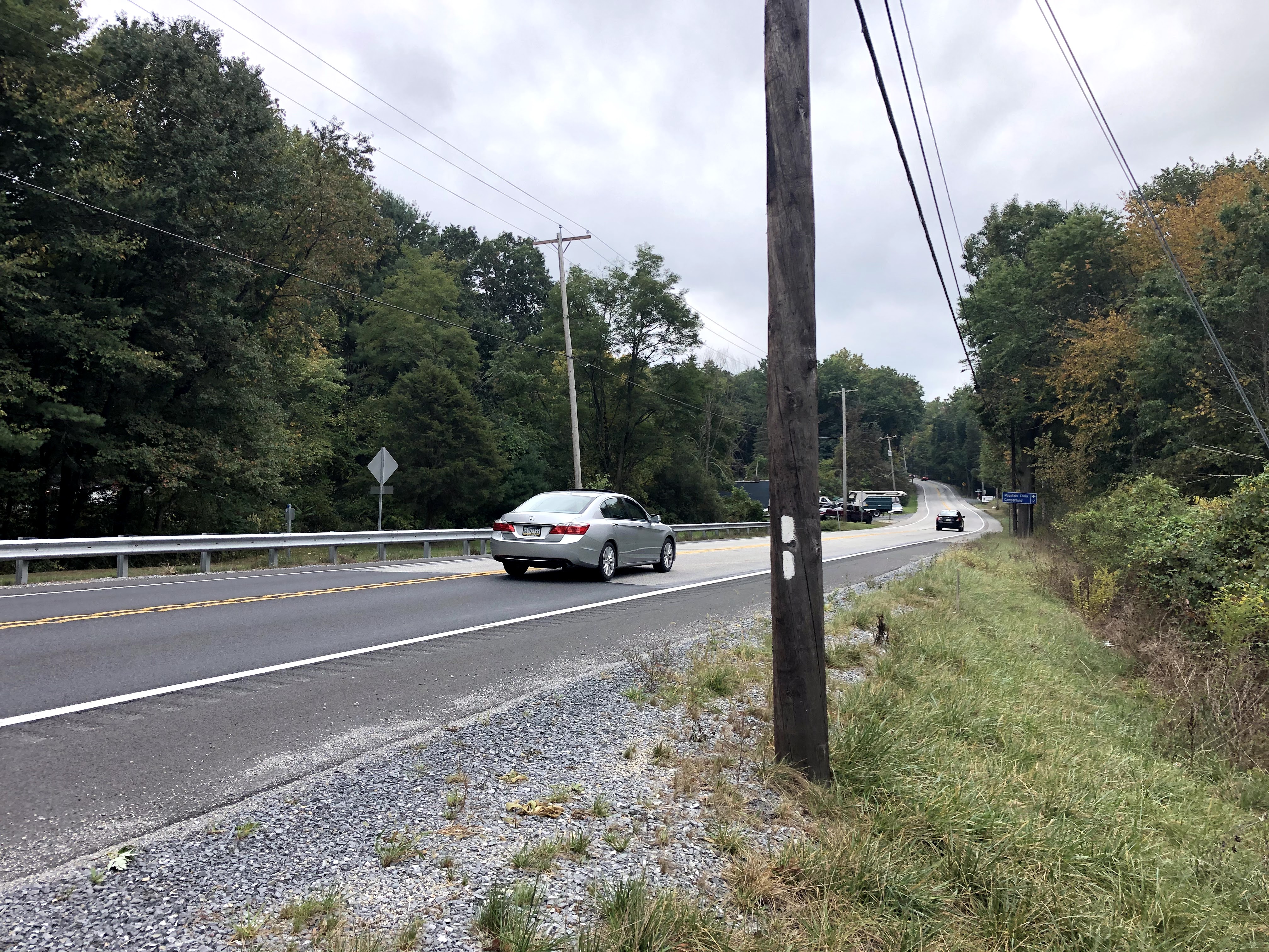
Not this way
We walked up hill number two: steep, but not too bad, and here we nearly descended as soon as we made it up. And then, we approached “Rocky Ridge.”
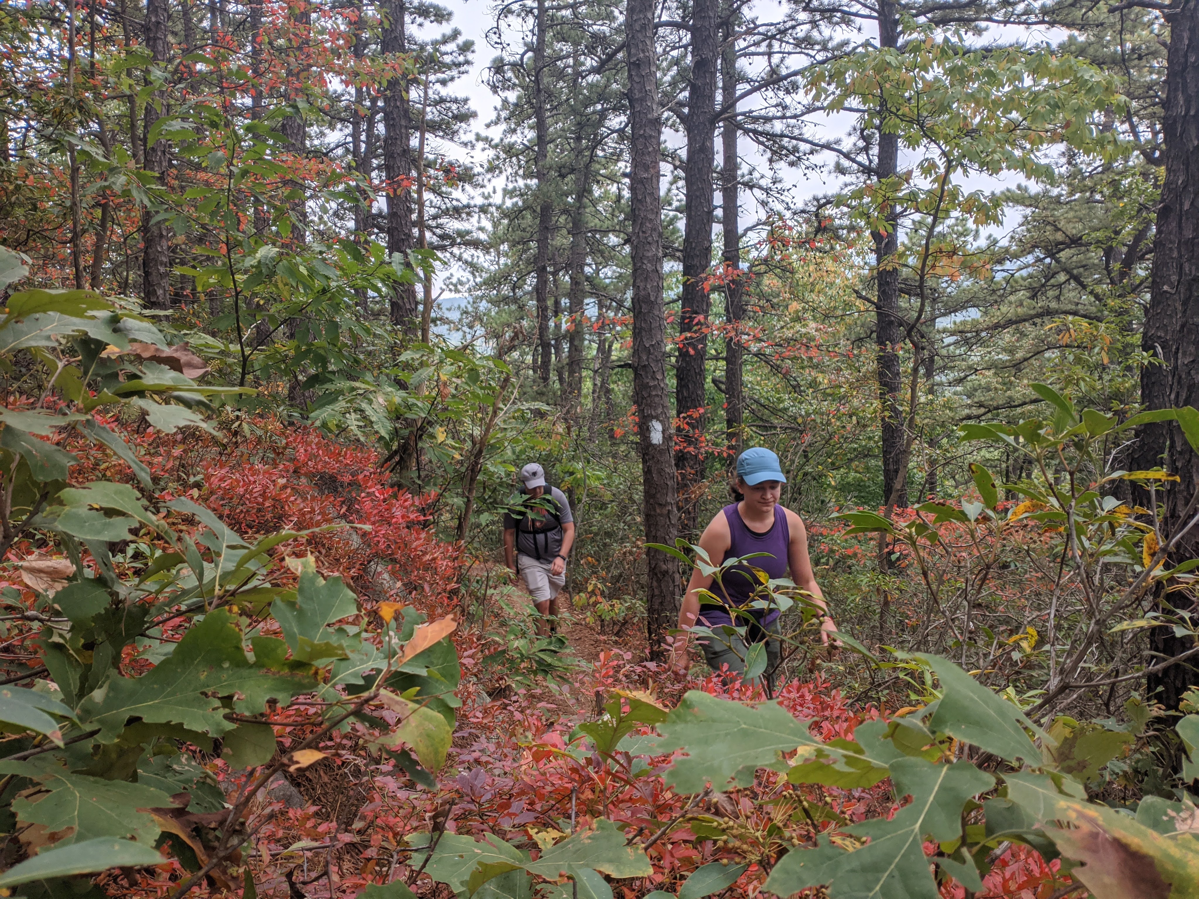
Before we get there, though. The climb to reach Rocky Ridge is steep. Be prepared for this section to take a while and stop for frequent water breaks. There’s a flat bit towards the summit where you can rest and catch your breath, and I was glad to be there in autumn because the trees really were beautiful.
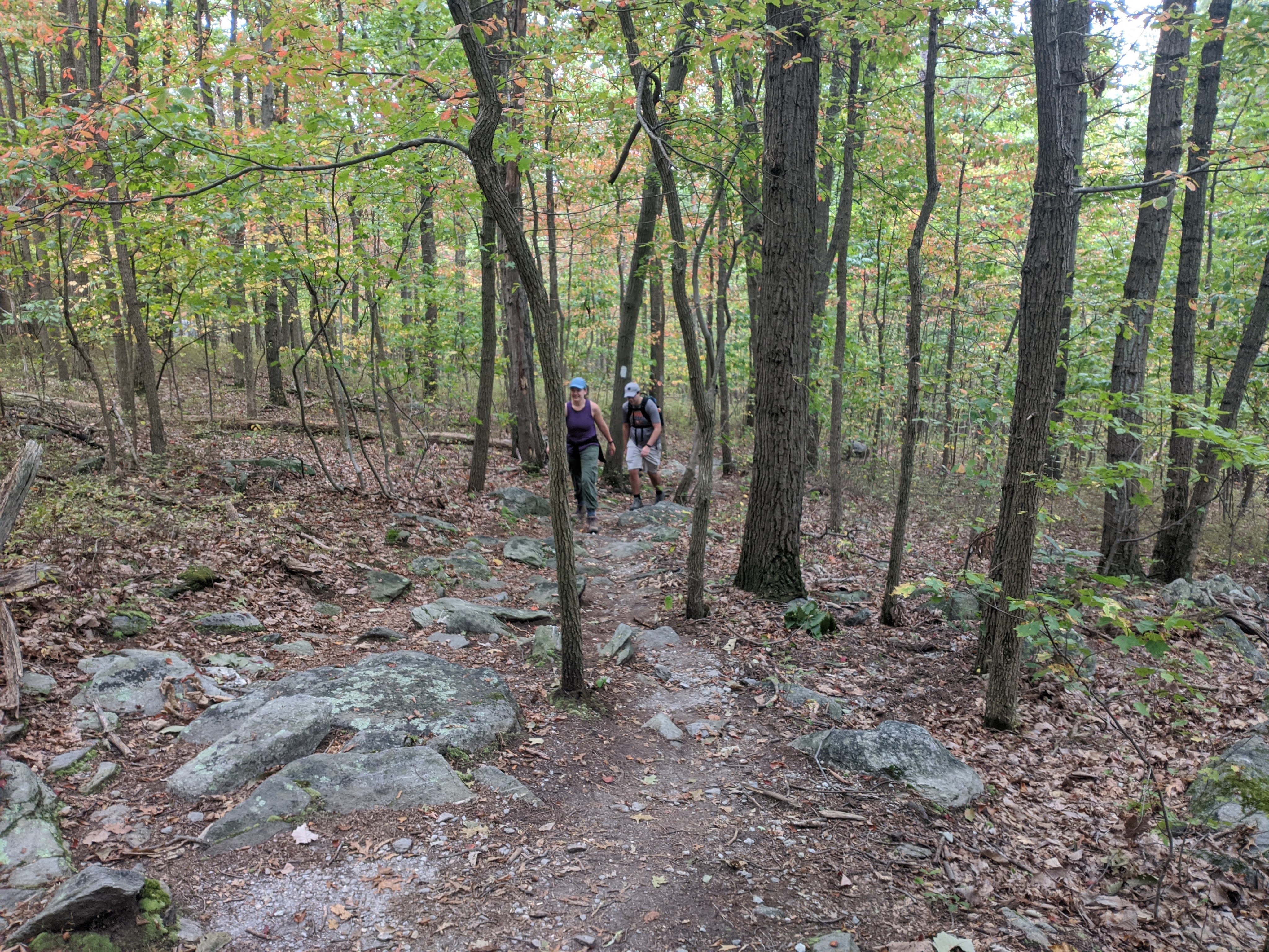
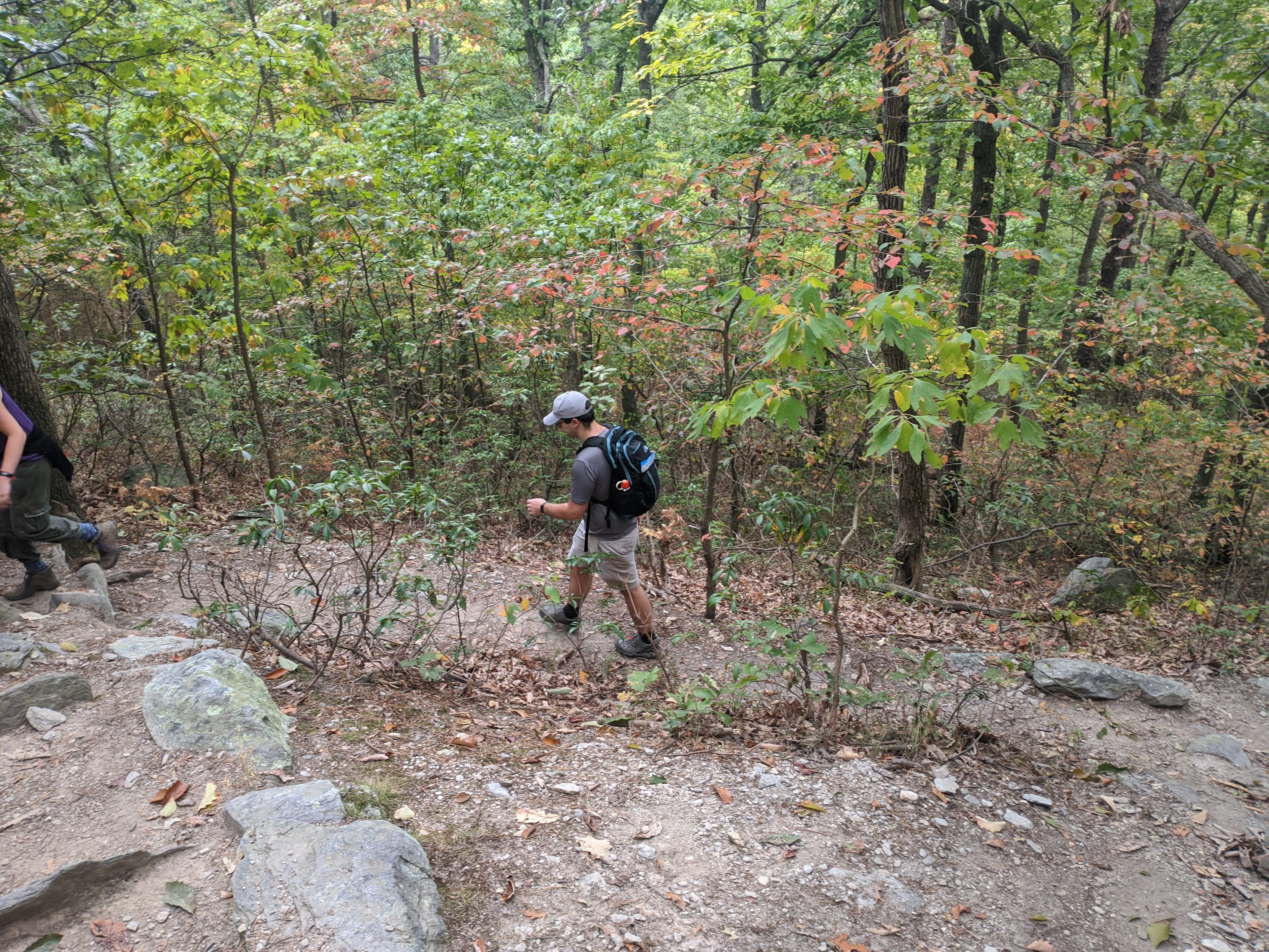
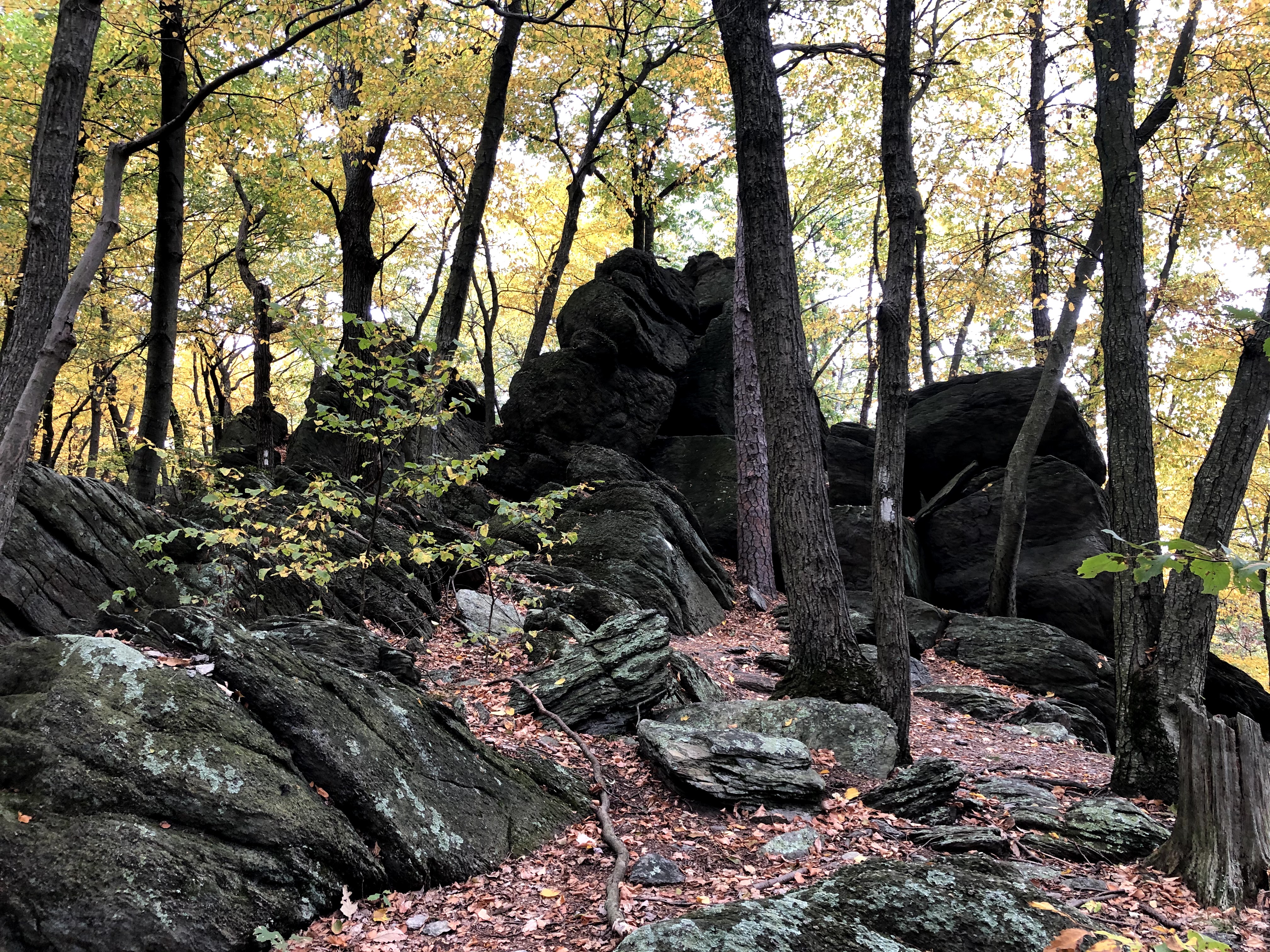
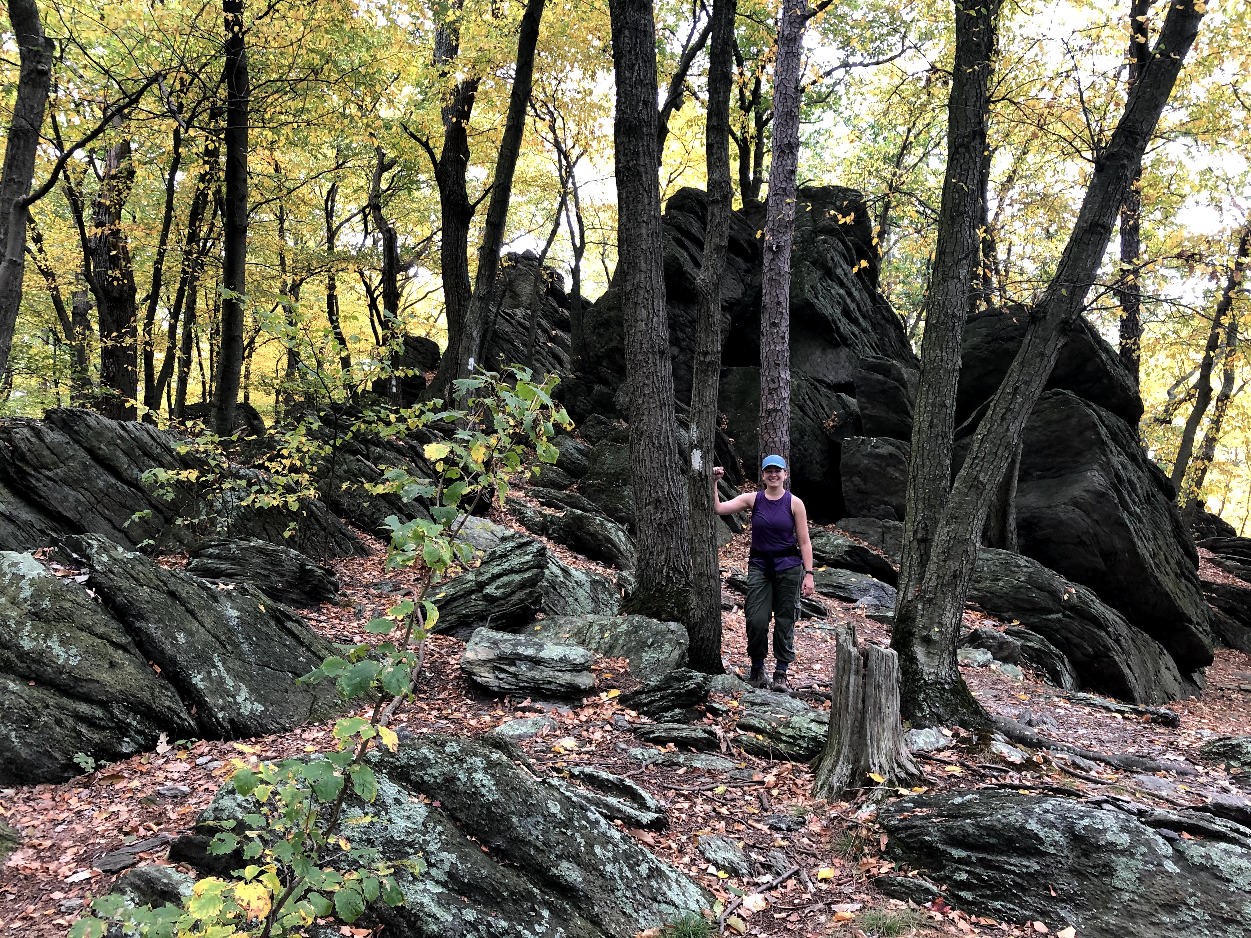
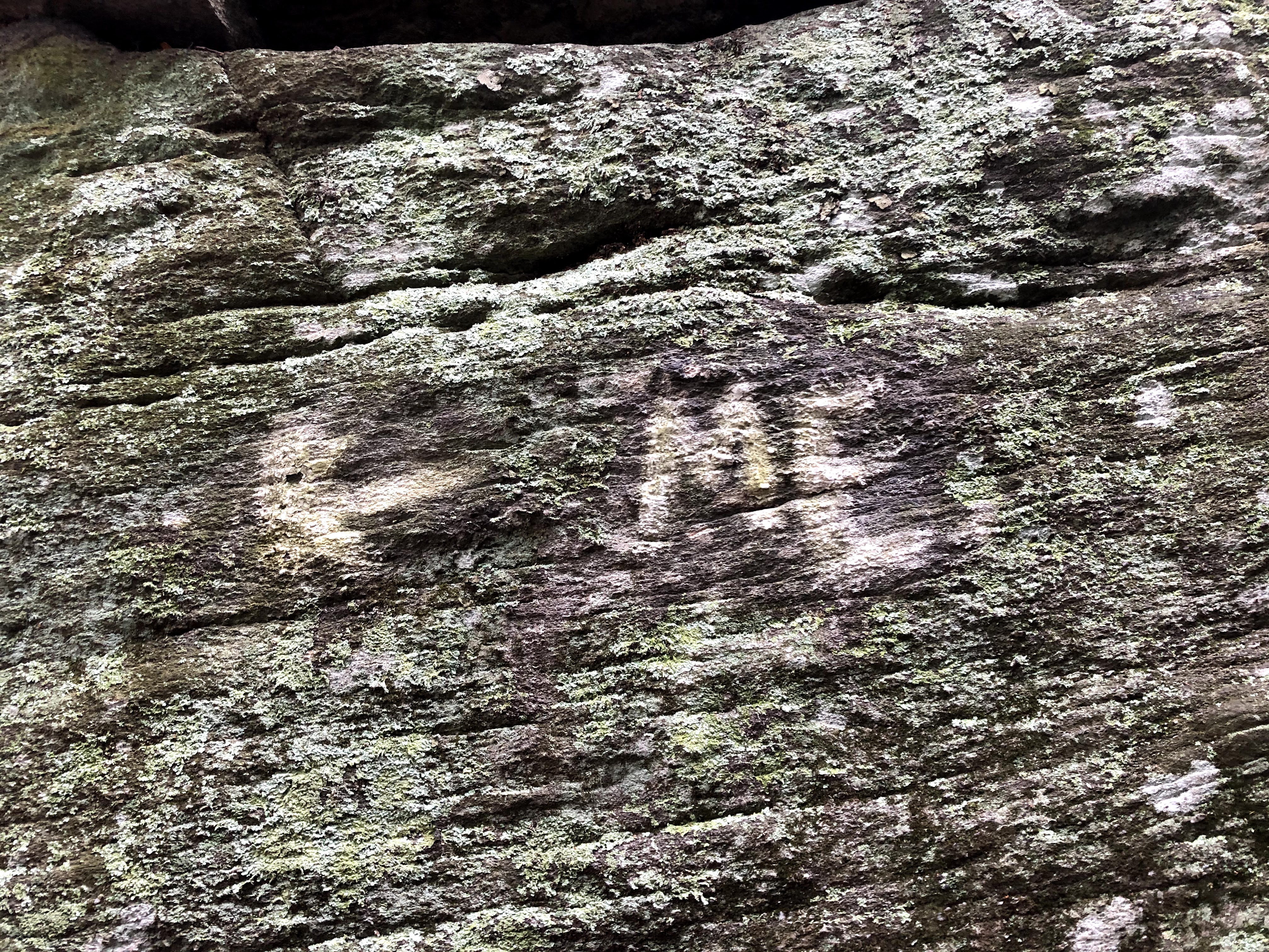
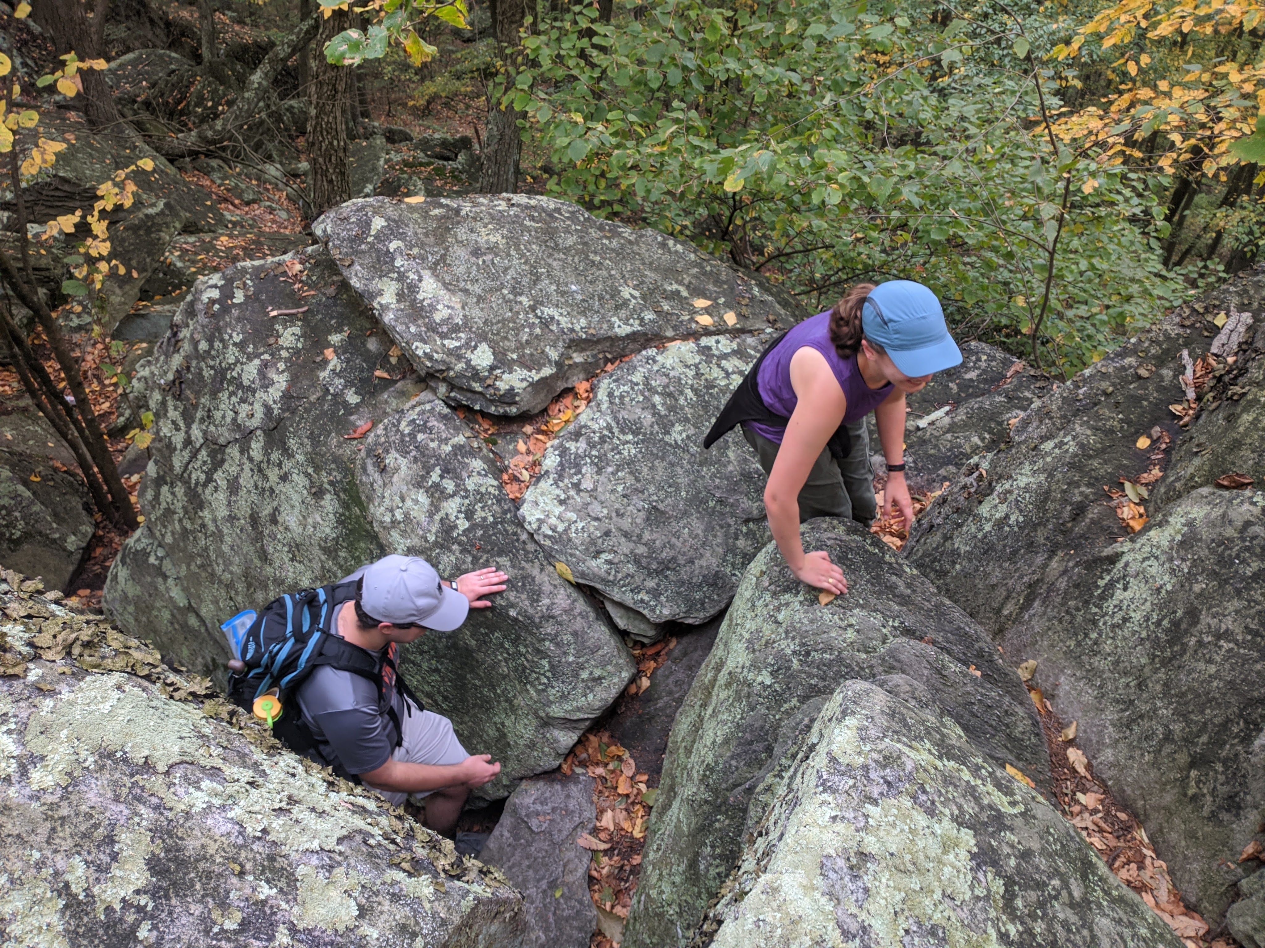
Rocky Ridge deserves it’s name. We saw some rocks in Maryland, and I complained about them here. We saw some rocks earlier in Pennsylvania, and we were able to walk around the biggest of them. But never have we had to scale actual boulders. Pictures are going to do the rocks more justice than my words. Here they are:
This way to Maine! 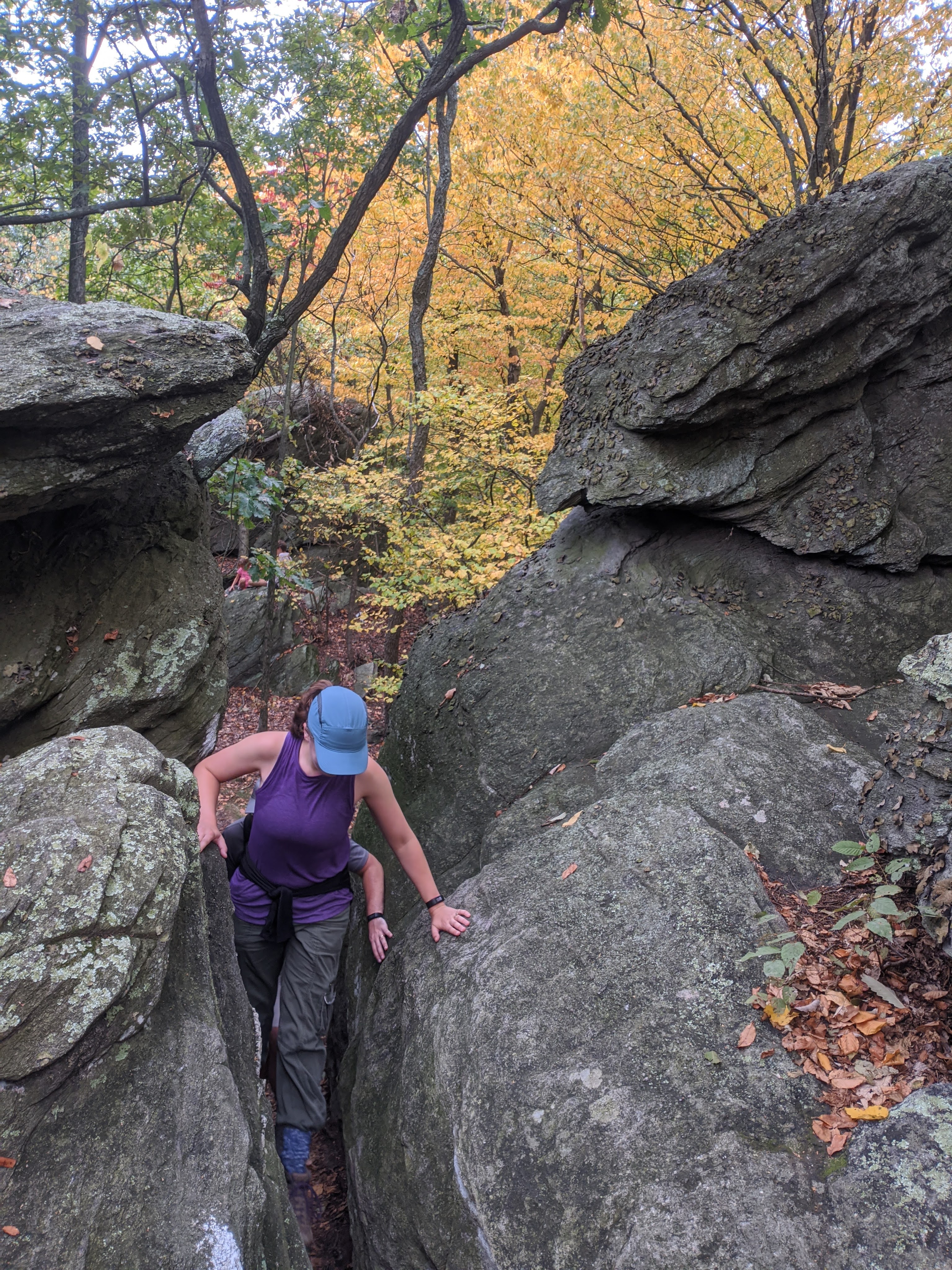

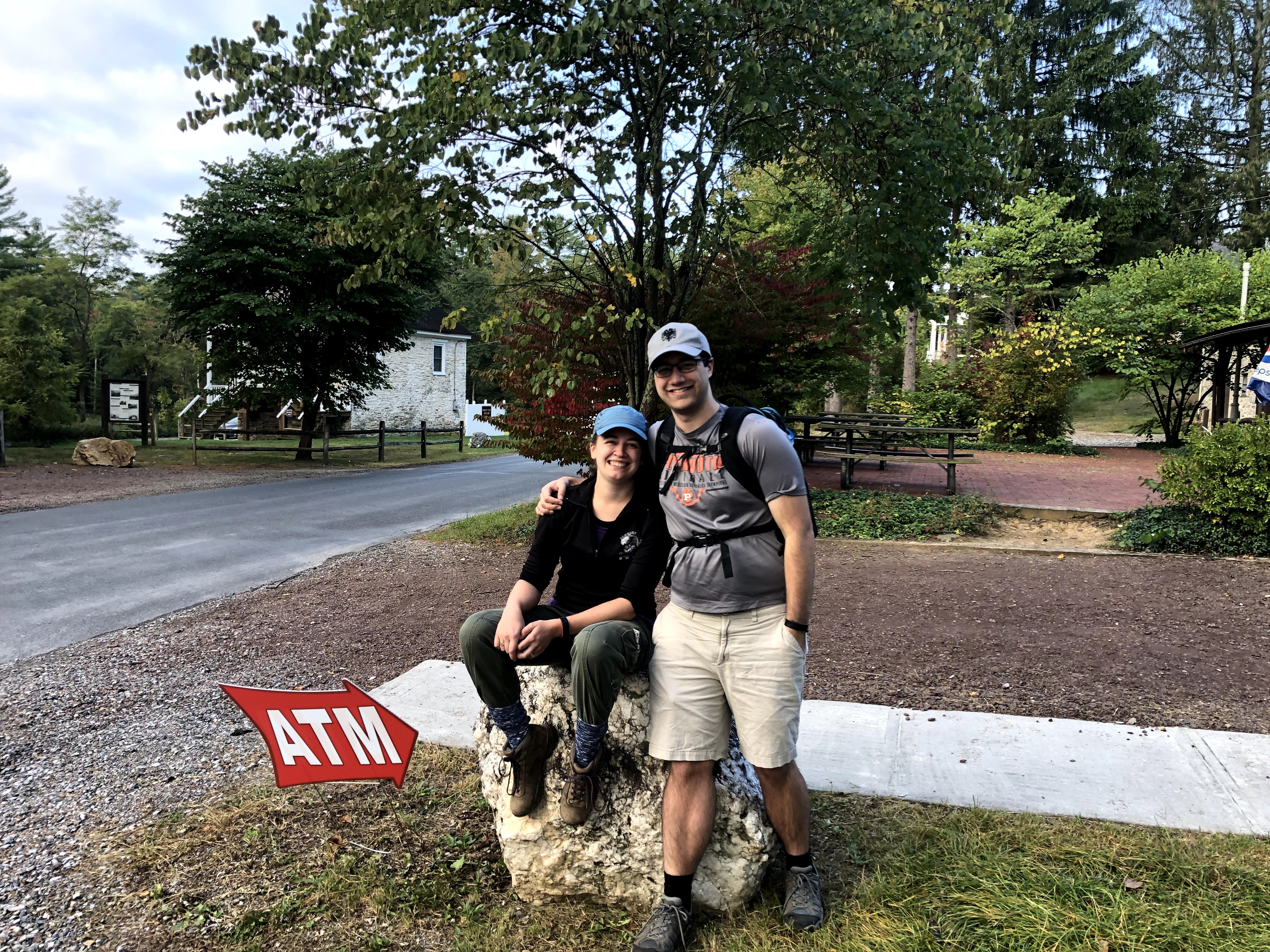
After climbing over the rocks, the descent was thankfully swift and led us straight to our car.
| Miles Completed | 95.3 |
| Miles to Go | 2094.7 |
| Percentage Complete | 4.4% |
