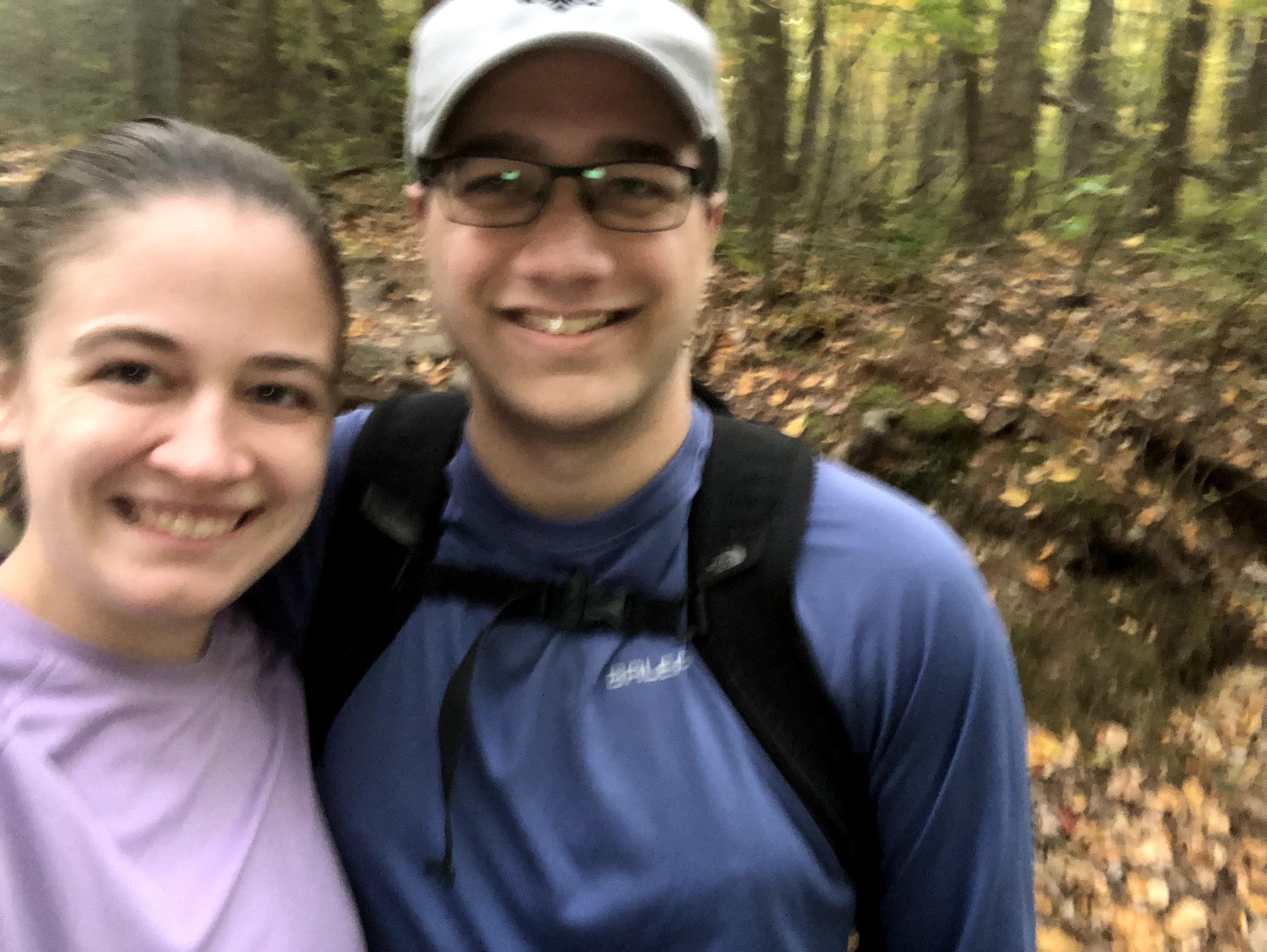
We are officially 5% done with the trail! We started this adventure back in early August, 10 weeks ago. We’ve done nine hikes (skipped a week to let Henry’s blisters heal) in West Virginia, Maryland, and Pennsylvania. We’ve crossed over a river, walked through towns, climbed over (and through) boulders, hiked up and down hills in the woods, and traveled through multiple state parks (I have to stop the list now because I’ve run out different verbs). We are certainly not stopping here, but five percent felt like an accomplishment, and I wanted to celebrate our success so far.
The hike from Whiskey Springs to Scott Farm is actually pretty flat and gentle, but this section was 2.5 miles longer than our longest hike, and by the end our feet were feeling it. As we get further and further away from home, we want to maximize our time on the trail while only doing day hikes.
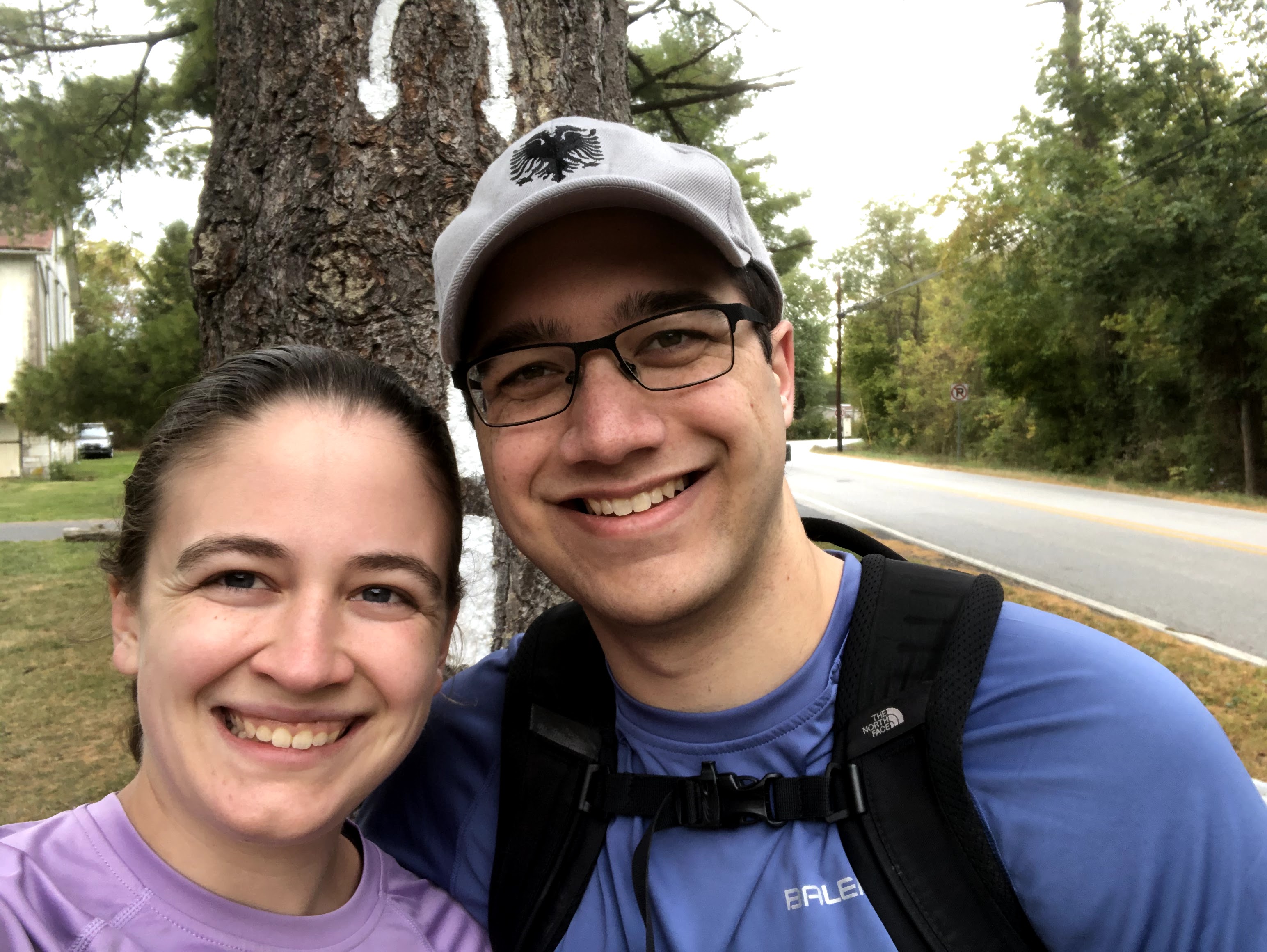
Our day started off with an oops. Instead of parking where we did last time, because we were driving south we ended up on the opposite side of the road. In my head, I knew we had to stay on the same side of the road as our car to start walking north. This was wrong. As we started walking up among the fall foliage, Henry said, “Are we sure this is North?”
“Of course I’m sure,” I said. Suddenly, I was not sure. But I was also mad that my assurance was being questioned. “Why don’t you check it?”
He already was, obviously. “Yeah, I think we’re going the wrong way.”
“Well all right then.” So we turned around, restarted our watches, crossed the road, and this time actually went north.
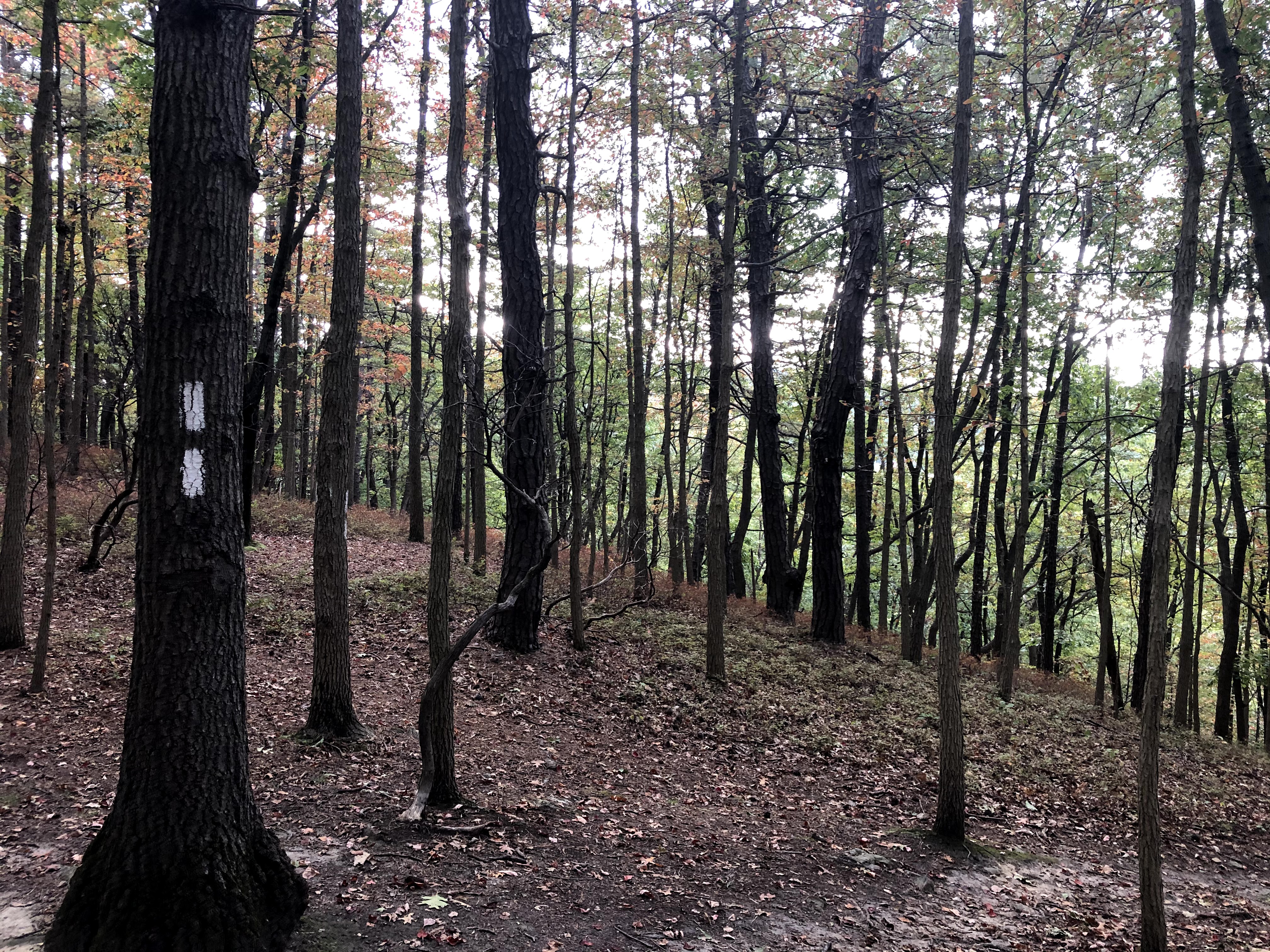
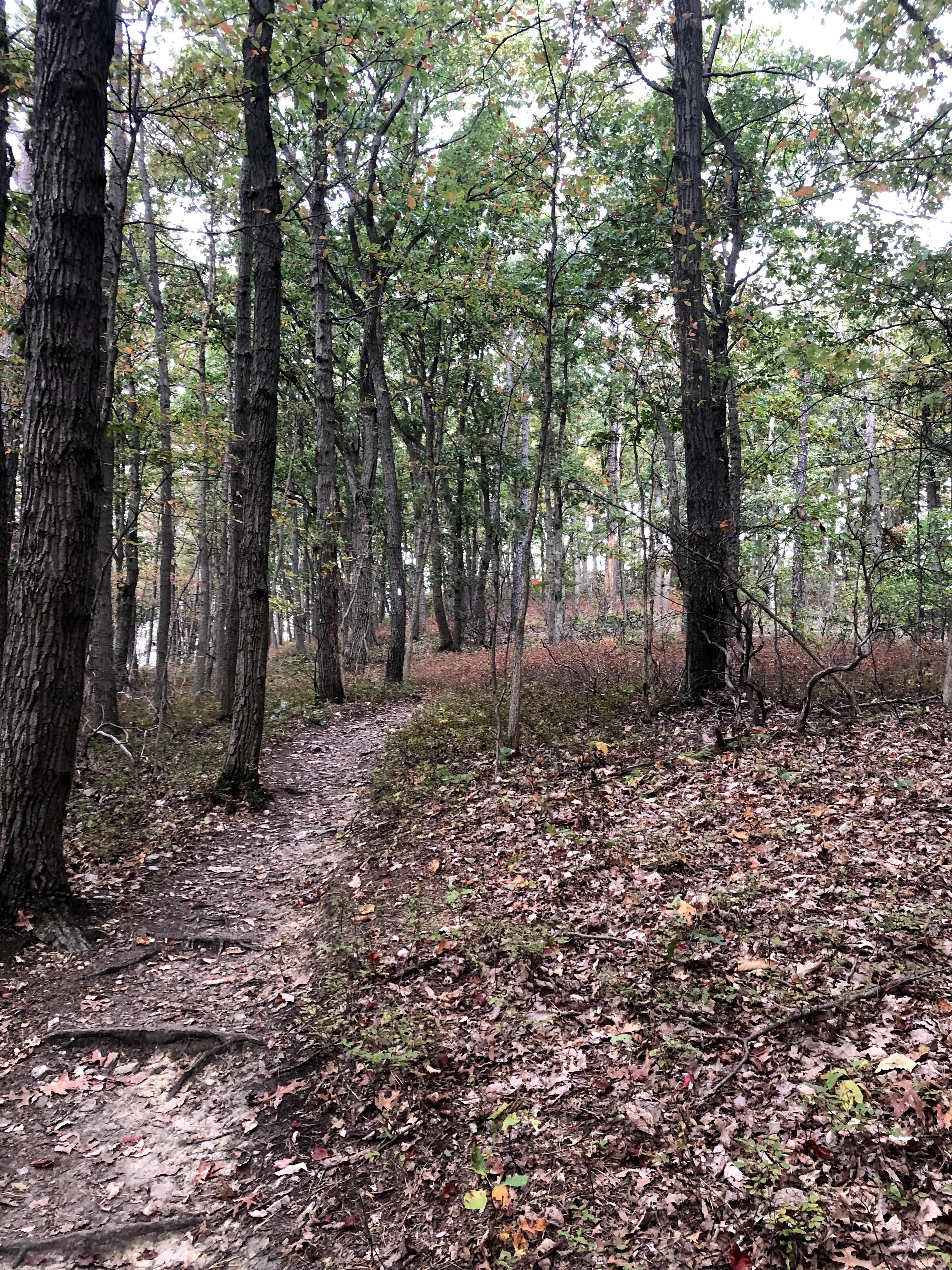
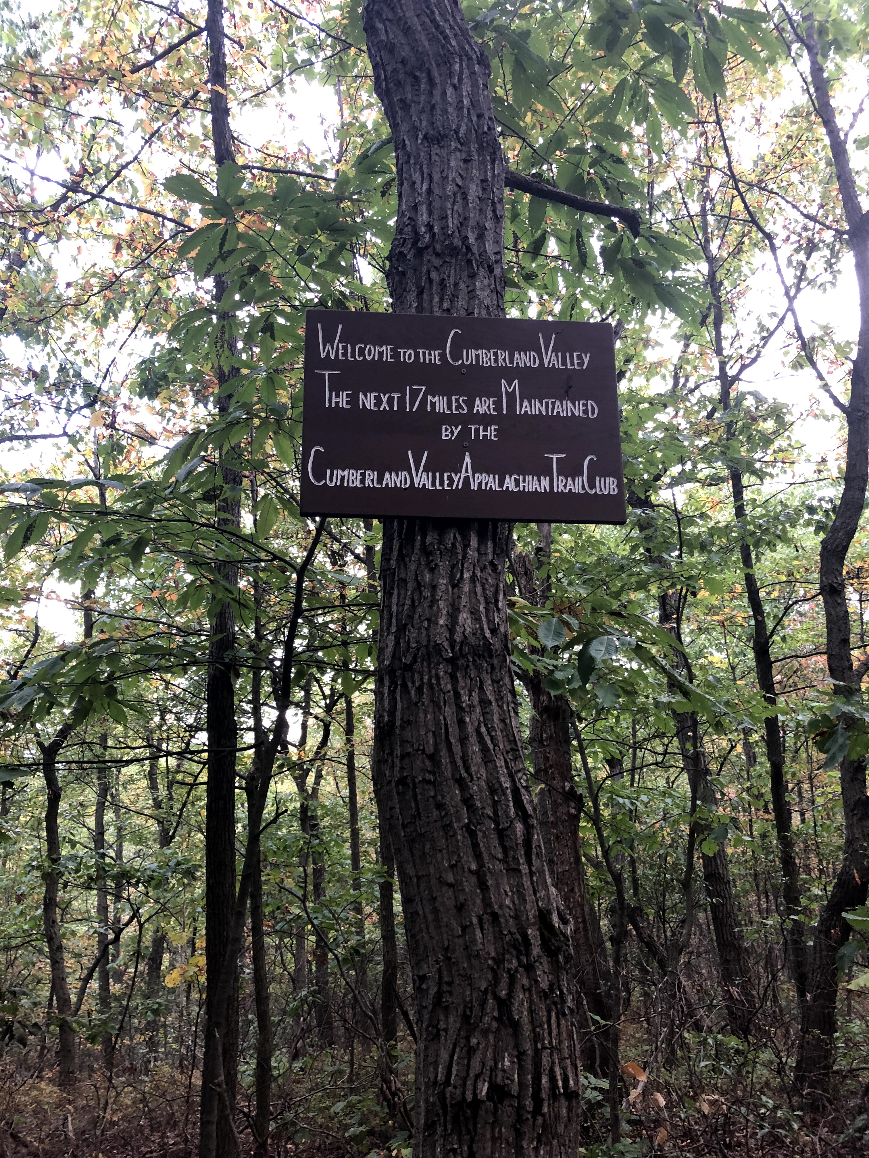
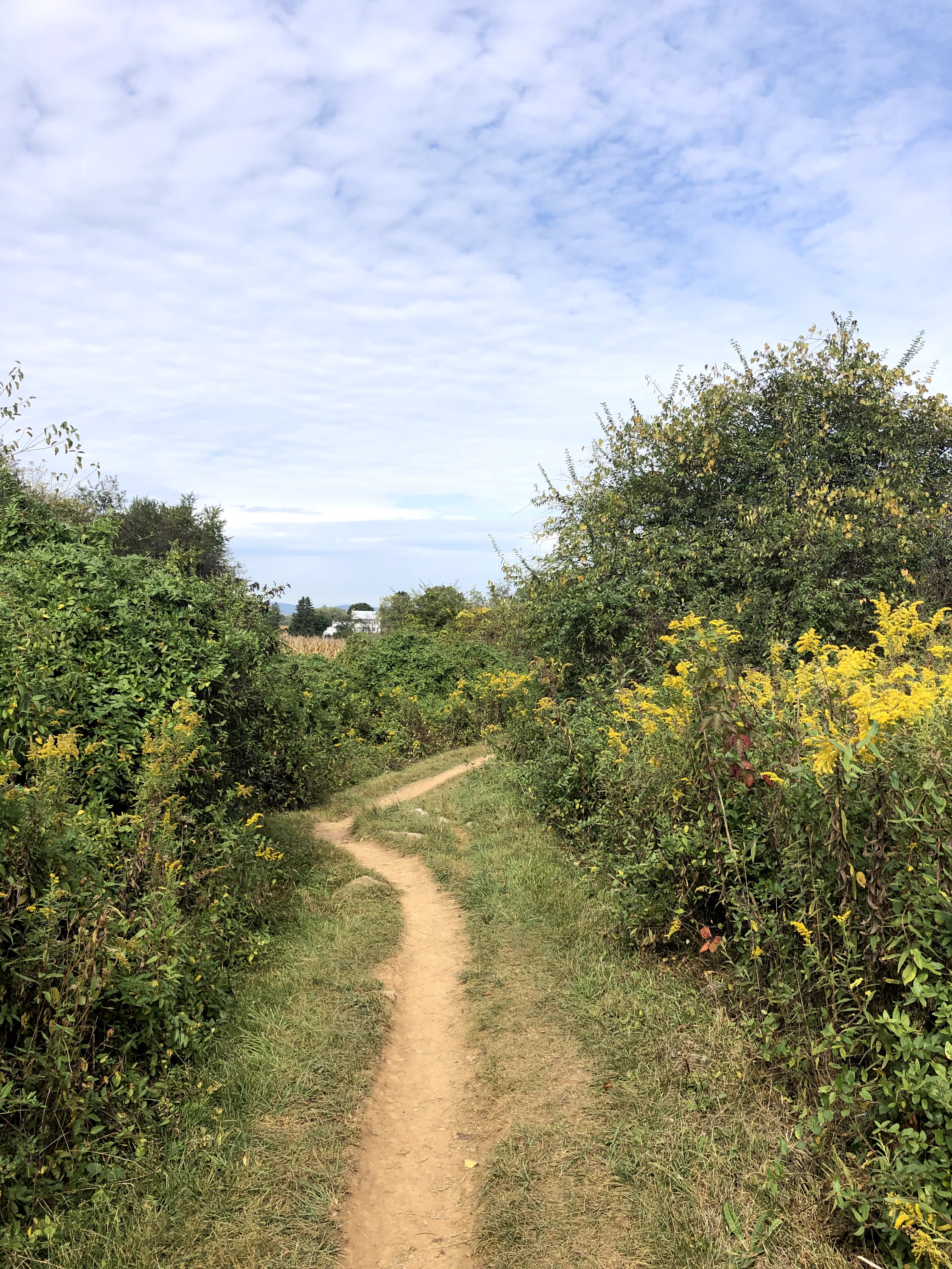
Starting from Whiskey Springs already puts you high up elevation wise, eliminating the climb that most of our hikes have had. We passed some more boulders right away like we saw at the end of the last hike, but this time did not actually have to go through them or over them. The trail was covered in autumn leaves, and the whole scene was very pretty. Unfortunately, this section did not keep us in the woods for very long.
Within about 4-5 miles, the trail spits you out into a field. At first I was in love. When I was backpacking through England, I loved my day hikes where trails would actually lead you through pastures and fields. I felt (and feel) like Elizabeth Bennet or Anne Shirley, coming across the corn field or sheep pasture, head in a book.
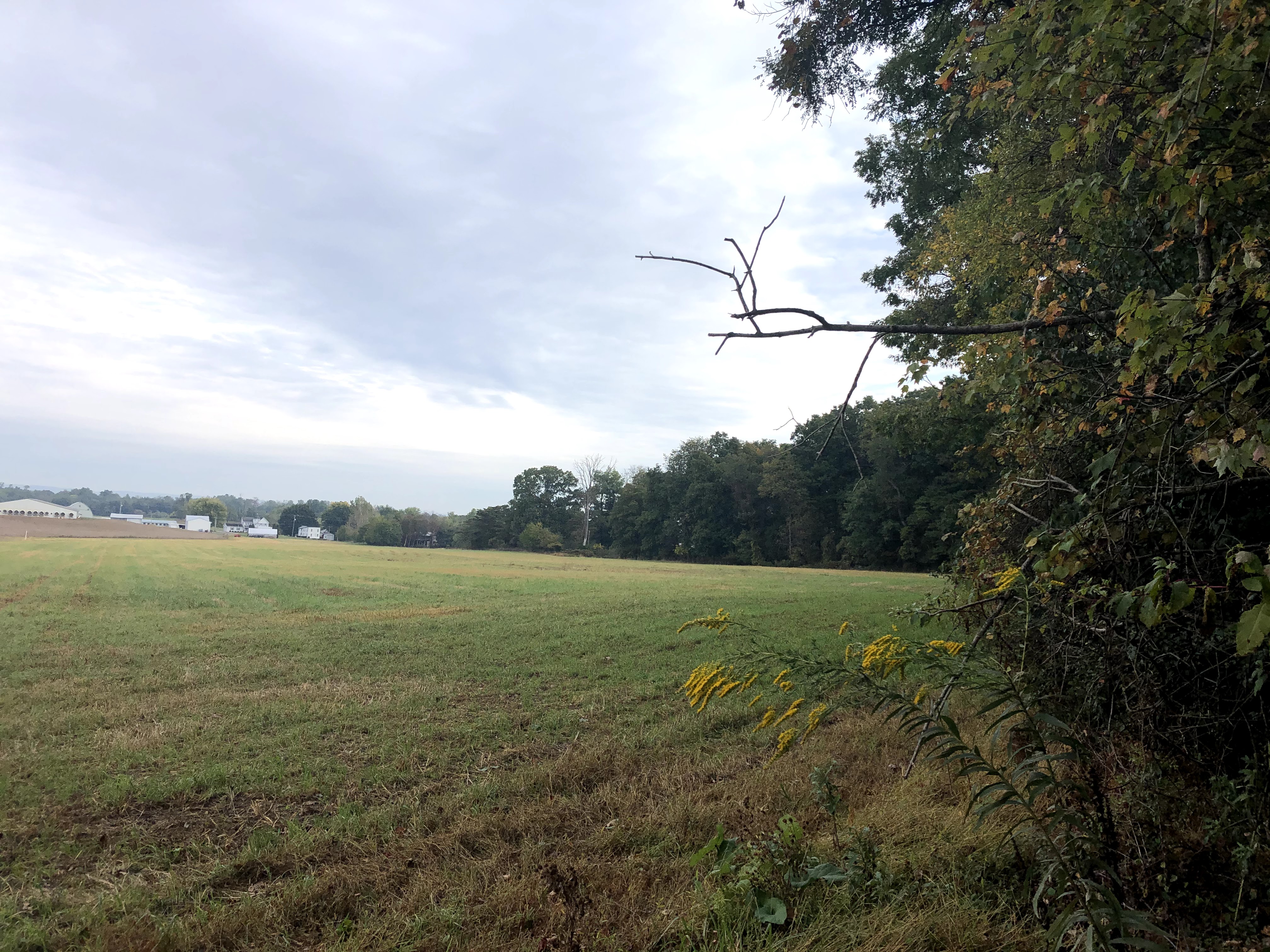
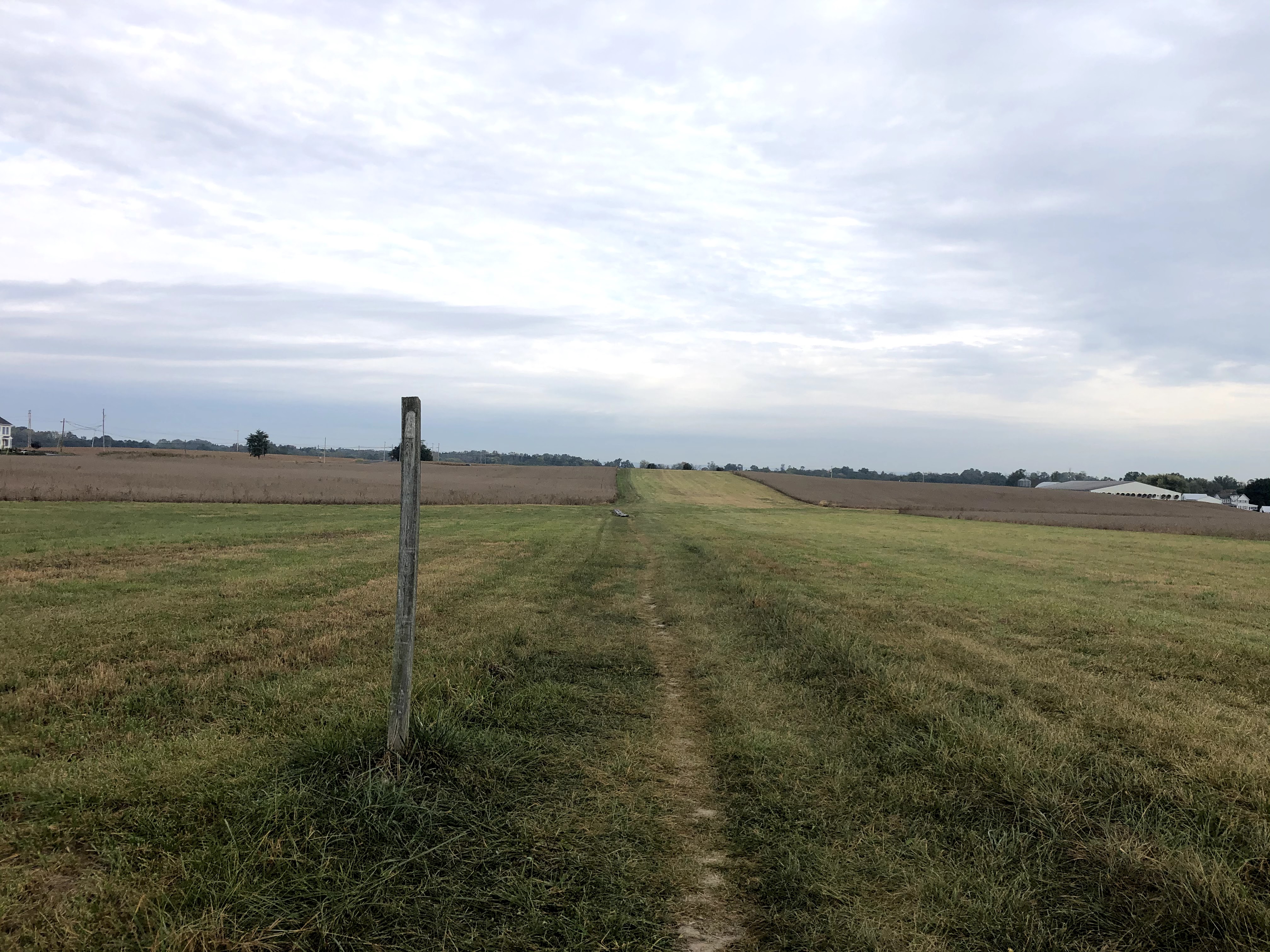
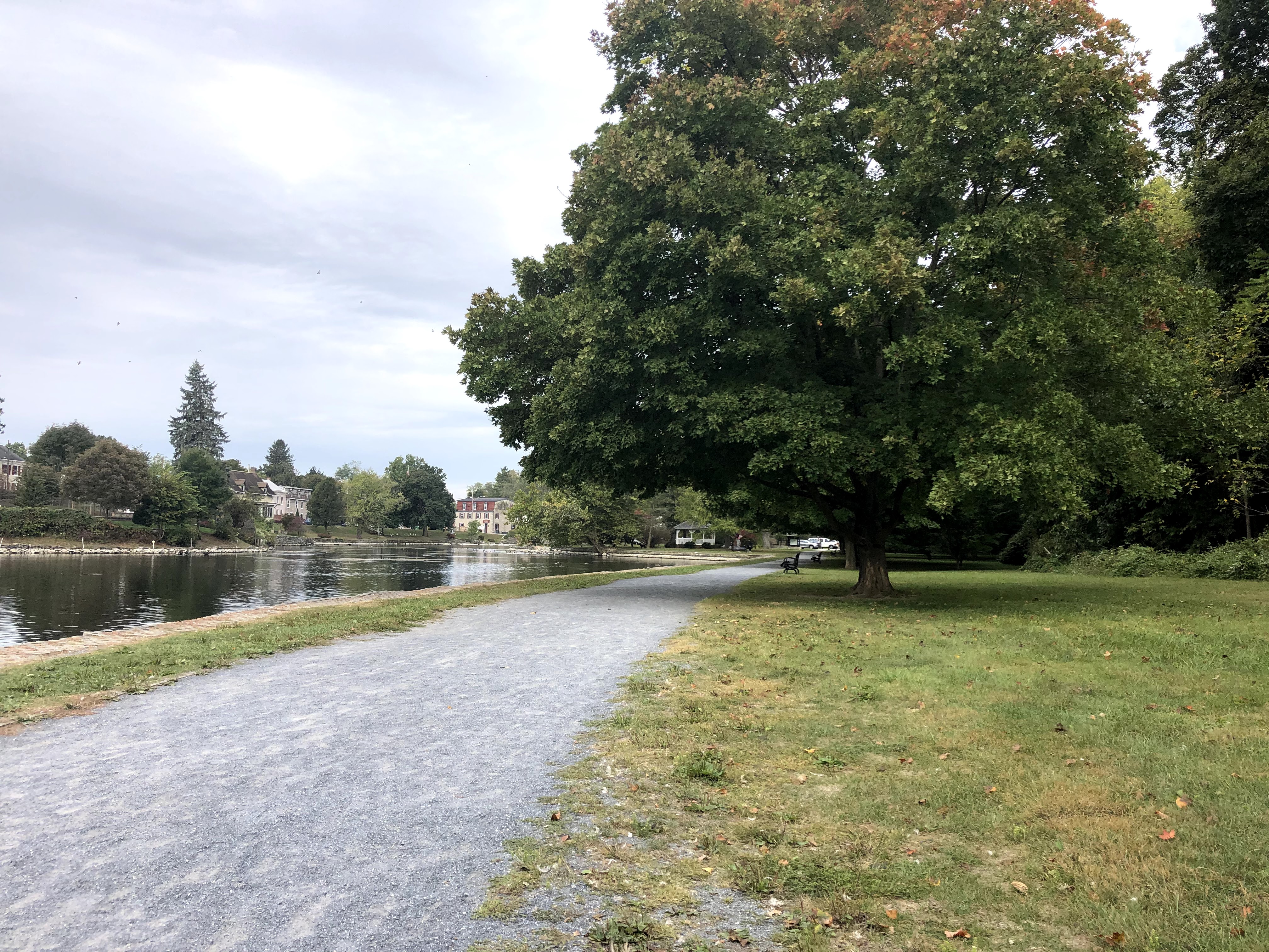
Hiking in the cold among soybeans at 8:30 in the morning, passing Trump signs as we go, does not have the same effect. Ah well. Once you get through all the farms (the first time), the AT goes through the small town of Boiling Springs. This part got a little confusing blazes-wise, especially when crossing over the bridge right before town really starts (It’s on the other side of the road and across the bridge). But then it brings you past the lovely “Children’s Lake” which is a man-made pond with ducks, geese, and I’m pretty sure swans.
We were only six miles into the hike with much more to go, but we could not pass up on the opportunity to sit on benches for our lunch.
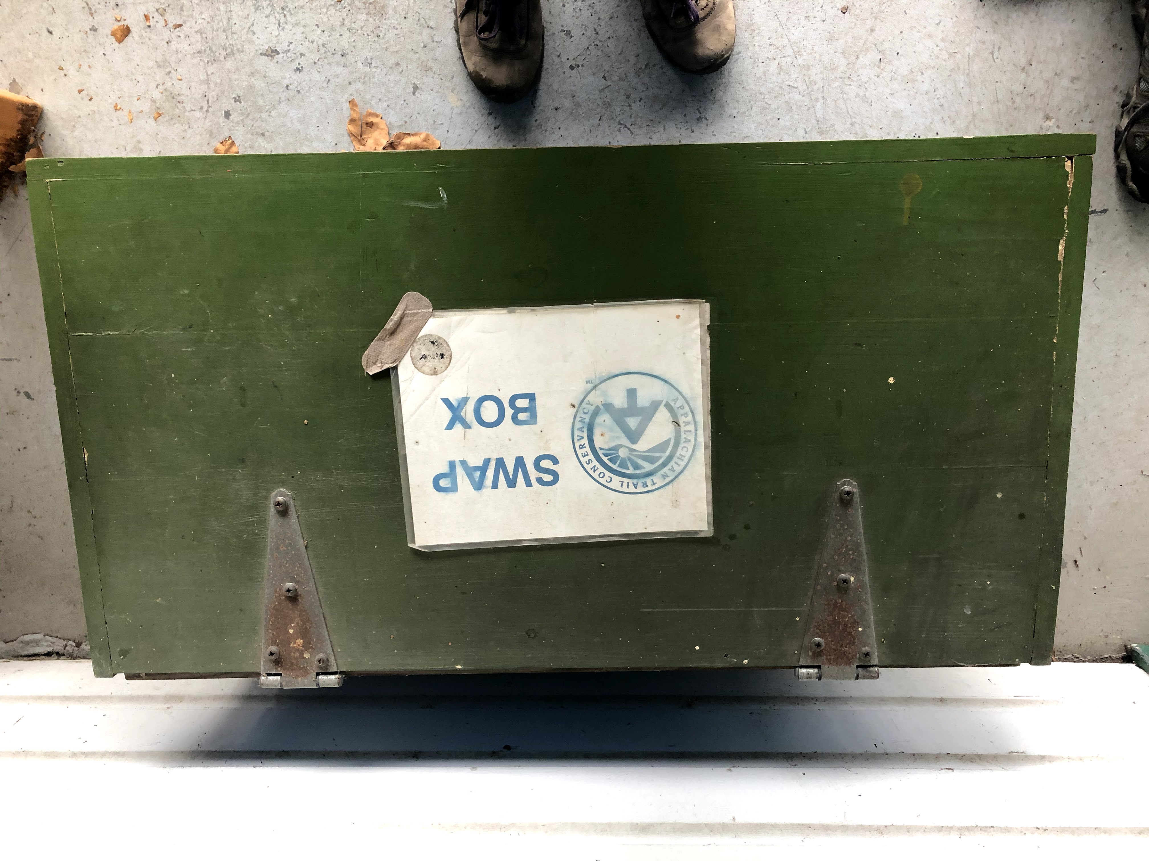
Then we passed an Appalachian Trail Conservancy building, closed. There is water here and then not again for another 15 miles.
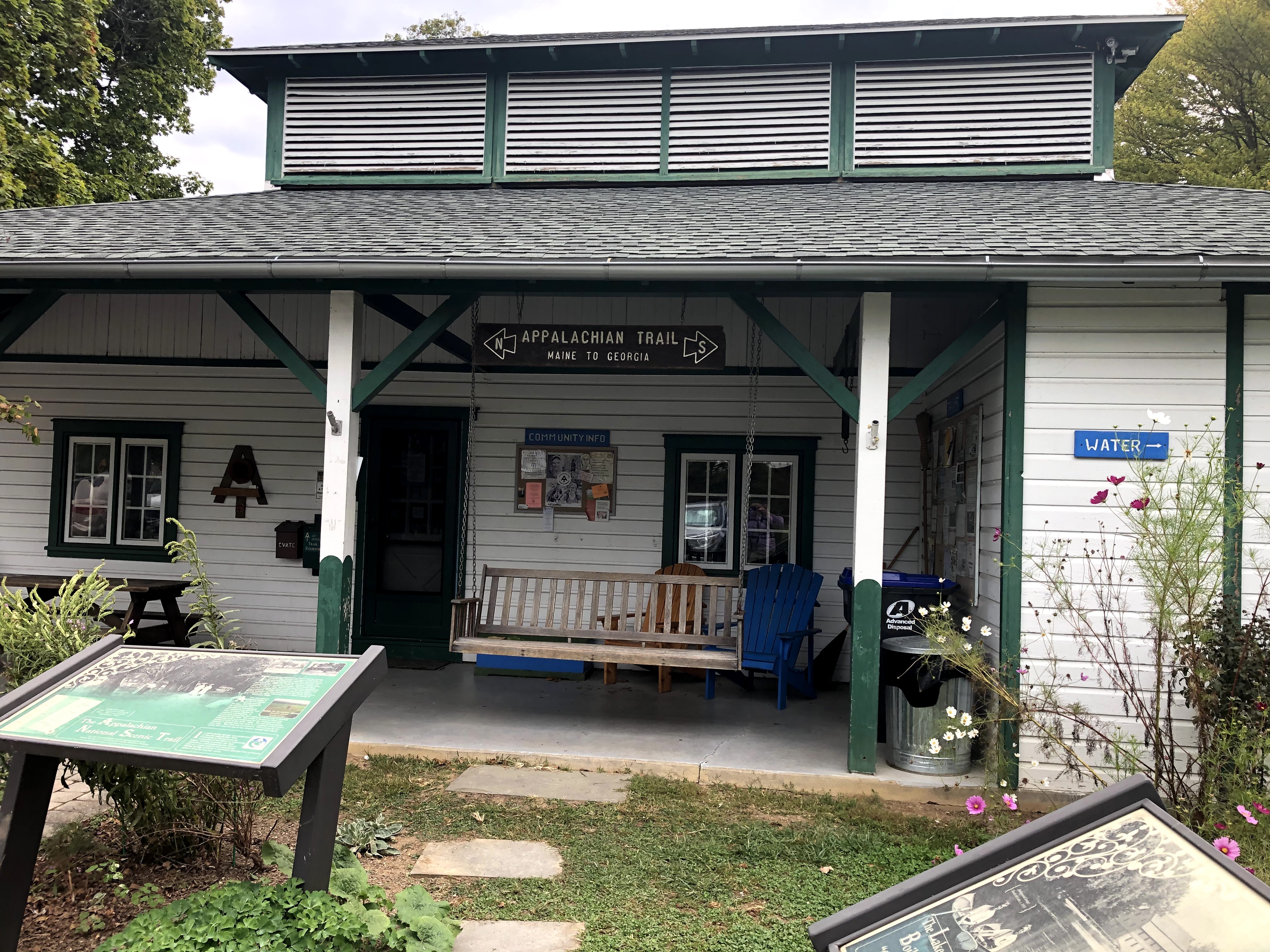
Once you’re past the building, turn right and keep walking up E 1st Street/Boiling Springs Road. Once you reach the top of the hill (with cars flying past you), the trail will be across the street.
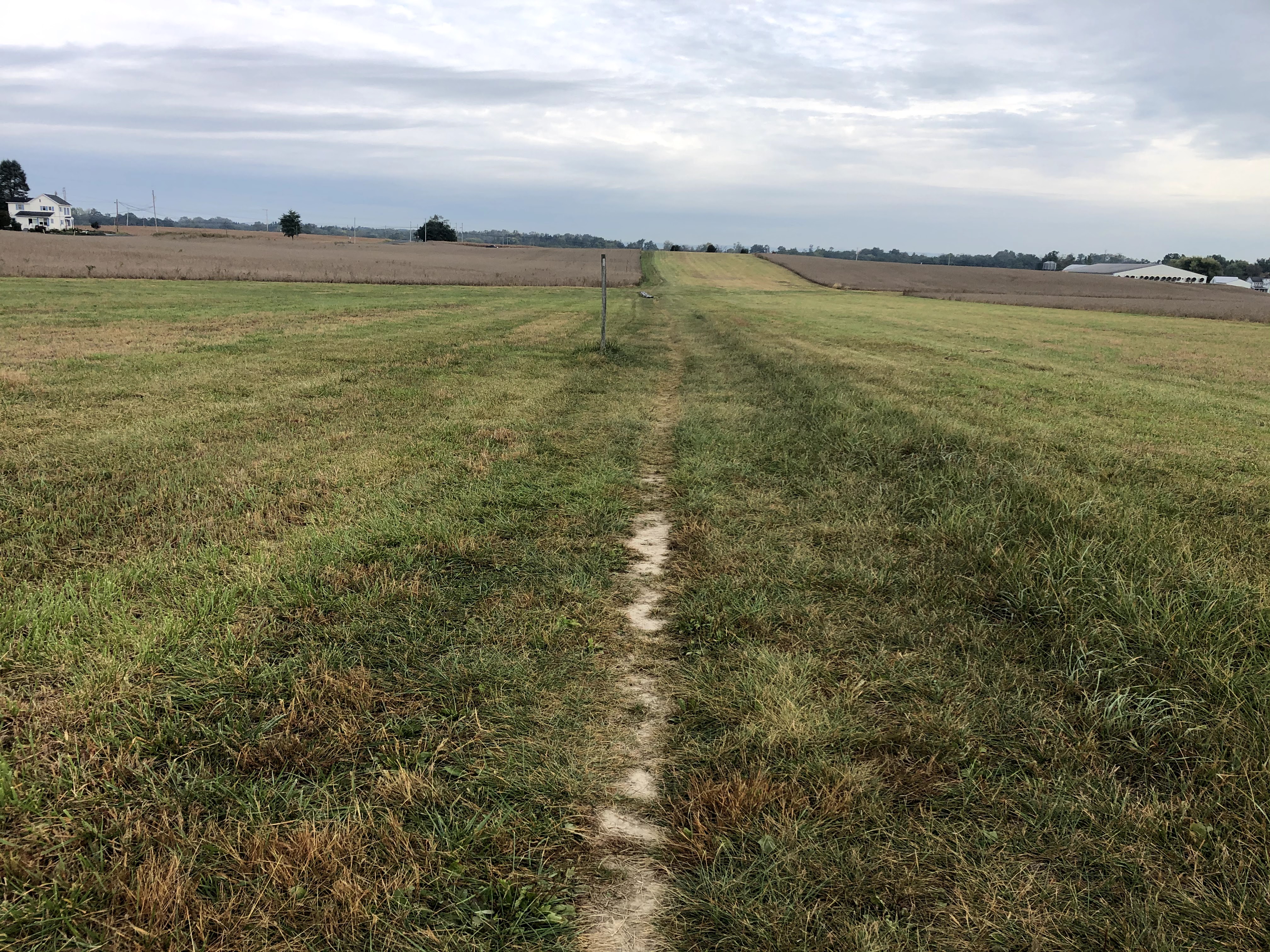
You then stay in the woods, but only in the small stretches of woods between farms. You can always see the either soybean or corn fields just behind the trees. At one point you have to cross York Road/Hwy 74 which was busy when we crossed.
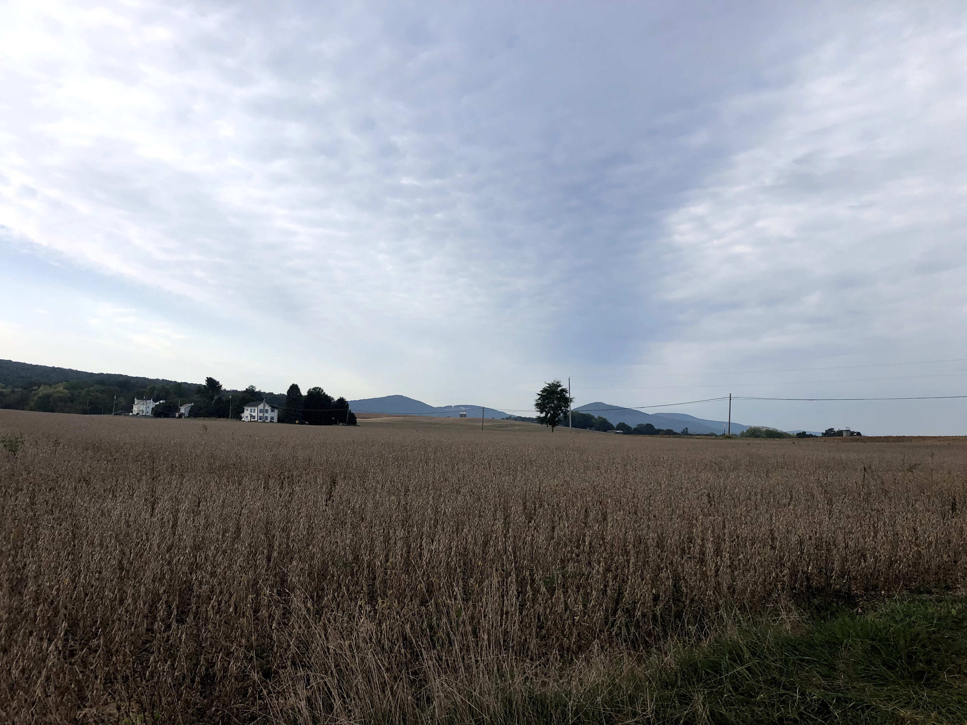
It really does continue to be lots and lots of farms and fields after that; we spent very little time in the woods, which was disappointing because the fall colors are so beautiful right now. At least we can skip the corn maze this year.
After a while, the trail put us onto “Appalachian Drive,” which crossed over the turnpike – the highway we take when we want to visit family in Wisconsin. Technically we were in Carlisle, Pennsylvania at this point, and that made me excited originally because I have learned about the Carlisle Indian Boarding School in several education classes; now the building has been turned into the US Army Heritage and Education Center. Only recently was a historical sign added to the land to commemorate the injustices that went on at the boarding school. The trail did not go by the site, however.
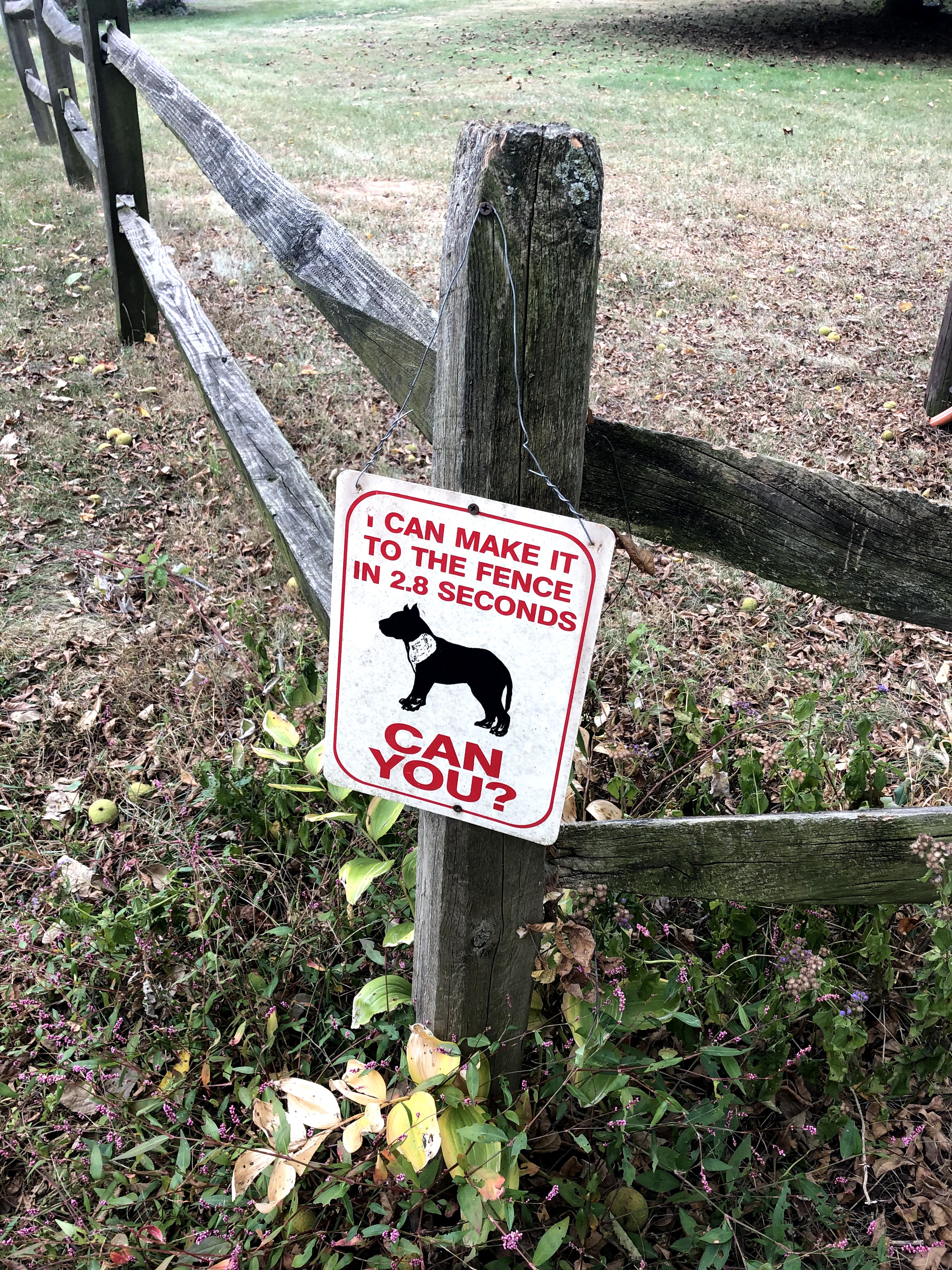
We did pass a farm that was…ready? hoping?…for burglars. They had a lot of signs like the one below, and one that said, “Burglars please carry ID so we can alert next of kin.” Sweet that they’re so conscientious. We passed a much nicer farm that had lots of cows and goats a little further away. When I eventually grow up, I would love to have a farm with goats. And maybe one or two cows. Maybe a flock of chickens. And a huge garden, obviously. Henry is shaking his head he’s so enthusiastic about this dream.
Bernheisel Bridge Road carries the trail for a little bit (we spent a lot of time on roads for this section). I know we always joke on the trail that we’d love if it was paved, but I was wishing for more time in the woods while we were doing this bit. Once the AT started hugging a little river though, a feeder for the much larger Susquehanna that I cannot find a name for, I knew we were nearly there. By this point my feet and hips hurt. My mom is a physical therapist and so I know that my knees knock together too much while walking, and I could feel it that day.
Scott Farm is called a Work Farm, but I’m not sure what the actually work is because behind the farm is a subdivision and in front of it is a road. Maybe they work down the road? Anyway, they provide parking for people on the AT and so that is where we stopped our journey and will begin the next one.
I hope you found this story of walking through fields and across roads at least interesting. It’s becoming harder not to slip into “guide” mode in the blogs and keep the narratives as the focus. Let me know what you would like to see more of 🙂
| Miles Completed | 111.8 |
| Miles to Go | 2078.2 |
| Percentage Complete | 5.1% |
