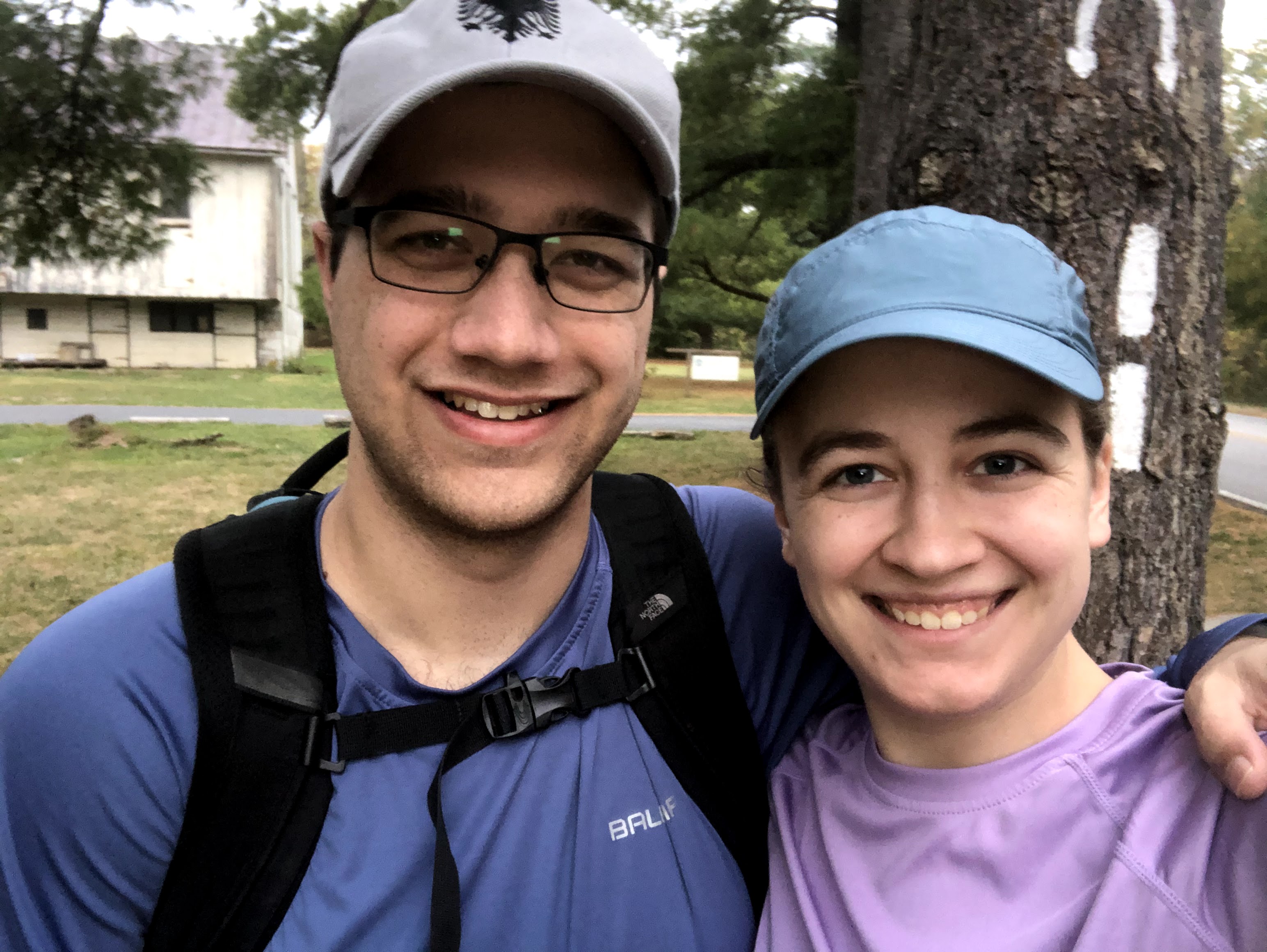
This is the story of how we walked 3 miles more than intended and met the most discouraging fork in the woods we have ever crossed. But the story takes time to build, so let’s start at the beginning.
We started back at Scott Farm, the working farm where the trail does a 180 degree turn (clearly marked) before you head back into the woods. It was a chilly morning, but neither of us had jackets so we just had to hope that the walking would soon warm us up. We crossed over Conodoguinet Creek (what I said last blog was an unnamed river), and headed north.
After last week’s Adventures in Farmland, I was worried when we ended up on the periphery of a farm field barely a mile into our walk. Thankfully we went straight back into the woods, eventually diverging from the river as we approached Sherwood Drive.
Most of the time, we look at the elevation changes before we start our hike so we have a pretty good idea when we’ll be going uphill and when we’ll be going down. We didn’t do that for this one, and that’s probably good (we might have chickened out). In the woods, we continued walking uphill, but gently, until about mile 3.5 when the trail became switchbacks, ascending more steeply towards Darlington Shelter. According to Hiking Project, the Darlington Shelter is “impressively constructed” and earns 4/5 stars (from three reviews). We didn’t actually see the shelter, normally they are at least half a mile from the trail itself, but we did see a sign pointing the way when we eventually made it up the hill.

After we passed Darlington, the trail started to slope back down towards more farms. When we reached a small bridge (good indication you’re at the bottom of a hill) we paused for lunch. We kept thinking that hikers were going to come upon us imminently because there was a very loud group nearby, but I think now they were just camping nearby. I still don’t know the rules behind where and how you can camp outside of shelters in PA — that’s something we’ll need to learn before next spring. After our typical lunch of peanut butter and jelly and beef jerky (no Dad, not altogether), we started again. We only stayed in the forest for a moment before we reached roads and farms. We first crossed Millers Gap Road and quickly after that Valley Road. There’s a small field to cross and then right back to the woods.
From there, the slope upwards starts again. Between miles 8 and 9 the incline gets particularly grueling, and our conversation stopped. We passed a man in a Vikings t-shirt who is gone to pop up again in this story occasionally. For now, we just said “have a good hike” and powered on. Without letting up, at mile ten the hill gets so steep we both had the heart rate monitor as our default screen on our watches. It was “straight” uphill, and by straight I mean the angle of the stairs in your house, just for half a mile (so much longer than it sounds). Our thighs were burning.
Towards the top of the ridge, as we started navigating more rocks, Mr. Viking came charging past us. “Done for the day,” I asked.
“It’s going to start raining hard soon, time to get off the trail,” he said. At this moment, as we had planned to hike 15 miles and knew our last two miles would be on roads, I assumed we had a mile left in the woods. I upped my pace and trotted after Mr. Viking but he quickly outpaced us.
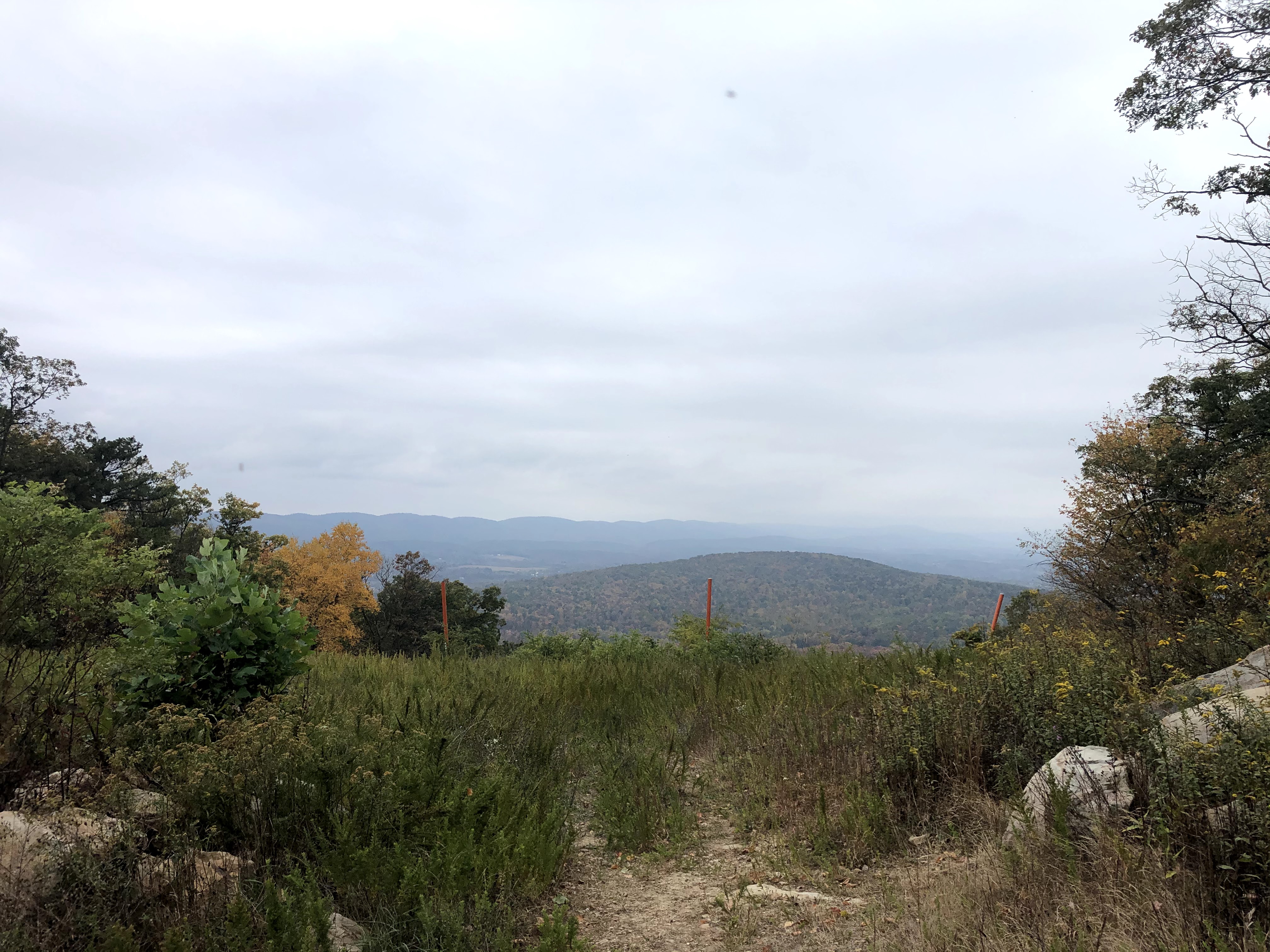
The road didn’t come. Instead, as we put more and more distance between ourselves and ridge, we came upon Hawk Rock Overlook. There were a bunch of tourists up there taking pictures so I took one from the side of the rock. Mr. Viking was there when we arrived but by the time I took my pictures, he was off again, and then us after him. In my mind, rain was coming and so we didn’t have time to dawdle. There is a steep descent from Hawk Rock with narrow stone steps you have to navigate down. I couldn’t imagine climbing up them.

The rock steps kept going and going. They bent around the ridge with a steep drop off on our left side. Just a few minutes more, I kept thinking, and there the road would be. It became increasingly clear that we had underestimated the mileage — no matter how long we were in the woods, we definitely had about two miles through town and over a bridge.
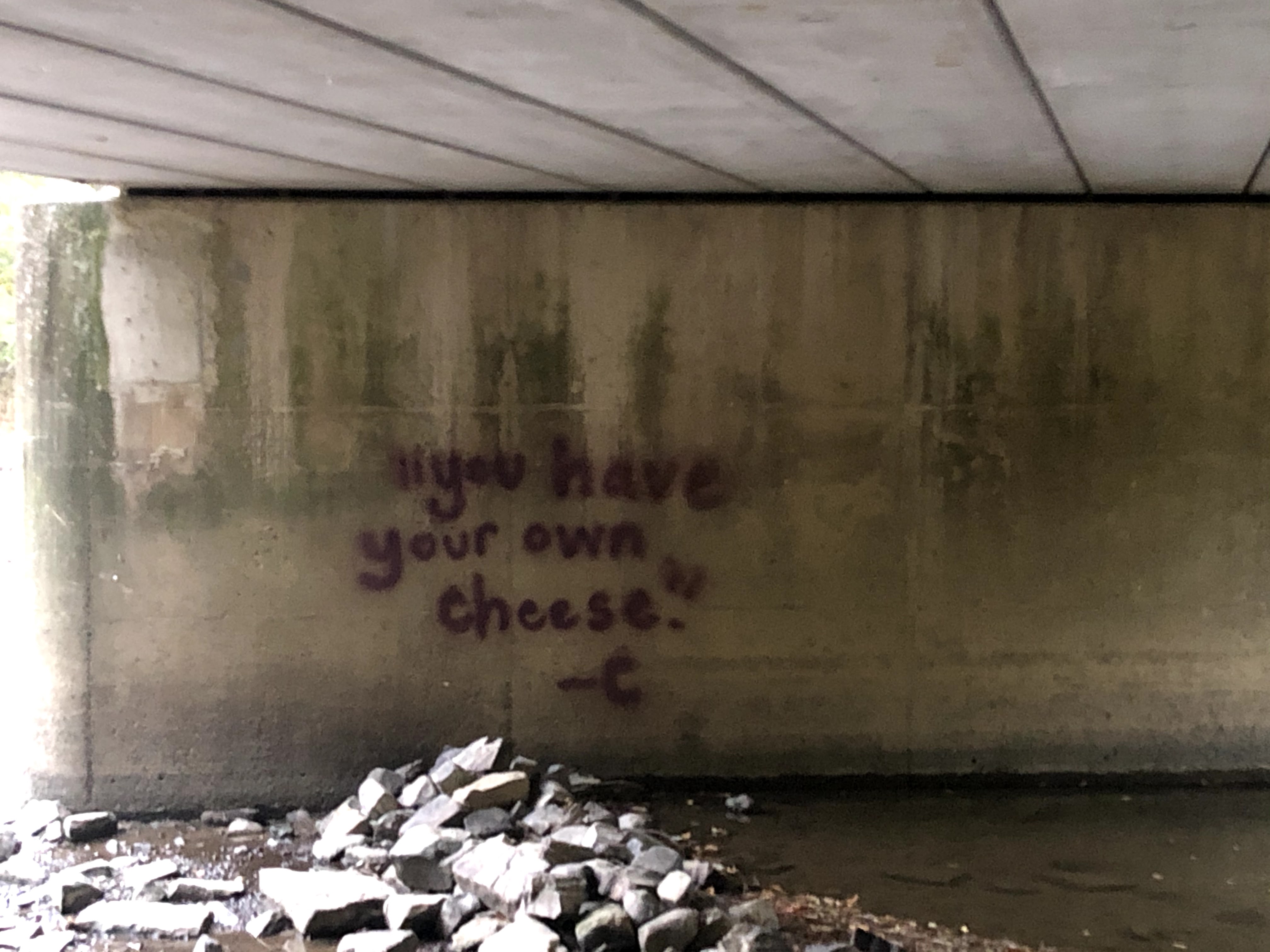
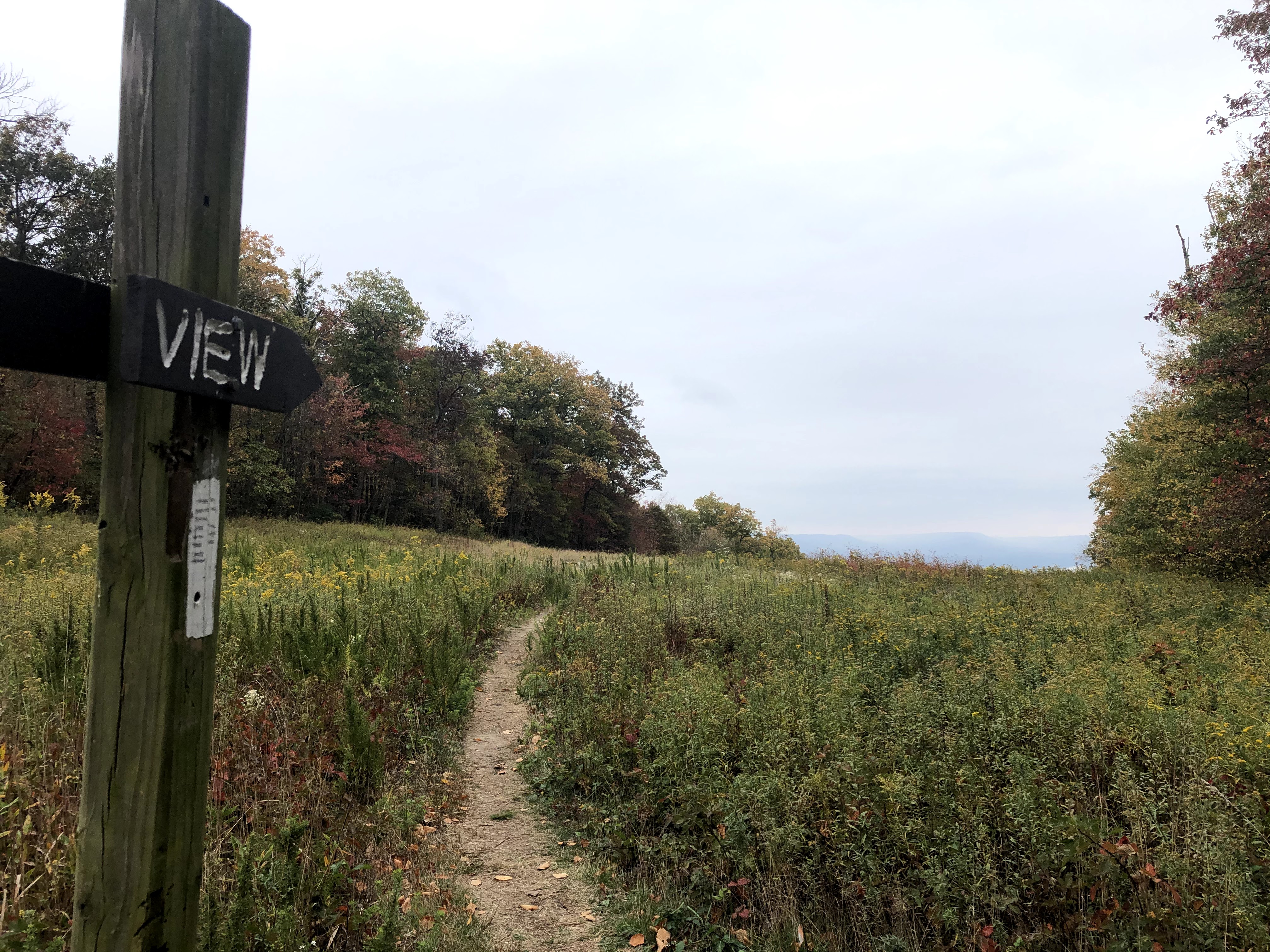
Then came the most dispiriting moment of the entire day. We had been going downhill for about a mile at this point, and I figured we’d be carried gently down the ridge until we reached the road. But no. As you can see from the picture, we reached this juncture. To the left went Mr. Viking. But we had to go right.
The AT clearly veered to the right and up. I swore. The Mennonite family we had passed were thankfully out of earshot (I assume). The blazes were too clear to ignore. I had Henry dig in the backpack for my bag of candy that I normally eat on the drive home. I needed sugar — stat. Swearing and frustrated and with legs like jelly, we headed back up the trail.
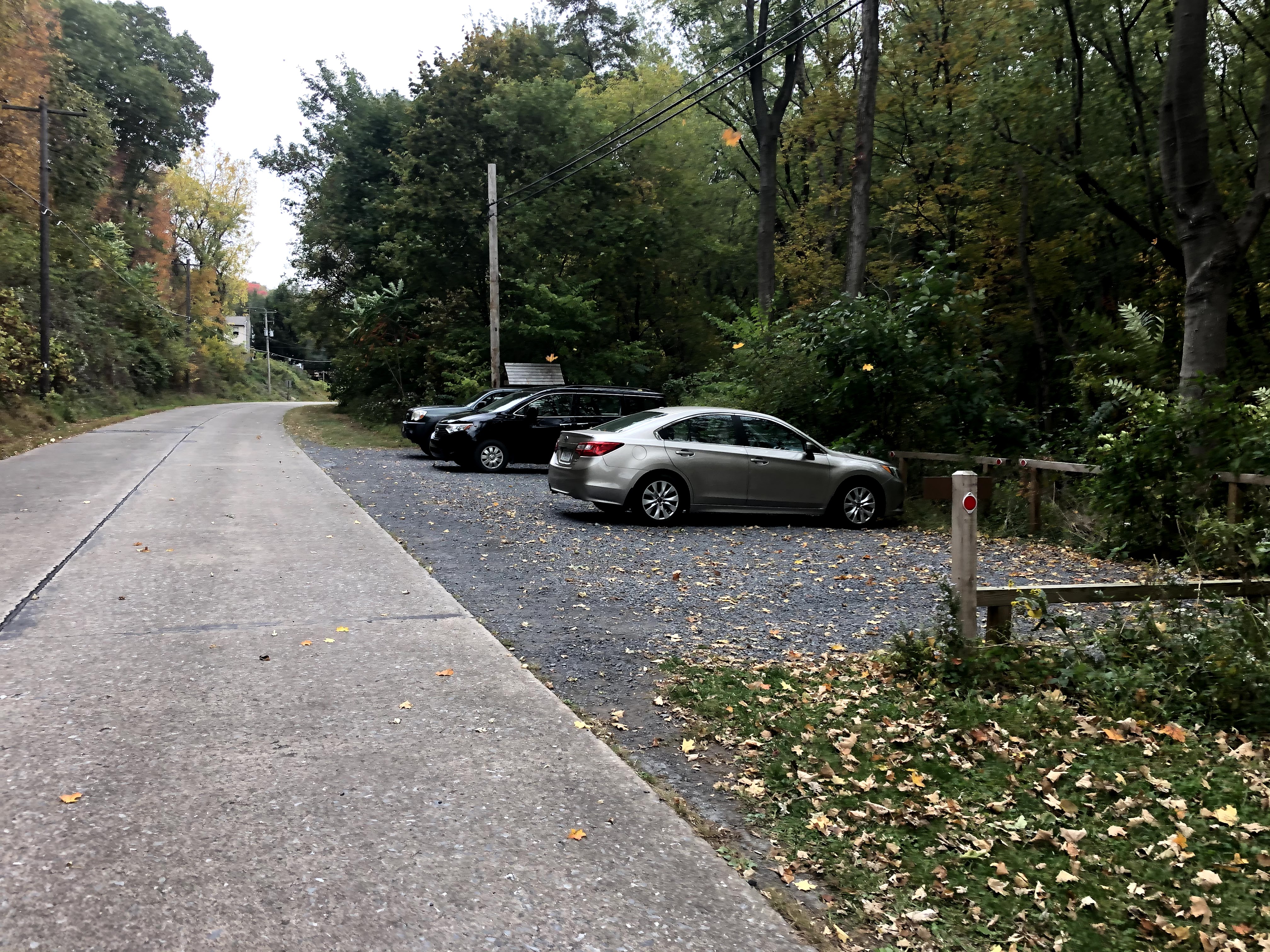
Going uphill doesn’t really last that long, now looking back. But in the moment it felt like the worst part of the day. Eventually the trail did head back down towards a road with the greatest little parking lot that we were too dumb to park our car in (an accurate representation of how negative my thoughts were at the time. I was positively sulking). No, our car was across the freaking Susquehanna.
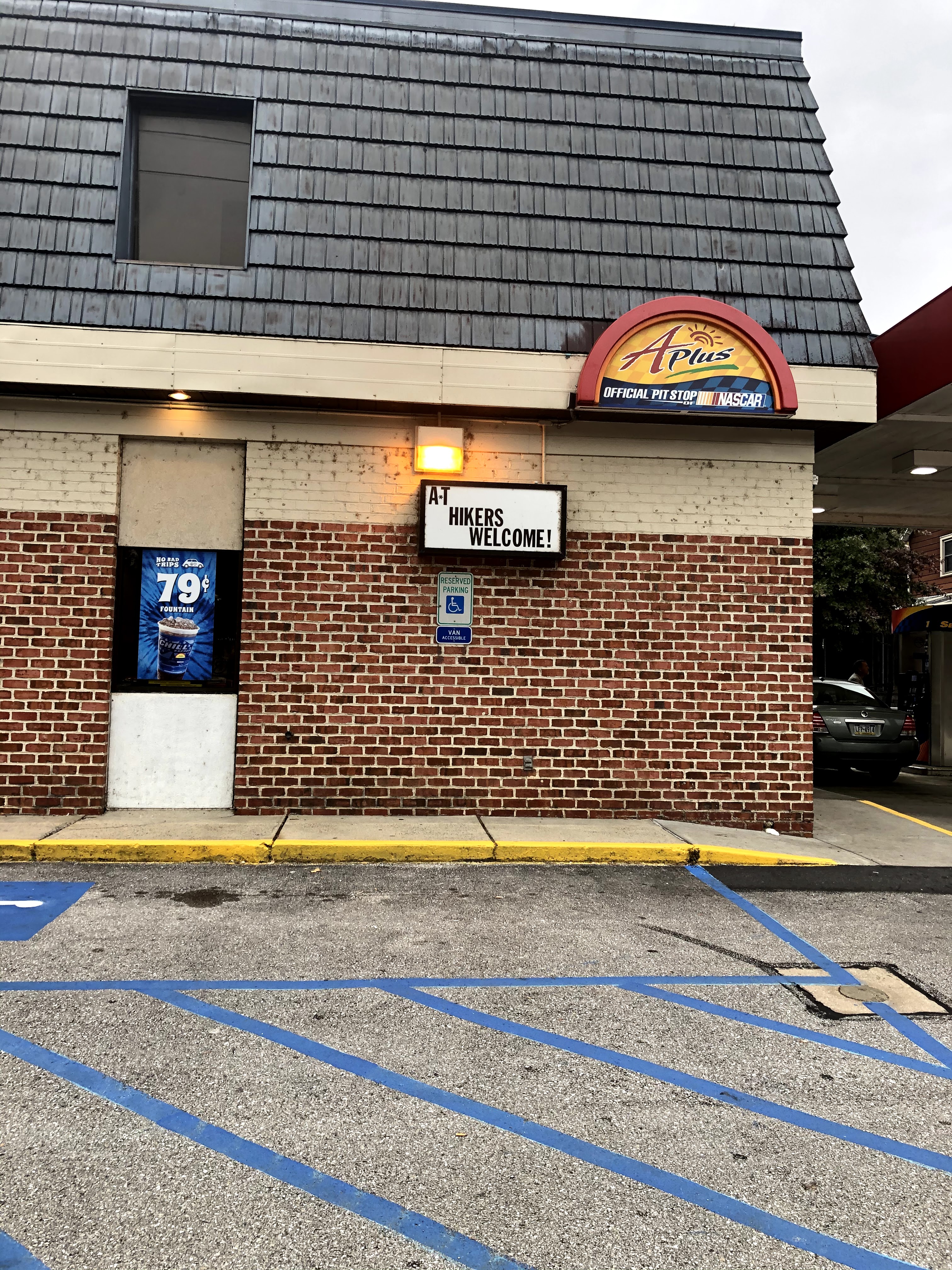
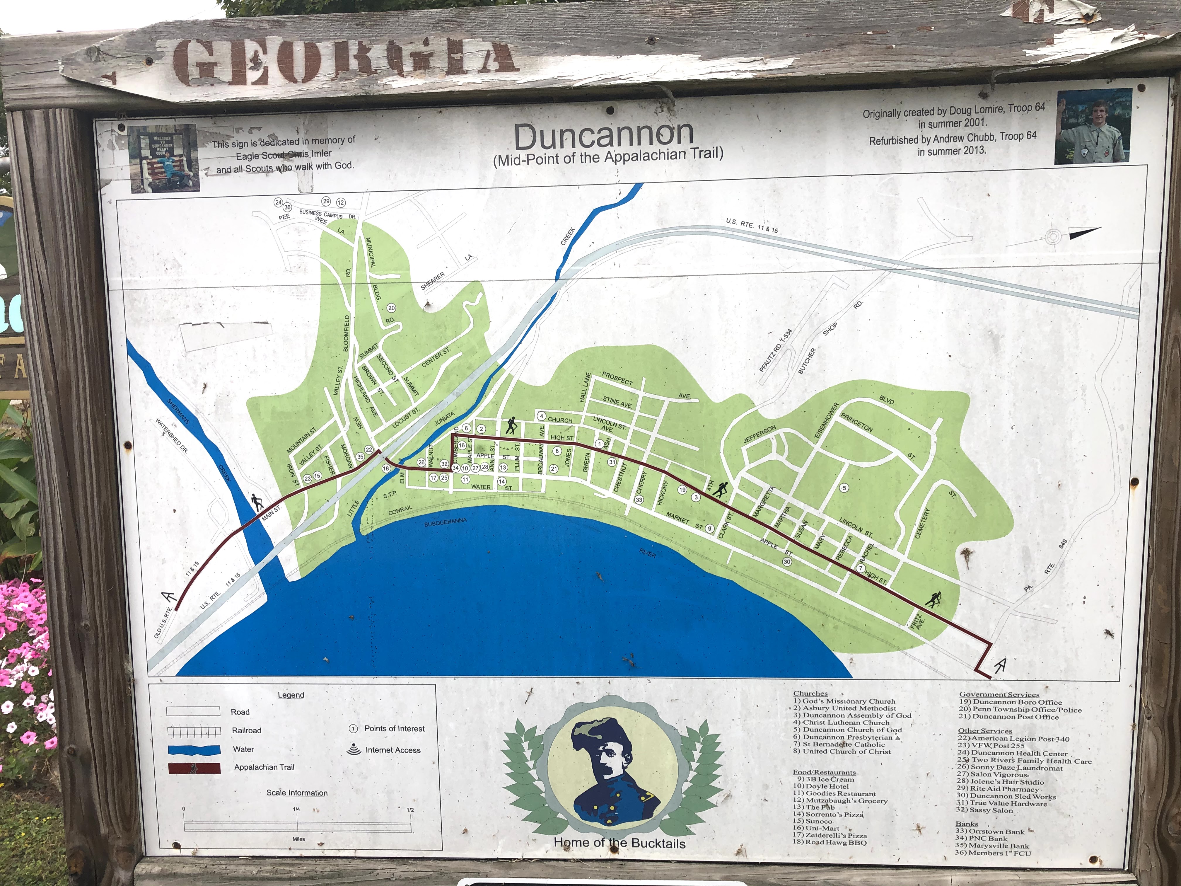

You have to pay very close attention to the blazes when you are walking downtown Duncannon, PA. The trail does not take a straight shot down Main Street; no, it takes you up, then down a residential area, then back down to Main Street. I have to imagine this is some way to keep thru-hikers from smelling up the downtown but honestly I was a little ticked that I had to go out of my way just to stay on the trail.
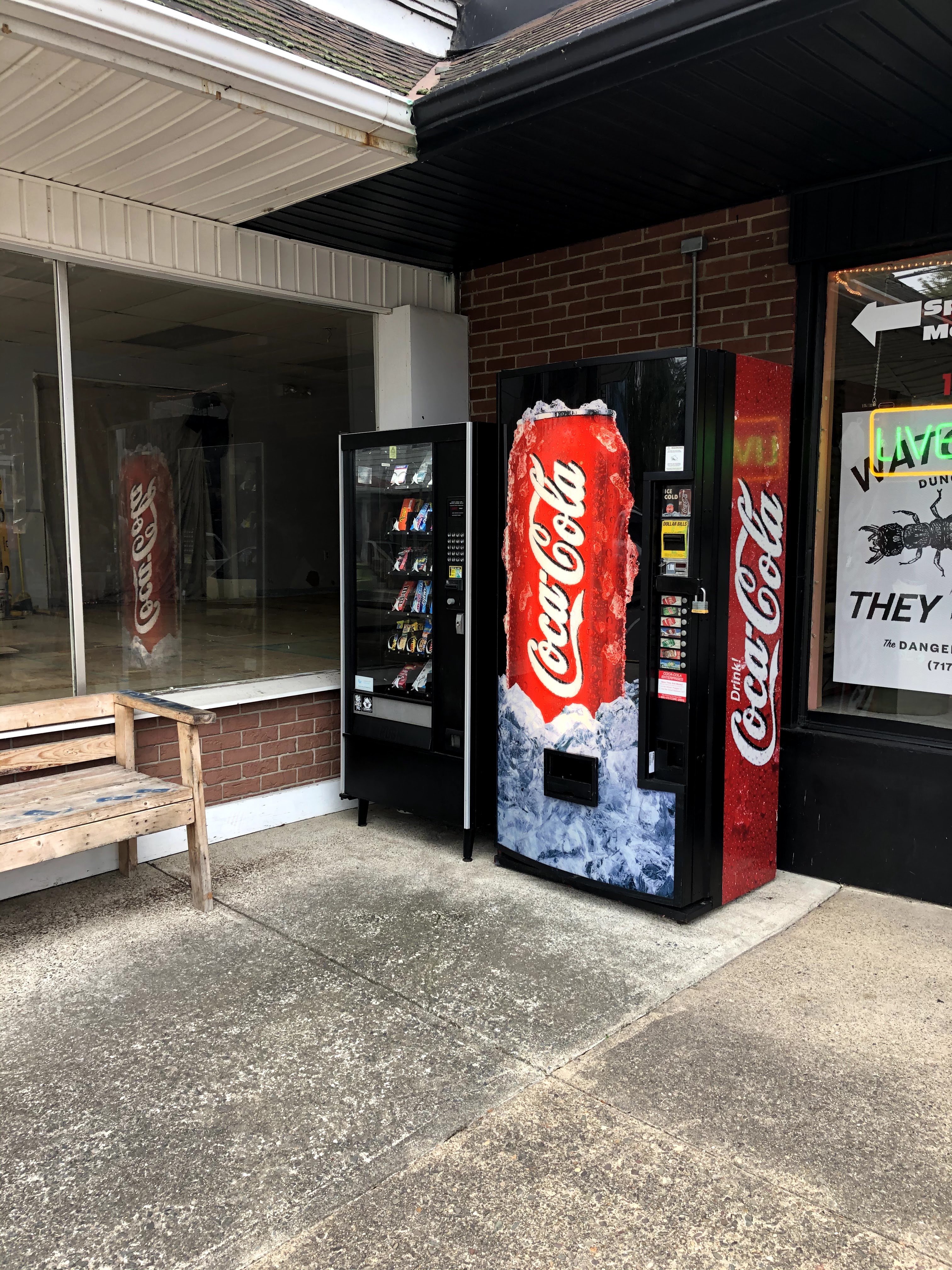
We paused so Henry could replenish our supply of Mike and Ike’s. He kindly shared.
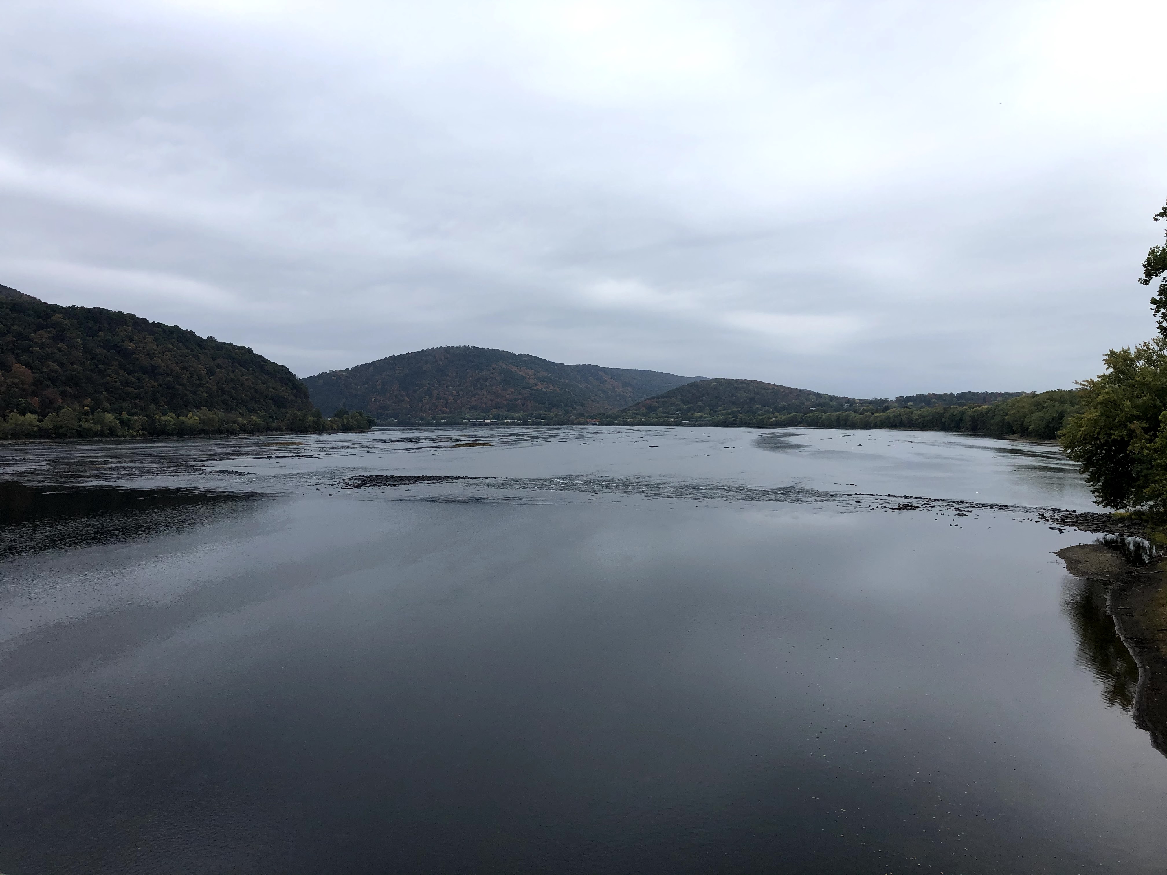
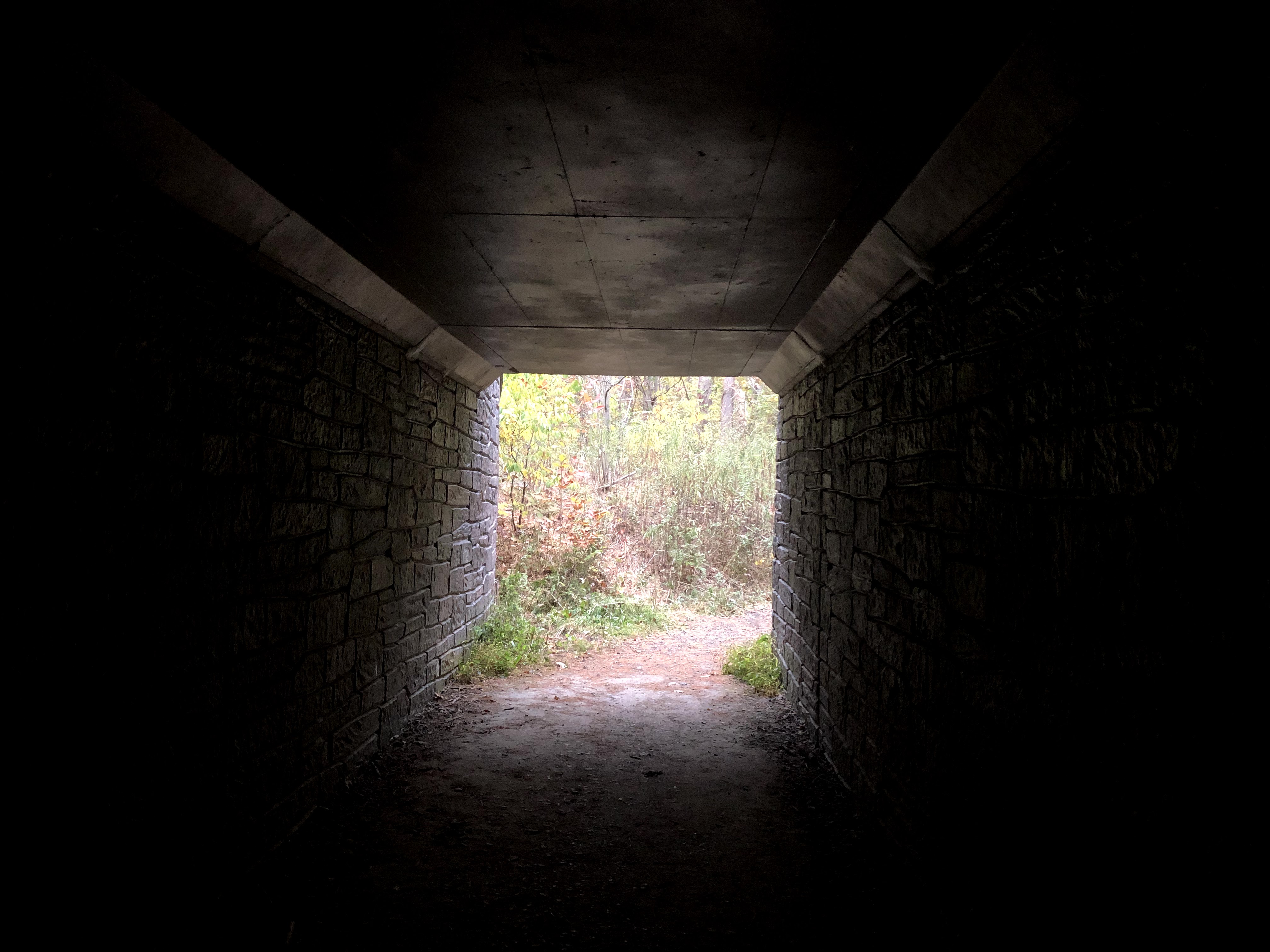
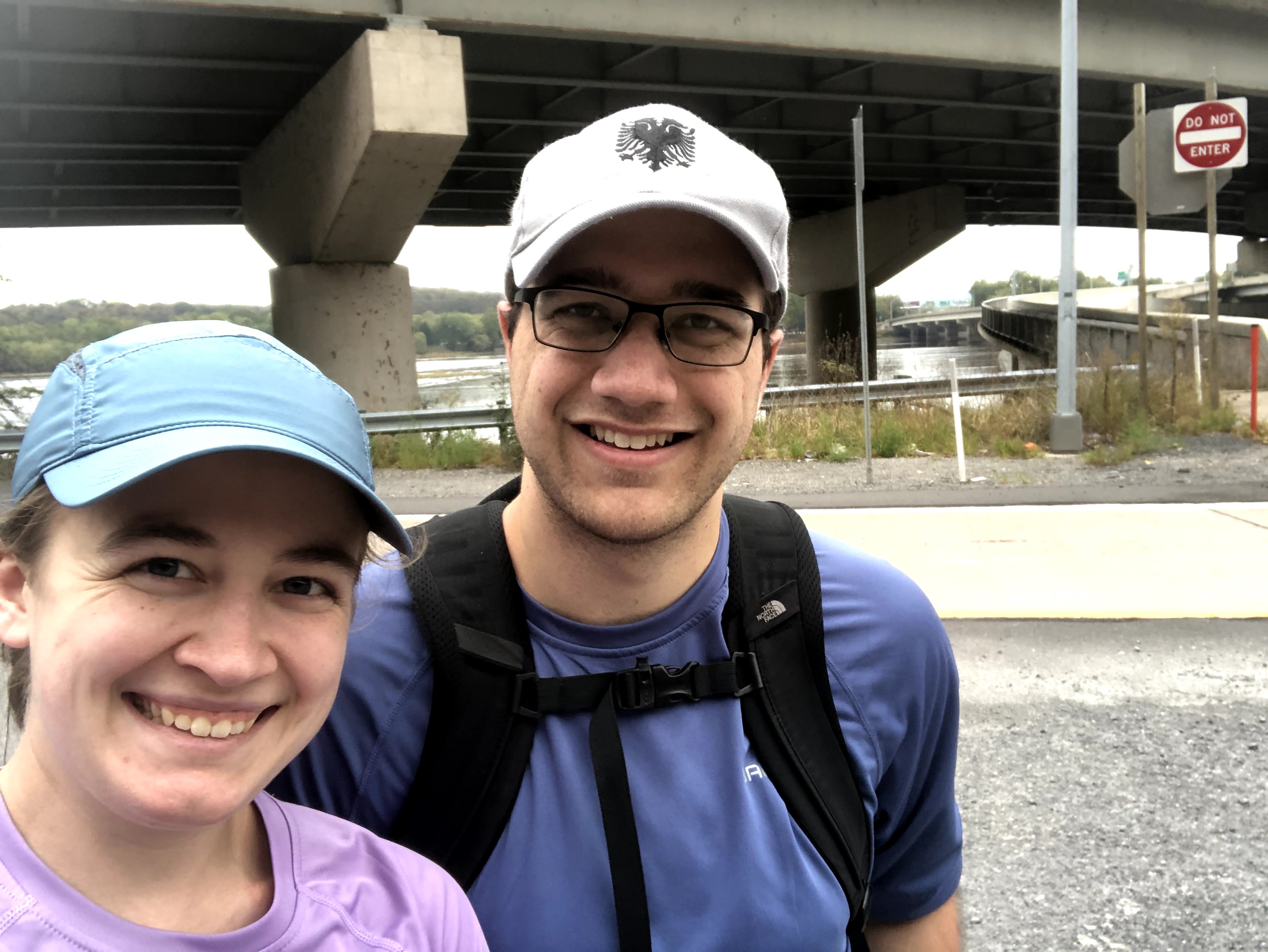
Duncannon reminded us a lot of the town we grew up in. There were kids riding on bicycles in flip-flops, kids scootering on sidewalks, people sitting in brightly colored plastic chairs on their front porches, and families raking their yards. Lots of decor ready for Halloween. When we eventually joined the main drag again, we had to go under an overpass, pass a campground, head over a small bridge, and then finally cross over the Susquehanna to our Park and Ride. My feet hurt more on this trek than any of the other ones. Without a true break in the day (our lunches normally take about 10 minutes), 18 miles is way too long, especially when there is a drive two hours each way to do it. I’m looking forward to 20-milers when we are actually camping at night, but on those days we’ll take more meaningful stops.
So glad this is stretch is all behind us.
| Miles Completed | 129.7 |
| Miles to Go | 2060.3 |
| Percentage Complete | 5.9% |
